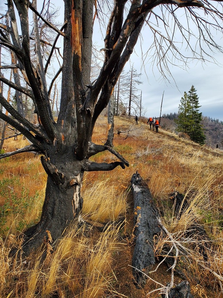
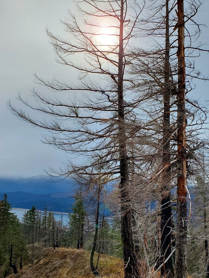
This report includes a 360º video & photo file. Monday morning, great way to start the week. Our group encountered no one else all day. The GPS lead us up the right forest service road toward the actual TH. At ~3500' elevation leave the road and start up the ridge, then cross two more roads while traveling through the burnt forest. The actual TH with its TH sign is beyond these. After the TH sign, there are several down trees across the trail with boot paths to detour around. The trail approaches from the west and we zigzagged our way up the south side of the summit, but the gravel is loose. Belatedly, it was realized there's a better approach by going all the way around to the east side of the summit.
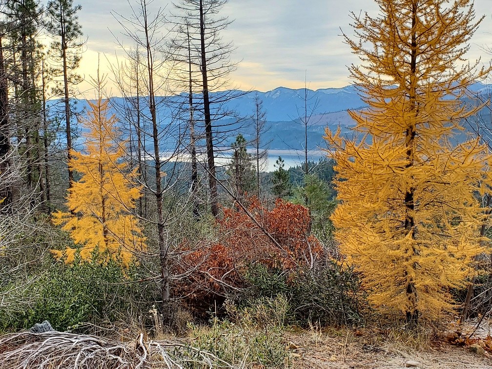
Some in the group had only previously done this as a snowshoe; hence, were pleasantly surprised by the numerous golden Western Larch trees along the trail, as well as dispersed amongst the forest on both slopes of Lake Cle Elum.


Comments