
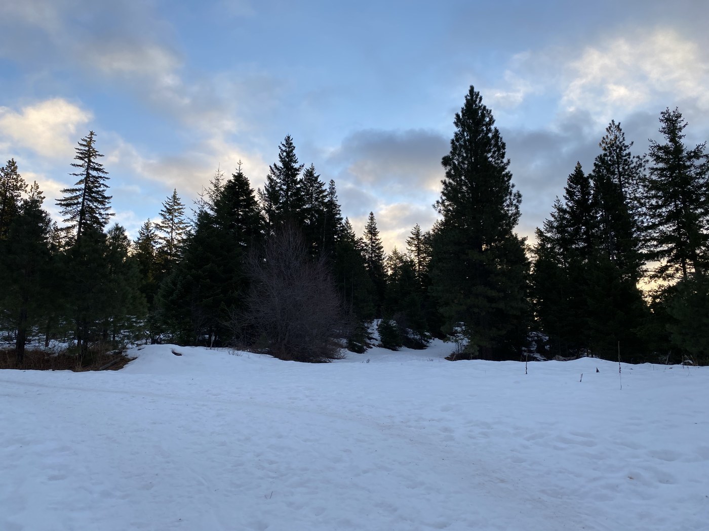
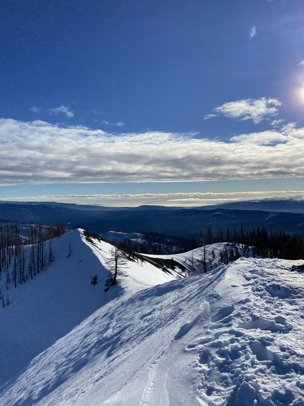
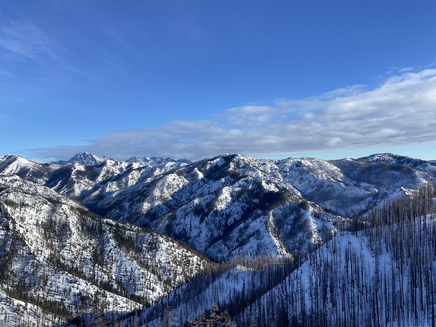
Finally got out to Hex Mountain, and what a day for it! We had dramatic clouds early, with a gorgeous clear view at the summit.
The “parking lot” is more just a short bit of road where you pull off and park before the gate. We arrived around 8 AM and there were maybe 2-3 cars.
Trail is easy to follow up to Hex right now because it has been well worn down in the snow by other hikers. No need for snowshoes at this time as the snow is crusty and hard-packed for the most part, and the trail very uneven from frozen post-holes and deep steps. Spikes helped a lot in the hard icy morning snow, but you could probably be fine without them too.
We took our time taking photos of the lovely views on the way up and reached the summit around 10 AM.
Having read the trip report from yesterday that mentioned making a loop out of the trip rather than going back the way we came, we decided to try that! But read on if you’re interested in the same, as it isn’t a path without issue.
The snow on the backside of the loop was much better for snowshoeing. We hadn’t brought ours from the car, and still managed okay, but had some knee and thigh-deep postholing that would have been mitigated by snowshoes.
The Gaia map of this loop is accurate... to a point. As we closed in toward where the backside loop connects back with the Hex trail, suddenly there wasn’t a trail. We ran into the same issue mentioned in yesterday’s report: you get near the creek and Gaia tells you there should be a crossing but it’s a STEEP and dodgy drop into the creek area and just not anything we felt safe attempting, nor did we see any sign of a trail anywhere on the other side of the creek.
At that point, we decided to simply follow the creek (from safely above the steep areas) in the general direction toward Salmon La Sac road and bushwhack a bit.
This worked out okay, if a bit more adventure than we planned on! I think we even ran into the footprints from yesterday’s same adventurers eventually.
We found the easy creek crossing they mentioned way further down and around 2600’. Crossed and continued bushwhacking to get back to the Hex trail.
Thanks to having had a map/GPS to follow, this off-trail section was simple enough, but I would NOT recommend anyone try it if you’re counting on following tracks - there aren’t any, and if you follow ours, good luck... we did some back and forth trying to find the original creek crossing! Please be wise and prepared. The much clearer/simpler option is to just go back down from Hex the way you came. Do not attempt the loop without proper gear and GPS to help you.
All in all, we made it back to the car around 1 PM.
Great fun, beautiful views. Solid day!
Comments