

I was excited to get a bit off the beaten path and check out these falls on a mostly clear Sunday. Four other vehicles were there when we arrived around 11.30 am. The road once you turn off the middle fork road is pretty brutal and with some pretty large water-filled potholes making it impossible to judge depth. There are also 3 washouts, 2 of which are fine, but one you should use the side route. Those last 6 miles took a good 40 minutes, but I was driving particularly cautiously. My Rav4 did fine, but I wouldn’t recommend any sedans attempt that.
The middle fork trail is in fantastic shape. Like the previous post said, the trail to the right of cripple creek is pretty clear. You immediately start climbing and the trail gets hard to follow at times, lots of fallen trees to navigate. You can’t really get lost because you’re just following the creek, but there are enough cairns and a few orange ribbons tied to branches that navigation isn’t too bad.
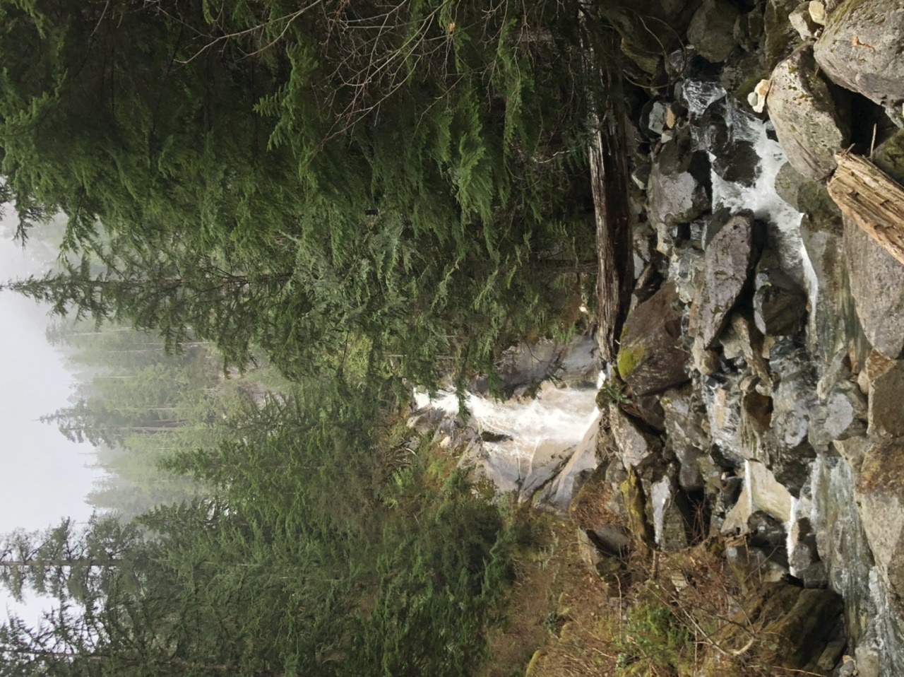
We scrambled around but didn’t manage to get to the upper falls, only saw them partially and still at a distance. There are two different parts where people left cairns and my Alpine Lakes Wilderness guide didn’t help much either. It also started misting so the rocks were getting slick and we decided to just enjoy the lower falls.
We took about 4.5 hours total, but not at a very fast pace and also lots of time at the falls. It’s slow going once you turn off the middle fork trail. Given the condition of the road, I would just park at the middle fork trailhead and do it as a longer out and back hike. The trail is in way better condition than the road and it’s just a great way to spend more time in the forest.
Comments