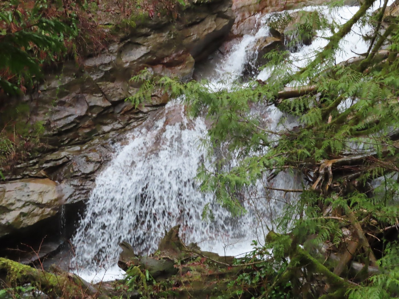
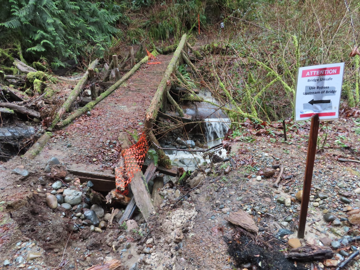
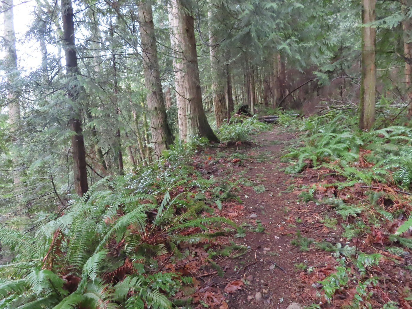
Began my hike by taking the connector road from Tiger Mtn. Road SE to West Side Road. The West Side Road was built back in 1976 by the DNR and Weyco for their logging operations at the time. The old trailhead parking area for the Grand Canyon of 15 Mile Creek Trail was built back in 1995 with a restroom and ADA ramp. After the West Side Road was gated at Tiger Summit several years ago, DNR removed the restroom since you can no longer drive to it. Today there are some bike stands and the ADA ramp is still here. Since I last hiked this trail over seven years ago, the trail has been brushed out and some drainage work done. There are a couple of blown down Doug Fir trees, but you can duck under them. At the start of the trail are some old concrete foundations for the former coal crusher building. The trail follows along on an old railroad grade, crosses a creek on a bridge and passes the remains of the coal washery building used to wash the coal before it was crushed. Further on the trail crosses a creek where a bypass trail is due to the fact that the bridge over the creek is in really bad shape and is no longer safe to cross. Before getting to the end of the trail on the railroad grade is a side trail that goes up an old roadbed to the coal mine entrance. This was the Caroline Mine used from 1925 to 1940. I hiked out to the end of the railroad grade to the canyon viewpoint. This was where coal was dumped into coal cars on the railroad. The water in the creek this time of year is really roaring. There are some signs at the viewpoint telling the history of the canyon. This one is a youthful valley while the Cedar River is a mature valley and the Snoqualmie River is an old valley. After a snack I headed back on the trail and took the one going up to the old Caroline Mine entrance. It is closed off with water running out of it. The trail goes up further to a viewpoint looking up the creek where the trail has sluffed off the high bank above the creek. Years ago this trail continued up stream, then crossed the creek and went through Three Creek Flat to meet up with the Hidden Forest Trail.
The coal mined in this area would have gone down to the Hobart area on a spur track to meet the Taylor branch line of the Pacific Coast Railroad. One of the small mine hopper cars was found near the Caroline Mine several years ago and is now on display at the Issaquah History Museum at the former Northern Pacific Railway depot.
After getting back down to the broken bridge, I saw a short trail heading up hill to another old mine entrance, now filled in. There was a brass cap in a large metal pipe for the USDI Office of Surface Mining for Tiger Mtn. Mine Reclamation of 1995. I also noticed large metal pipe at the end of the broken bridge. This may have been the water pipe going down to the coal washery building. When I got to the bridge near the coal washery building remains I started hiking up the connector trail that meets up with the Hobart-Middle Tiger Railroad Grade Trail. This trail begins right by the bridge. I had not hiked this one before and found it to be a good one most of the way. The last couple of tenths of mile are the steepest part of this one. Once up to the Hobart-Middle Tiger RR Grade Trail I headed south and soon found a fallen Doug Fir for lunch time bench. As I finished eating it hailed for about three minutes. I then hiked this trail back down to the West Side Road by the cement concrete road bridge over a fork of 15 Mile Creek. The railroad grade of Wood & Iverson who logged the south side of Tiger Mtn. had a large trestle to cross this creek. No signs of it now. I hiked over the road bridge and went up hill a short distance to where I found the old logging railroad grade on the up hill side of the road. On the down hill side of the road I saw where a trail was going on the railroad grade heading south. This was the W&I railroad tracks that went to their saw mill in Hobart. I hiked the trail a couple of hundred yards to where it left the grade, and made a sharp turn to the right and was going down hill. Looked like it does not get much use. I turned around here and hiked the West Side Road back down to where I had parked.
I only saw a handful of other hikers on my trip. No birds or animals were seen. Makes for a fun history hiked along with a new trail for me to hike. As I drove home past the Chirico Trail to PooPoo Point parking lot, I saw that it was full along with the $5 pay lot near by. There are other trails on Tiger Mtn. to hike with no big crowds, check them out. George


Comments
abovealki on Grand Canyon of Fifteenmile Creek, Hobart - Middle Tiger Railroad Trail, West Side Road
I've hiked this not-so-often visited part of Tiger a few years back by biking up the West Side Road. From Tiger Mtn. Road S, there doesn't seem to be any obvious parking near the connector road, just lots of no parking signs. Is there aaailable parking somewhere along here that I've missed? Thanks.
Posted by:
abovealki on Feb 21, 2021 07:46 AM
George & Sally on Grand Canyon of Fifteenmile Creek, Hobart - Middle Tiger Railroad Trail, West Side Road
I parked on a public side street nearby.
Posted by:
George & Sally on Feb 21, 2021 10:29 AM
Lunapeople on Grand Canyon of Fifteenmile Creek, Hobart - Middle Tiger Railroad Trail, West Side Road
Thanks so much for all this history! So great to read about it. We hiked in from Tiger Mtn Road SE yesterday 3/6/21 (the no parking signs are new since I was last here in January) and were wondering about the big concrete pillars at the beginning of the 15 mile canyon trail. We did not hike 15 mile but went up to do a Hidden Forest-One View-Poo Poo-West Side road loop.
Also, great to know there is a connector trail to the Hobart-Middle Tiger RR grade, not shown on my 2014 map. Do you know if there is any sort of connector trail leading from the 15 mile canyon up directly to the 15 mile RR grade? Also not shown on my 2014 Green trails but the distance appears short.
Posted by:
Lunapeople on Mar 07, 2021 04:17 PM
George & Sally on Grand Canyon of Fifteenmile Creek, Hobart - Middle Tiger Railroad Trail, West Side Road
The concrete foundations at the beginning of the trail were for the coal crushing building that I mentioned in my report. There is no trail from the Grand Canyon of 15 Mile Creek trail up to the 15 Mile RR grade trail. The connector trail from the GC15MC trail up to the Hobart-Middle Tiger RR Grade trail is not shown on the GT map of Tiger Mtn. It is not on the All Trails map either, as they do not show "All" the trails. There are other trails on Tiger Mtn. not shown on maps. George
Posted by:
George & Sally on Mar 08, 2021 02:51 PM
Lunapeople on Grand Canyon of Fifteenmile Creek, Hobart - Middle Tiger Railroad Trail, West Side Road
Thanks!
Posted by:
Lunapeople on Mar 09, 2021 10:43 AM
Lunapeople on Grand Canyon of Fifteenmile Creek, Hobart - Middle Tiger Railroad Trail, West Side Road
Do you know about how long the 15 mile -Hobart/Middle Tiger-West Side Road loop is? Looks like about 5 miles but wondered if you tracked it.
Posted by:
Lunapeople on Mar 09, 2021 10:45 AM
Lunapeople on Grand Canyon of Fifteenmile Creek, Hobart - Middle Tiger Railroad Trail, West Side Road
Ok, we did this today only instead of using the connector trail from GC of 15 mile to Hobart RR grade early on we decided to see if we could find the "boot track" from the end of the canyon trail that is mentioned on the WTA description. Short answer, not really, it starts off looking like a boot track and then after reaching a brief flat area pretty quickly fades in a tangle of ferns and brambles. We persisted though and did find our way uphill to the RR grade and concrete bridge and Tiger road to make a loop. Strava called it 4.4 miles but with the bushwacking it took longer. Your photo of the connector trail looks enticing and we did see it coming into the RR grade on the uphill end.
Posted by:
Lunapeople on Mar 23, 2021 05:43 PM
Lunapeople on Grand Canyon of Fifteenmile Creek, Hobart - Middle Tiger Railroad Trail, West Side Road
Update: used this connector trail yesterday to begin a patched-together south to north 9 mile one-way traverse to I-90. Very impressed with the connector trail and the fact that it has been deliberately built with some steps, small log walls etc. Thanks again for your interesting reports!
Posted by:
Lunapeople on Apr 03, 2021 11:05 AM
AlpsDayTripper on Grand Canyon of Fifteenmile Creek, Hobart - Middle Tiger Railroad Trail, West Side Road
Thanks for the trail information and the history!
Posted by:
AlpsDayTripper on Mar 20, 2021 06:03 PM