
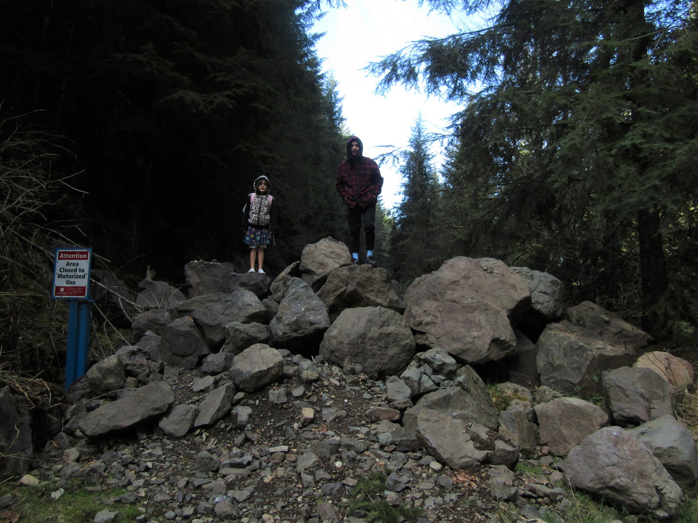
I call this hike Stossel Thumb which is a name I just made up based on the appearance of this hill on the topo map. We’d seen the blocked road (see picture below) on our last trip to the Marckworth Forest, and after looking at the map and Google Earth I decided it was worth a try. Unfortunately, the images on Earth must be a few years old and taken right after a clearcut because the young trees are now 7 or 8 feet tall.
Not disappointing though. The road is wide and easy to travel almost all the way up through nice second growth forest. There’s some huge stumps speaking to what once was. Right before the second creek the road reaches a Y (go right) and passing a minor spur right reach a second one right that has a somewhat easy path through alder and goes all the way to the base of the hill.
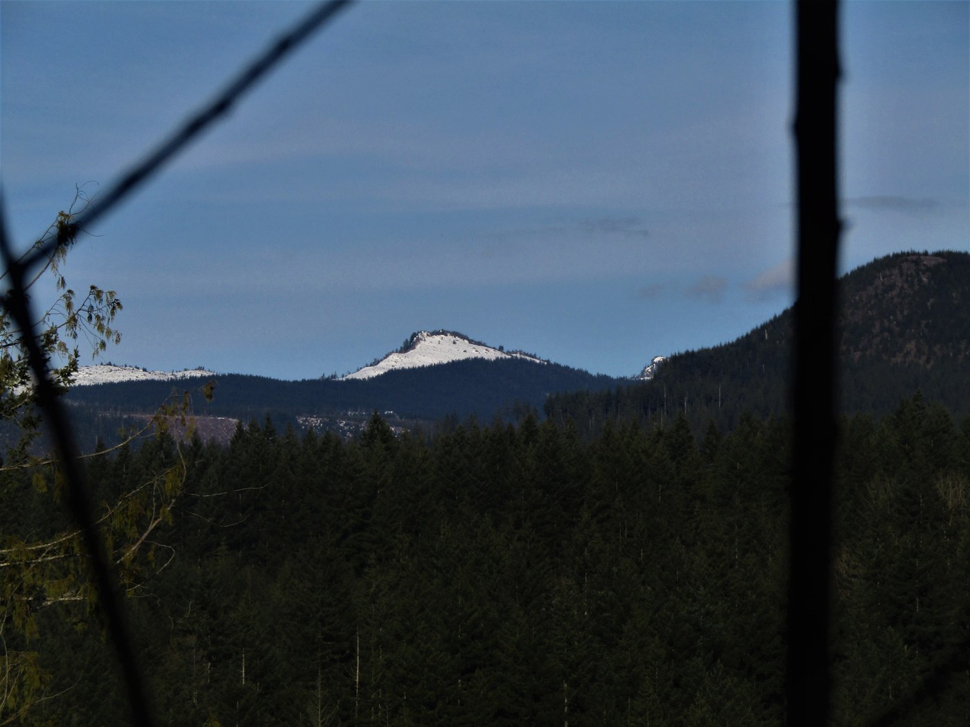
Ascending this spur there was one clear view about half way along near a survey marker, then at the base of the hill I beat a path to the right through slash, alders, and blackberries to two stumps that I used to get a view of snow covered peaks. I think you could climb the small ridge to the left and possibly get more views but the kids balked at waiting for me after already killing time while I chased my first view. Glad to have them along even when it means less distance. The road/trailhead is on Stossel Creek Road a long mile past Swan’s Mill Pond Road. 1.2 miles roundtrip and 320 ft. gain.

Comments
mato on Marckworth Forest
Here you are again with another obscure destination. Still looking for something interesting in the Marckworth, eh? Good luck...
Posted by:
mato on Mar 18, 2021 07:19 AM
Ups n Downs on Marckworth Forest
Never say die! But yes I'm beginning to wonder.
Posted by:
Ups n Downs on Mar 18, 2021 10:30 AM