Timber Mountain is another one of those destinations that standing fire lookout hunters are after. Most folks might not go here, if it wasn't for the standing lookout cab, which is in the National Historic Lookout Register, but for folks on the east side, this is a relatively close fire lookout hike with minimized avalanche risk in the winter time (there aren't any sno-parks nearby, however, so the trek in is long in the winter time/before snow melts).
The way to the lookout follows Ruby Creek Rd and Tacoma Divide Rd. This area is being actively logged in the summertime at least, so the window for visiting the lookout might be small -- I don't know exactly, since I didn't travel the road during business hours; check with the Colville NF/nearby timber companies before proceeding.
Road Conditions
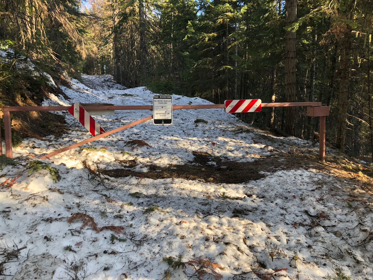
I blindly followed Google Maps with the term "Timber Mountain" and unfortunately it led me really astray (on foot) up Logging Rd (the road is closed to motorized use per signage, but I found old snowmobile tracks). Fortunately I caught myself 1/4 of a mile down the road before going any further, otherwise I wouldn't have made it to the lookout before sunset.
The road before that is muddy and icy in sections. My Subaru CrossTrek's traction control/AWD was pretty lit up on the muddy sections. Correcting my route and driving further, I drove through even more rutted mud and some ice in Little Ruby Creek meadow, then promptly got stuck backing out trying to go further up the road (the snow was deep and unstable enough that my Subaru high centered accidentally turning off in the ditch). After digging myself out for about 15 minutes, I got myself free and gunned it off the snow so I could get back to the compact ice. I parked at the intersection near 48.5373, -117.4832, which isn't the official "trailhead" (it's about 1.5 miles shy of it).
From there on I pushed up towards the "trailhead", following the road and snowmobile tracks along it (they were the most stable sections of snow; it was like walking on glacier ice).
The "Trail"
The path following the "trail" (it's an old road) was good, but punchy snow wise, so I stuck to shaded sections where possible and pushed straight uphill in a bushwhacky manner. Bushwhacking didn't help save a lot of time, but it cut some of the distance in areas and not in others.
Much of the track followed the road though, so if it wasn't for the snow, I would have hiked up the entire roadbed.
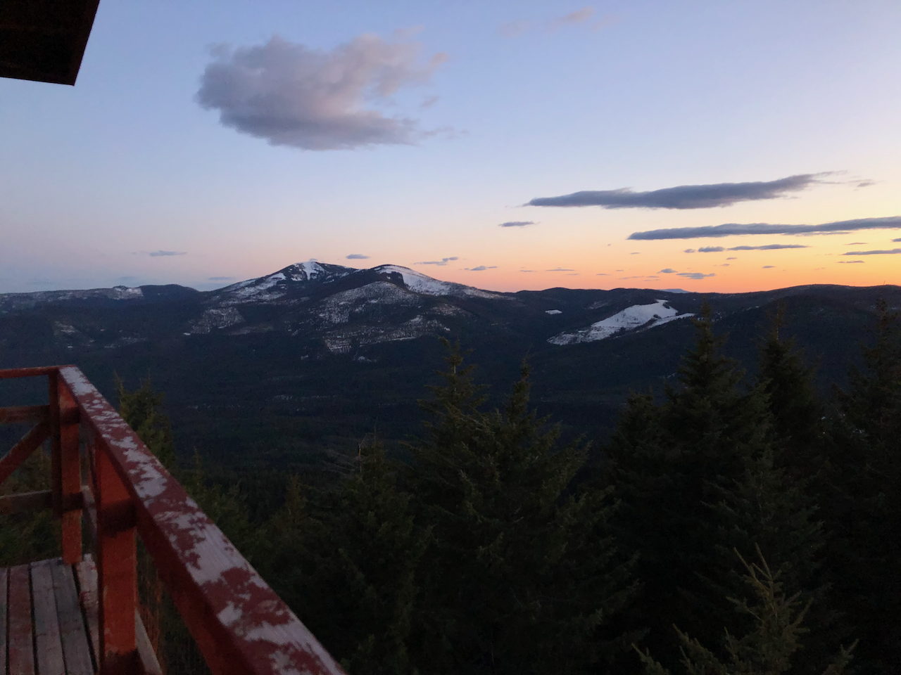
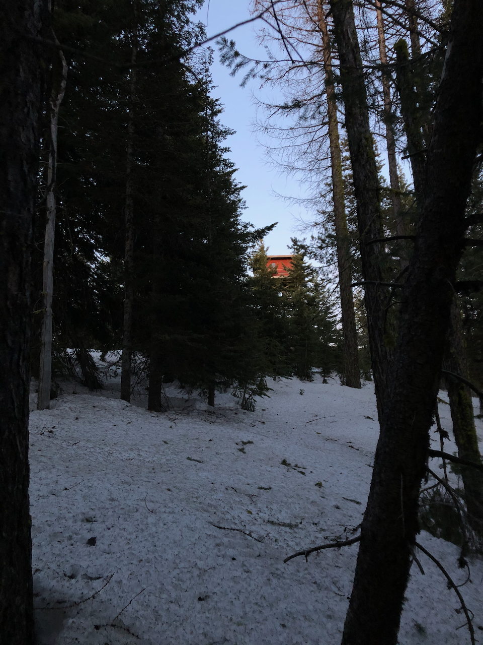
Near the lookout I pushed up the low angle ridge to cut the distance and got to the lookout just before sunset.
On the way back down I followed the roadbed (which admittedly was more solid as the sun set). There were several trees over the road though (around 15), so whether or not it was shorter to walk down the road was a bit of a toss-up.
But Wait -- There Are Prizes!
I accidentally dropped my black Black Diamond head lamp on the way out (it fell out of my jacket pocket when I was fumbling around). If you find it, please feel free to keep it.


Comments