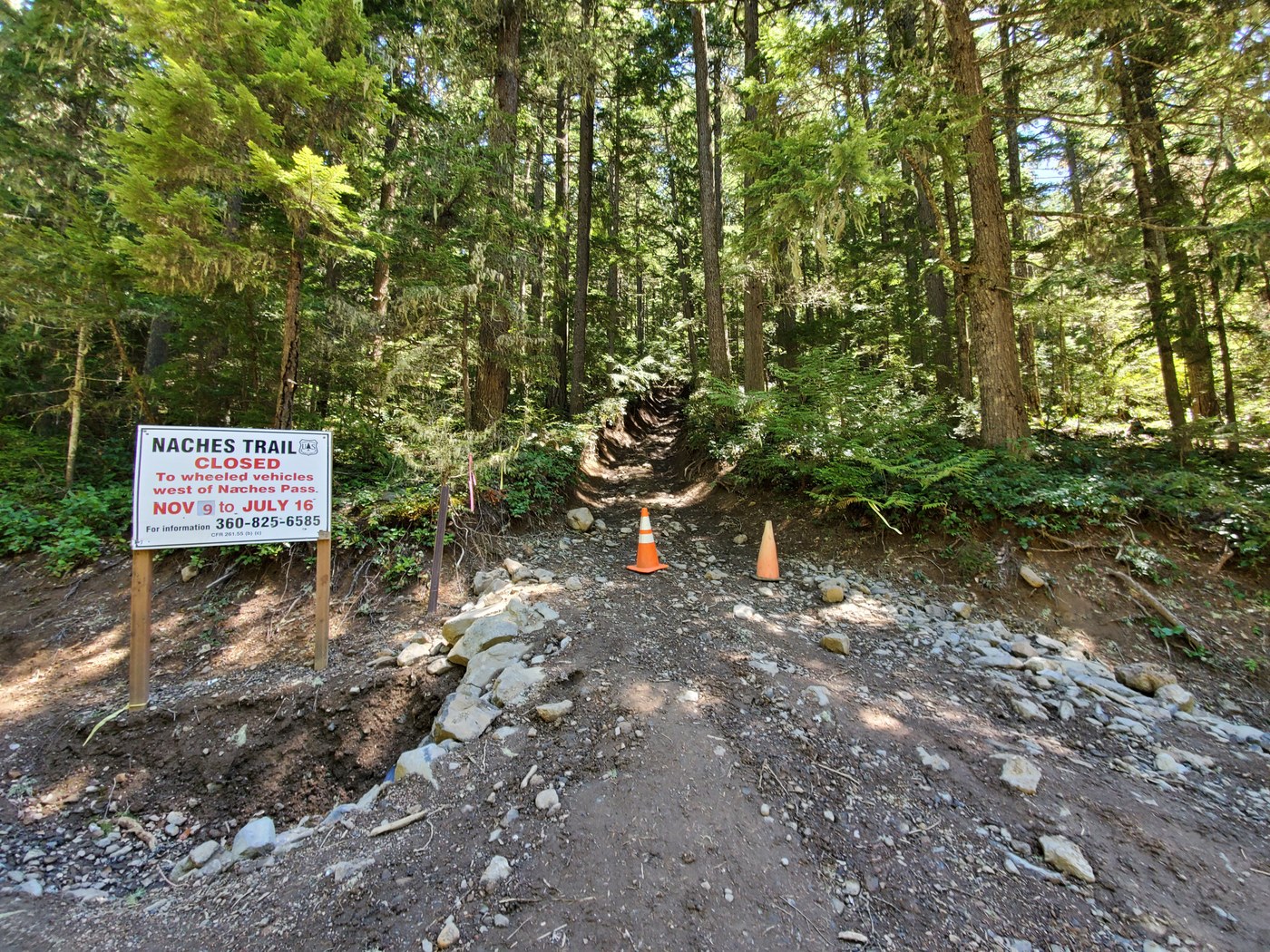
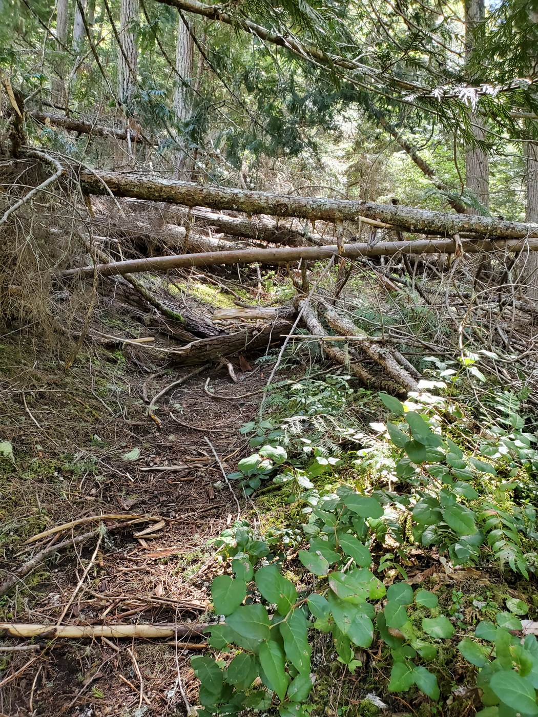
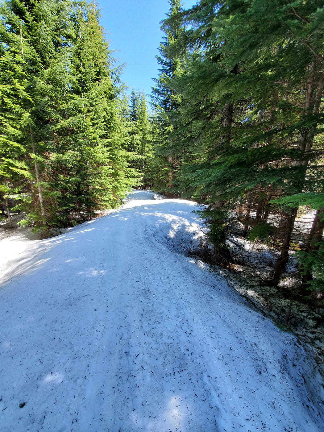
Started from the Greenwater Lakes lot at 12:20. 1st lot was full, but you can pretty much park along the road anywhere. The trail starts UP immediately and does not let up. Combine that with the dozen trees down and it makes for slow going along the section before you cross NF-70. Saw the only other hiker today here on his way down. The climb does not let up, but the downed trees do along the next clip before crossing the Naches trail access road where vehicle access starts. Signage indicates the trail is closed to vehicles Nov 9 - July 16. Well...not exactly. We saw lots of fresh tracks - even between our up and down trips people had attempted a section.This part of the trip was a good deal of eroded and rutted muddy trail with a good amount of standing water, requiring walking through brush and low branches and also a few patches of snow. 0.7 miles from crossing the access road again the trail became a creek from the snow melt and took some hopping for my partner and her trail runners. Gore-Tex hikers for me were fine to make an occasional effort to step over running water which was mostly 2-5 inches deep. We came across a vehicle parked in a meadow area before we crossed the access road and continued up even steeper and more rutted trail. I would really like to see a vehicle maneuver this section! In about 0.2 miles, we encountered snow 30-60 inches deep, but manageable without traction. Still 2 more miles to Government Meadows and the sun was softening the snow making it even slower so we turned back. Now at the meadow area were 4-6 vehicles and people sitting or walking around - not sure which road they came up. We continued down with much less effort than our ascent and for the first time heard gunfire - but off in the distance. We really appreciated the steepness of the trail on the descent as we fought to keep toes from smashing against the front of our shoes. My GPS was intermittent so my best guess is 6.3-7.0 miles total.
 Washington Trails
Association
Trails for everyone, forever


Comments