Quick-and-dirty version
Access: Reynolds Creek TrailheadRound Trip: 12 milesElevation Range: 3160′-7742′Gear: helmet, snowshoes, ice axDog-Friendly: with guidance
The aftermath of the 2018 Crescent Mountain Fire left the area with massive down trees. No trail past the south fork Reynolds Creek confluence.
Approach
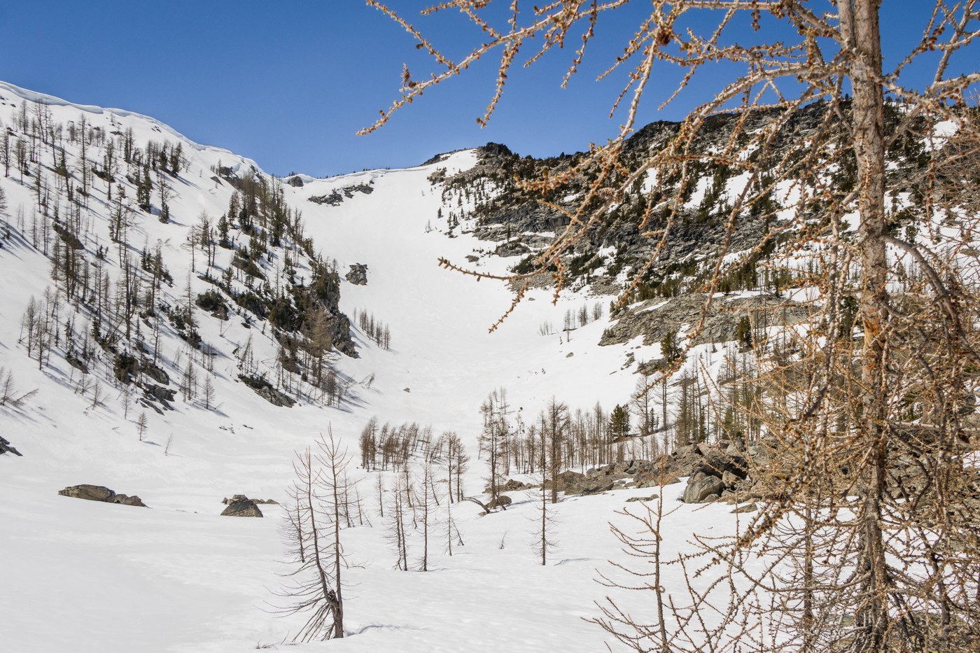
- Hike the Reynolds Creek Trail to reach Rennie Peak's east basin in 5.5 miles. Meanwhile, navigate through the burn zone over down trees until the snow line at 5500'.
- From the basin, climb up the steep eastern slopes to reach the summit.
Highlights
- Expansive view of Lake Chelan-Sawtooth Wilderness and many North Cascades high points
- In-you-face view of Reynolds Peak and Mount Gibbs
- Sunshine and solitude
Lowlights
- Down trees galore


Comments