Got up to Breccia Peak via Lost Creek Ridge today. There is parking area at the trailhead for about six cars, and there is additional parking off on the side of the road. NF 49 road is rough, but any car can make it. Trailhead is 3 miles from the Mountain Loop road.
Trail starts out level, then starts with switchbacks that don’t gain much elevation. After this it is steep switchbacks all the way up to Bingley Gap. This part of the trail is all in the forest, so no views. Once at the gap, trail turns to the right and follows the spine of the ridge. At around 5400 ft the trail breaks out into the open, and the views here are gorgeous and non stop. Sloan is just spectacular, as it is right across the valley.
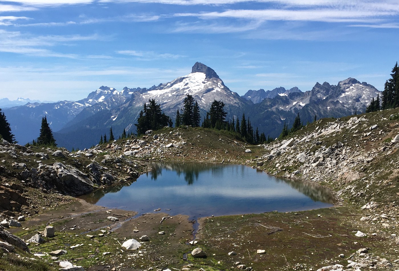
After passing the cutoff to Round Lake, I continued on the trail for about a mile before heading up a trail to Sunup Lake. The trail up to the lake is just past the outflow creek and is off to the left at a nice campsite just off the trail. This trail heads straight up keeping to the right of the outflow creek. This creek was dry, so no water supply here. Sunup Lake is pretty small and the water level was super low.
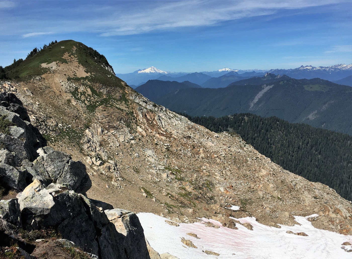
To get up to Breccia Peak, I went around to the right of the lake , and the went up the talus fieldI then veered to the left and caught a spine that had a faint trail. This trail disappeared with two options. There was a super steep meadow that came up from Round Lake, but I had not researched that way, so I veered to the right to avoid the steep rocks. This was a good way to get to the ridge, and then it was a easy ridge walk to the summit.
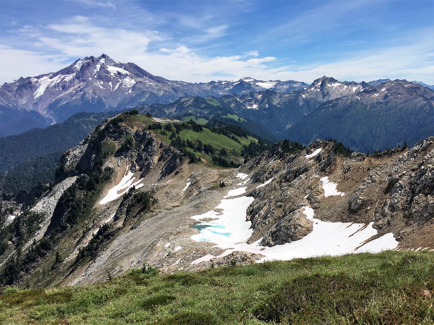
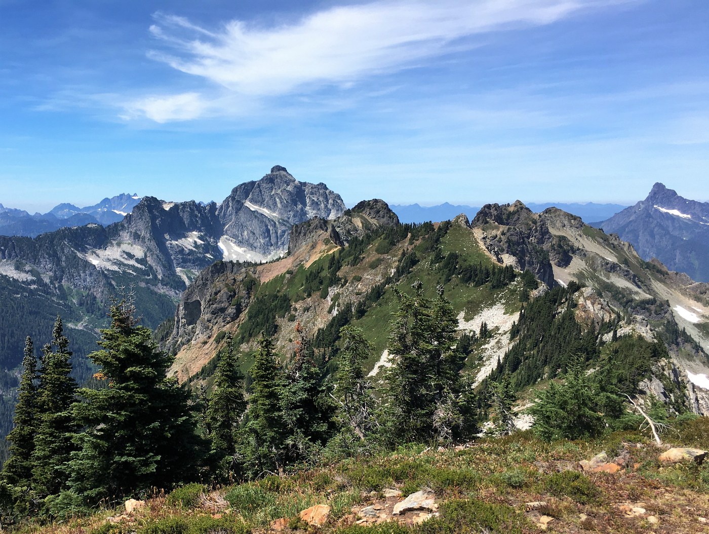
Breccia Peak has some excellent 360 degree views. Glacier, Sloan, Bedal, Pugh, and Whitechuck are all so close. Del Campo, Vesper, and Three Fingers are pretty close too. You could also see Baker, Shuskin, Eldorado, Bonanza, Stuart, Daniel, Hinman, among others!! So many peaks, so little time! Haha!! When I was on top of Breccia, I saw a lot of smoke coming from it appeared somewhere south of I90. Smoke was billowing up behind Hinman from my angle.
I tried to get over to Zi iob Peak but was pretty tired and did not feel like doing any scrambling while I was tired. I did try and it was not a simple walk over as I kept running into some areas with some dropoffs.
Taking my route up and down from Sunup Lake, I think is the easiest option. Nothing technical. This is a fantastic hike / adventure with the superb views. Lots of miles and elevation gain, but nothing technical. A meadows and daisies climb, just how I like it. The wildflowers were all past their prime. It must be a sight to see when they are in bloom. Definitely need to come back next year!!
12.4 miles with 5150 ft elevation gain
GPS track below


Comments