"The best laid schemes o' mice and men . . ." (Burns)
Our original plan was to hike the Eastside Loop--from the Owyhigh Lakes TH down through the Ohanapecosh area, up the Cowlitz Divide, and out through Summerland. It was our 30th anniversary and we wanted to do something spectacular. In April we snagged reservations at Deer Creek and Olallie camps, and hoped for a walk-up to Indian Bar or Summerland (about as likely as spotting a unicorn). What we were able to get was a third night back at Deer Creek, which was fine with us--especially after weather reports predicted 98 degrees in Ohanapecosh area for Thursday and Friday. Upshot: we hiked from Owyhigh Lakes TH to Olallie camp, then back down to the Stevens Canyon entrance, where we got a lift back to Owyhigh TH, thanks to the professional, excellent, people-friendly rangers at Rainier. Our RT hike was 22 miles, with two nights camping. Details on trail and camps follow.
Day 1: Trail from Owyhigh Lakes TH to Deer Creek: It had been a bit hard to get a sense of the specific elevation gains and terrain, but I cobbled together a pretty good idea between several WTA trip reports and our Green Trails map. A few more specifics for folks interested in this route: plenty of parking at Owyhigh Lakes on a mid-week morning at 7:45. The trail was cool and shady to just before Owyhigh lakes, elev. gain 1600 feet. The water near Tamanos camp (the stream we crossed on trail) was adequate for collecting water, but not a torrent. We decided to wait till further along, which I recommend unless needed. It was buggy up above the lakes, but not terrible. From there, the trail crosses several meadowlands, which I hadn't expected; I'd imagined the way to be all forest. The meadows were beautiful, with many lavender asters, bear grass, and a few paintbrush (magenta and harsh). The descent to Deer Creek camp is 2400 feet and was rougher terrain than the trail to Owyhigh--narrow for much of the way, steep, rocky, and brushy. Like hiking in general, it requires attention so as to avoid a stumble. En route to Owyhigh, we'd passed 5 hikers; here, we saw 4 people, all rangers clearing blowdowns and, they said, brush--though they hadn't started on that part yet. It took us three hours to go about 5.5 miles, but we also filtered water and ate snacks on the way. Water sources abounded! Plenty of excellent places to cool off and get water.
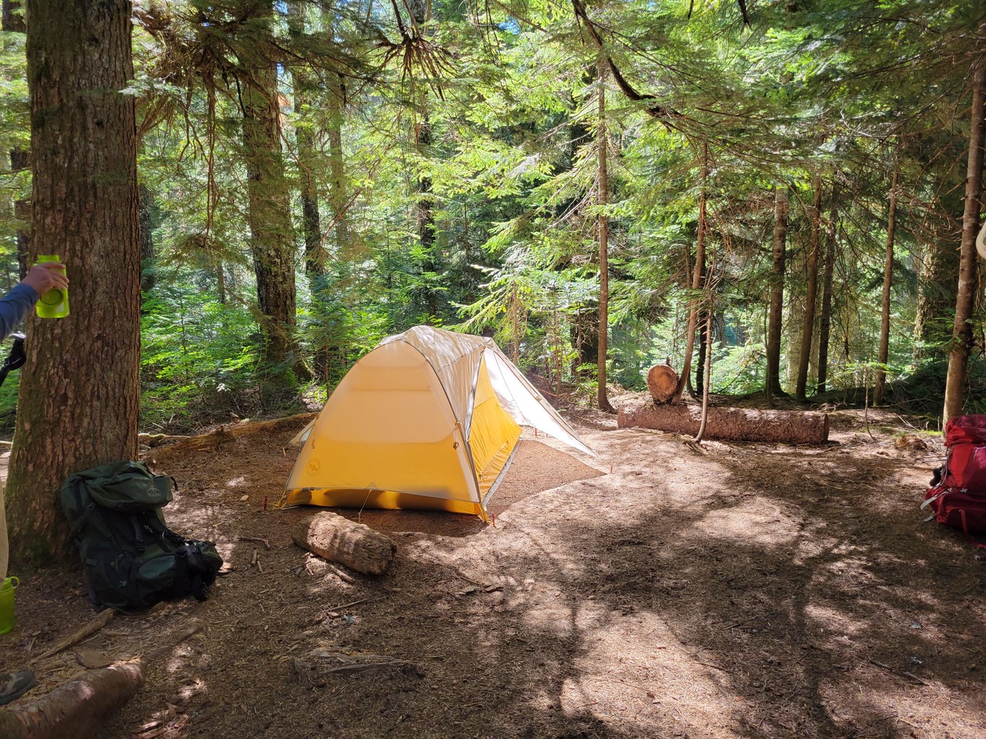
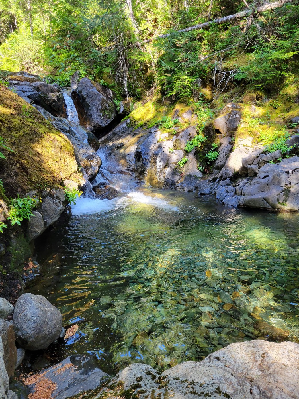
Deer Creek camp: a lovely camp! Two tidy spots and a good bear pole, toilet in reasonable proximity (not twenty miles from the sites; Olallie camp was crazy in this respect!). Signage approaching Deer Creek camp from the Owyhigh end needs to be added, IMHO. The only indication that the camp is ahead had been scratched on by hand, and looked, at first glance, to be either random scrapings or graffiti. So, continue following the trail towards Ohanapecosh, crossing a couple of bridges over big creeks, and a proper sign for Deer Creek camp will soon appear on your left. This camp is great for having ready access to water and places to submerge various appendages and articles of clothing in cool h2o. Pics attached.
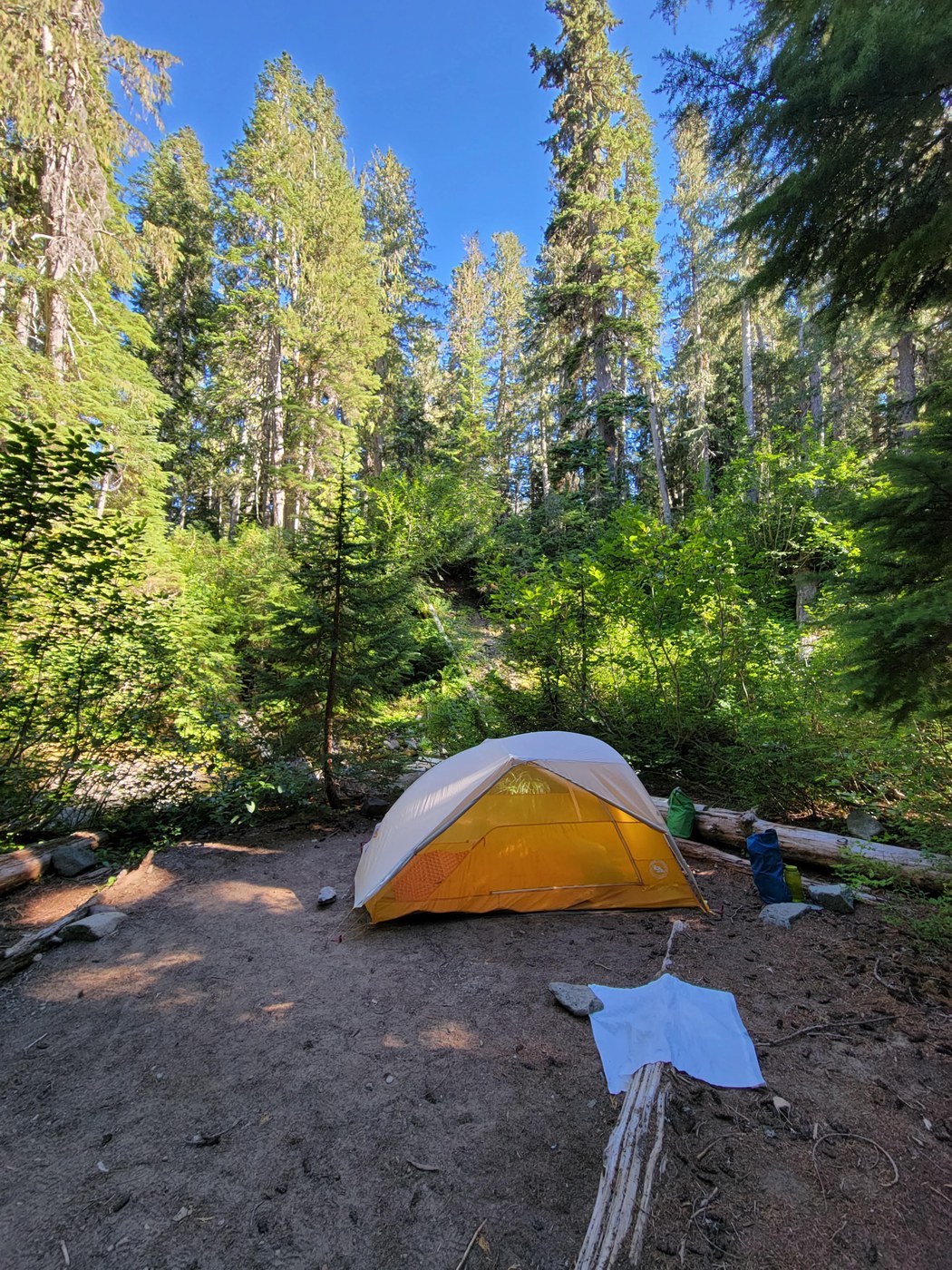
Day 2: Trail from Deer Creek to Olallie camp: from Deer Creek down to the Ohanapecosh area is nearly 7 miles of pleasant, gorgeous hiking. The way trundles mostly down, on a smooth trail. There were a few minor blowdowns. Again, several places to get water. About a half mile from the Grove of Patriarchs trail, we started seeing people. Probably about 30 folks. We forged ahead (hiking faster with full packs than the other folks, likely chilling on their first vacay in 1.5 years!), keeping an eye out for the cutoff to the Cowlitz Divide. Meanwhile, the wide, placid, pale aqua Ohanapecosh River flowed to our left. You cross Hwy. 123 twice, both easy, well-signed crossings. The first one brings you near the Stevens Canyon entrance to the park, which came in very handy (a godsend, actually) on our return. Anyway, arriving at the junction for the Cowlitz Divide, we cut off to start our ascent up to Ollalie camp. By now, the temperature was jacking up. We'd hit the trail at 7 a.m. to get ahead of the heat, but it started catching up. It's about 1600 or 1700 feet up to the camp, steep in places. And buggy!!! We were both in long pants, Edelman in a long-sleeved shirt, but we were hatless (doing everything we could to stay cool). The trail is in the woods, though not deep woods (i.e., cooler). We did the 3-mile ascent (from the bottom) in about 1.5 hours, arriving in camp at 12:20. Olallie camp is rougher than Deer Creek. We took one of two single-occupancy sites (there's also a group site) along the creek. The site was rather uneven, but we found a place that was flat enough to set our tent. It was nice in that it was right by the creek, so there was easy access to water and a cooling area. However, sun blazed into our campsite for three hours before it grew shady enough to set up our tent, and the bear pole area was likewise bathed in direct beams. We alternated between lying prone or sitting in whatever patches of shade were near, food sacks by our side, till it "cooled down" enough to kick into gear. I don't know how hot it was either day, but it had to be in the mid-80's, at least--even at 4000 feet at Olallie. Lots of black flies at Olallie in the afternoon, though they didn't bite. Still, we both remained covered up and wearing bug nets over our heads to avoid going insane. As I lay idly, I pondered such things as they possibility of designing an ultra light weight, practically sheer shirt that also repelled bugs. After setting up our tent, we waited till about 7 pm to hang our food bags. The camp was full by this time. A group of 5 lay as we had, prone atop their pads at their site. Likely Wonderland people who'd had to improvise with this site.
Day 3: Leaving Olallie camp: Not to enter TMI territory, but I have a suite of conditions that converge literally every time we do a multi-night backpack. And, of course, do what I might to try and eradicate this doggone frustrating reality, it rears its head every time. I'd warded it off till about the evening before, when the first symptoms appeared: dry mouth, headache, loss of appetite, mild nausea. These are the symptoms of heat stroke, too, but it's also what always emerges. By the a.m., I had to choke down my muesli, forcing myself to eat. Any type of food feels like eating paper when I reach that point. After deconstructing our camp, we headed back down, on our way to night #3 at Deer Creek again, then back out to Owyhigh the next day. About 1/2 a mile short of the Stevens Canyon entrance, we stopped to filter more water (we'd been drinking plenty, btw; I wasn't dehydrated), and my husband of 30 years took my entire food bag (2 or 3 lbs.) and offered to take all my clothes out of my pack. We soaked our shirts in the cold stream and put them on, too, to cool down. I was feeling increasingly unwell by this time. And by now it was clear that forest fire smoke was descending heavily on the area. After about 15 minutes more of hiking, we reached the Stevens Canyon entrance, where I could use the bathroom and weigh how I felt. We both concluded that we should not continue on to Deer Creek (another 7 miles, then to set up camp and spend the day in the heat and smoke, hiking out the next day for 8.3 miles, including up 2400 feet to Tamanos). We decided to hitch-hike to the White River entrance and walk to Owyhigh TH from there (about 2 miles). Edelman spotted the entrance booth down the road, which we hadn't noticed on the way in, and suggested we at least ask if there were any rangers heading that way today; maybe we could cop a ride. This was providential. The ranger we talked to asked me a series of questions about our hike and the circumstances, and called dispatch to see if any rangers would be in the area and heading that direction. And there was. About an hour later, a law enforcement ranger gave us a list all the way back to our car.
I have nothing but gratitude and respect for the MRNP rangers. The woman at the Stevens entrance and the young male ranger who drove us back to White River were consummate professionals (and very friendly in the process), observant, and detail-oriented. On our ride, we had quite the conversation--about the increasing frequency and intensity of wildfires in the state and about how many people they rescue and help on a daily basis. He said that we'd been right to stop when we had, that too often people push themselves and rangers end up having to go on a search and rescue mission.
Although our trip was cut a bit short, it was a good one for several reasons. First, we enjoyed the first couple of days--as always, the park is stunning in every aspect (well, except when smoke threatens the plant and animal life that lives there). But more importantly, I finally understand that I am not constitutionally able to do multi-day backpacks. My system can't handle it; it is unsafe and unfair to others (my husband and the rangers). On a day hike, I'm a regular (old) mountain goat, and I can hike in to one place and do day hikes form there. But my fantasies of doing the Wonderland someday, I must put to rest. Be safe out there, and happy hiking!


Comments
Thanks for the detailed report. A great reality check as my partner is itching to do multi-nights as well. Do you use add electrolytes to your water? I find they are really helpful even on shorter day hikes, although I also avoid strenuous heat/smoke hiking now I'm older.
Posted by:
Hikeswith3 on Aug 13, 2021 10:46 AM
You're so welcome! I do use electrolytes--Nuun tablets. I also hydrate very well and try to eat as well as I can along the way--nutrient and protein rich stuff: Clif bars, turkey jerky, banana chips, camp meals, etc. I'm small (102 lbs., 5'2"), but pretty dang fit re: day hikes. I just have this combo of issues: highish A1C, super low blood pressure, and Gilbert's Syndrome. Nothing serious alone, but the combo seems to kick in during sustained strenuous activity.I'm 60. One thing I will say,is that it's scary to be out in the wilderness and feel that your strength is leaving you. It can happen quickly. One strategy might be to make sire that your car is within about 5 or 7 miles on multi-night hikes (maybe use two cars? We only have one vehicle, so can't really do this, but you may have two). That way, you can always hike out. We were about 16 challenging miles from our car . . . with smoke and excessive heat. Yet even w/o these last two factors, I would have wanted to bale. Best wishes to you and your partner!
Posted by:
bentley-edelman on Aug 13, 2021 11:11 AM
Great recap. I'm glad things turned out all right for you both. SR
Posted by:
stever on Aug 13, 2021 12:21 PM
Thank you very much! I'm grateful for and super impressed by the MRNP rangers. They do incredible work, in so many ways. The one who drove us back to our car said that every season they rotate out from their shifts at the park to help fight fires in the state (many of them are certified to fight fires, he said).
Posted by:
bentley-edelman on Aug 13, 2021 02:01 PM
Great report- I always appreciate your reports. I am hoping to do this loop next week. I am sorry about your circumstances and hope you recovered quickly.
Posted by:
WifeHusbandPuppy on Aug 13, 2022 05:03 PM
Thanks so much. I did recover quickly, just too much heat and smoke on top of my (irritating!) physical realities. I look forward to reading your report on this loop! I hope you have a fantastic time. Indian Bar is magical (we made it there on subsequent day hike). Edelman and I are headed to Rainier in about 2 weeks to do a section if the Northern Loop. Hoping the weather will be mild for our adventure!
Posted by:
bentley-edelman on Aug 15, 2022 07:57 PM
Thanks for your trip report. I am new to Washington trails (moved here from western Oregon this last summer). Can you please tell me what map I would use to follow your path? Also, you mention "snagging" nights here and there. Are you saying that I'd have to apply online (or in person) for permits? There has been little of that in Oregon, although I think the Sisters Loop now requires a permit at one area.
Posted by:
KimberlyG on May 23, 2023 10:00 AM
Hi KimberlyG,
So about campsites, yes, you do need reservations! You reserve sites through the Recreation.gov website, and the camps for the East Side Loop are Tamanos, Deer Creek, Olallie, Indian Bar and Summerland. I'd recommend three nights, choosing camps that are nicely spaced. The challenge is finding available sites to reserve, as at his point, many are already taken. However, people do cancel, and sometimes you can 'snag' a site if you keep an eye on sites opening up due to cancellations. The Park posts openings when they occur. You cannot camp without a permit in MRNP. About maps, we use Green Trails maps, which you can get at any REI. We used two for the are, because they overlap. Staff at the store can help you--or you can look at the guide right there and figure it out by finding the area. I promise it's not too hard! Good luck and have fun! Rainier is AMAZING!
Posted by:
bentley-edelman on May 23, 2023 11:12 AM