Headed out for my first time on this trail on a Saturday with rain in the forecast.
Note that the driving directions on this WTA site as well as the guidebook that I was following - Day Hike! Olympic Peninsula (Camp Handy entry) along with many unmarked Forest Service roads made the drive out and back from the trailhead a little bit confusing.
Fortunately, on the way out, there are large signs at most of the key junctions to point you in the correct direction. But note your choice of direction as on the way back, you may end up coming out a different road from which you started. First note that the directions here have you take the Palo Alto road. This is fine but if you are coming from the South, it will save you some mileage to take a left on Louella across from Sequim Bay State Park which then connects up to Palo Alto road.
The guidebook says that it turns into FR28 and then after a combined 5.7 miles, will have you take a right on FR2880. You'll head down a steep one lane gravel road and eventually cross the Dungeness River and pass the Dungeness Forks Campground on the right. You'll see a sign eventually when you reach FR2870 to go left. It is here when returning that the road will point you to go left on the way back to HWY 101. This will take you back a different way than you came in - past the Gray Wolf trailhead and eventually out the Lost Mountain road which drops you straight down to Sequim. I took this way and wanted to see the road on this side and also wanted to return to Sequim so no love lost here.
But continuing on towards the trailhead, the guidebook says you will also make an eventual turn on FR2860 (probably the right at the Y mentioned here) but it seemed to me that one takes FR2870 all the way out to the trailhead. The road is under maintenance and while there were no potholes, the road crew is putting down some larger sized gravel which makes the road a bit gnarly in spots.
Upon arriving at the trailhead, there is immediate parking on the left for about 14 cars. I parked here while also noticing that the road continued on with maybe additional parking. I checked this out after the hike and noted that there is indeed a HUGE parking lot just that further bit down the road and that is also where the pit toilet is located. These trails here obviously get a lot of use and are really popular thus the large parking lot. And this trail is also ok for horses (I did see a couple spots of horse poop along the trail but did not see any horses). The final bit of confusion is that this hike is numbered 833.2. I have never seen a trail noted as such so don't be thrown by the larger 833 sign near the trailhead. I will leave it to the reader to figure out the additional "dot" trails in the area.
Anyhow, I left Sequim at about 10AM and arrived at the trailhead at 11AM.
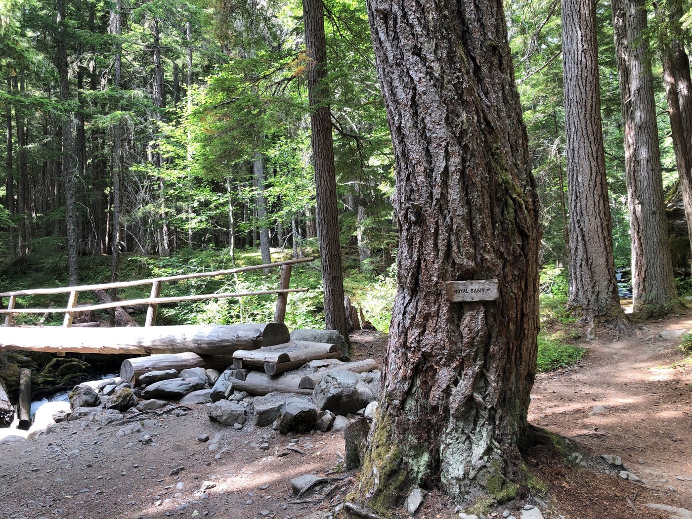
The hike is a really nice wander as it parallels the river most of the way with large trees keeping you company on your way up. There are many rhododendron bushes on the way up so this must be a colorful hike in the springtime. At one mile in, come to a large log bridge crossing Royal Creek. There are many nice campsites in this area although no campers when I was there. Another 2.4 miles and you will reach the Camp Handy shelter. There is a fork in the trail here and I first took the lower fork that met up with the top trail a bit further. One looks down from the trail to the shelter a bit after this - continue on a bit more and there is a way down with large steps.
The Camp Handy site is large and also has access across a small meadow to the river. Nobody was camping when I arrived but another hiking couple arrived when I was eating lunch. It was a bit breezy out and I encountered no bugs. I only met two other hikers on the way up: one a bear hunter who was making his last trip out after a successful hunting trip and the other a couple from Eastern Washington looking for a reprieve from forest fire smoke. On the way down, I passed about eight hiking parties, many with backpacks. And only towards the end of the trip did some very light raindrops fall. It was a pretty warm hike as the whole way I was in a short sleeve hiking shirt.


Comments