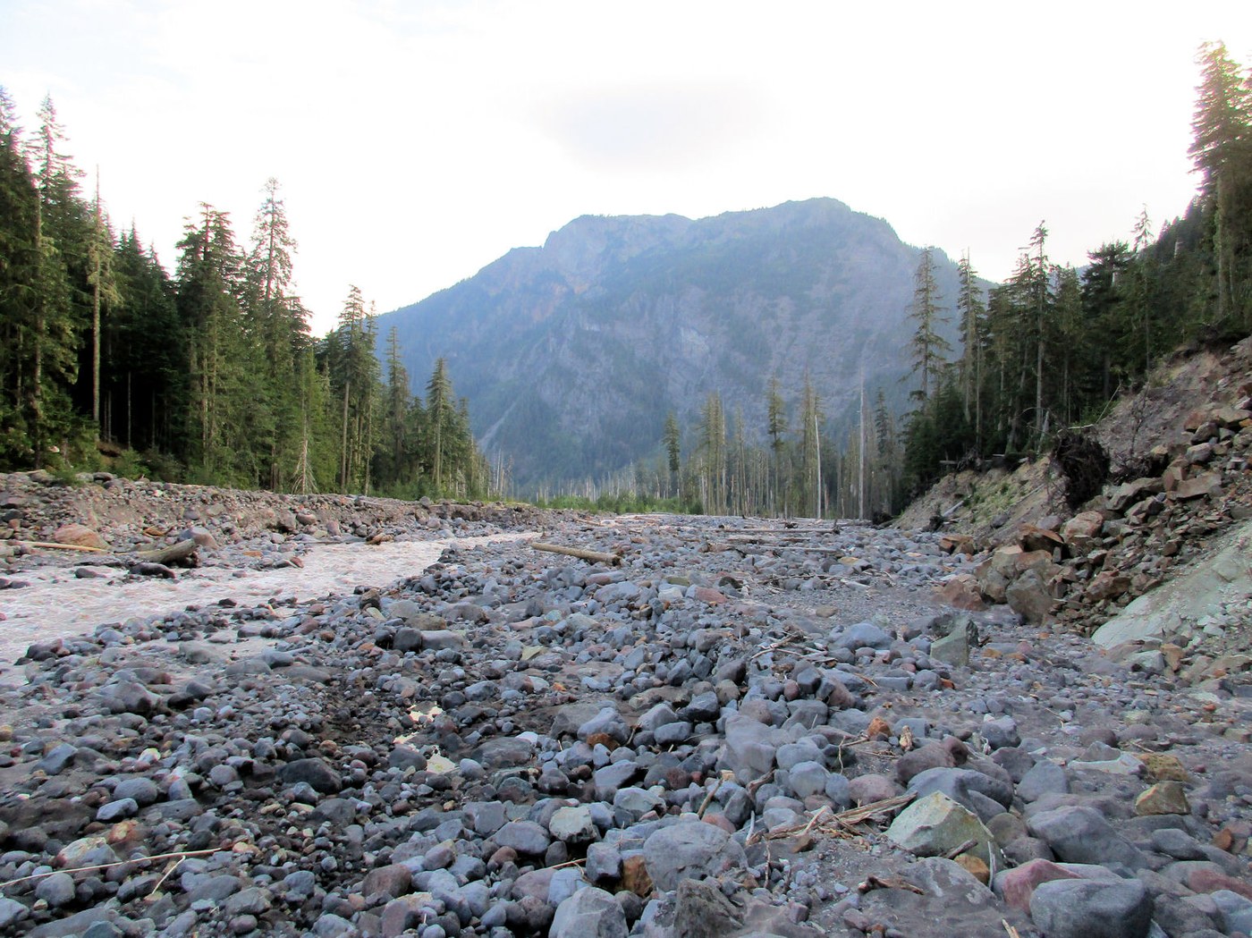
So here I am 8pm on the Westside road walking 2.6 miles back to round pass to get my bike that I left to "save time" getting back to the van. I am literally the last person on the road for today. This wasn't the plan. The original plan was to park at the end of the Westside road, walk a bike to Round pass, hike the South Puyallup trail, hook up to the Wonderland trail, see the mountain at the Emerald Ridge vista point and then drop down to Indian Henry's. From there, it would be a reverse hike back to bike and an easy 15 minutes of coasting back to the van.
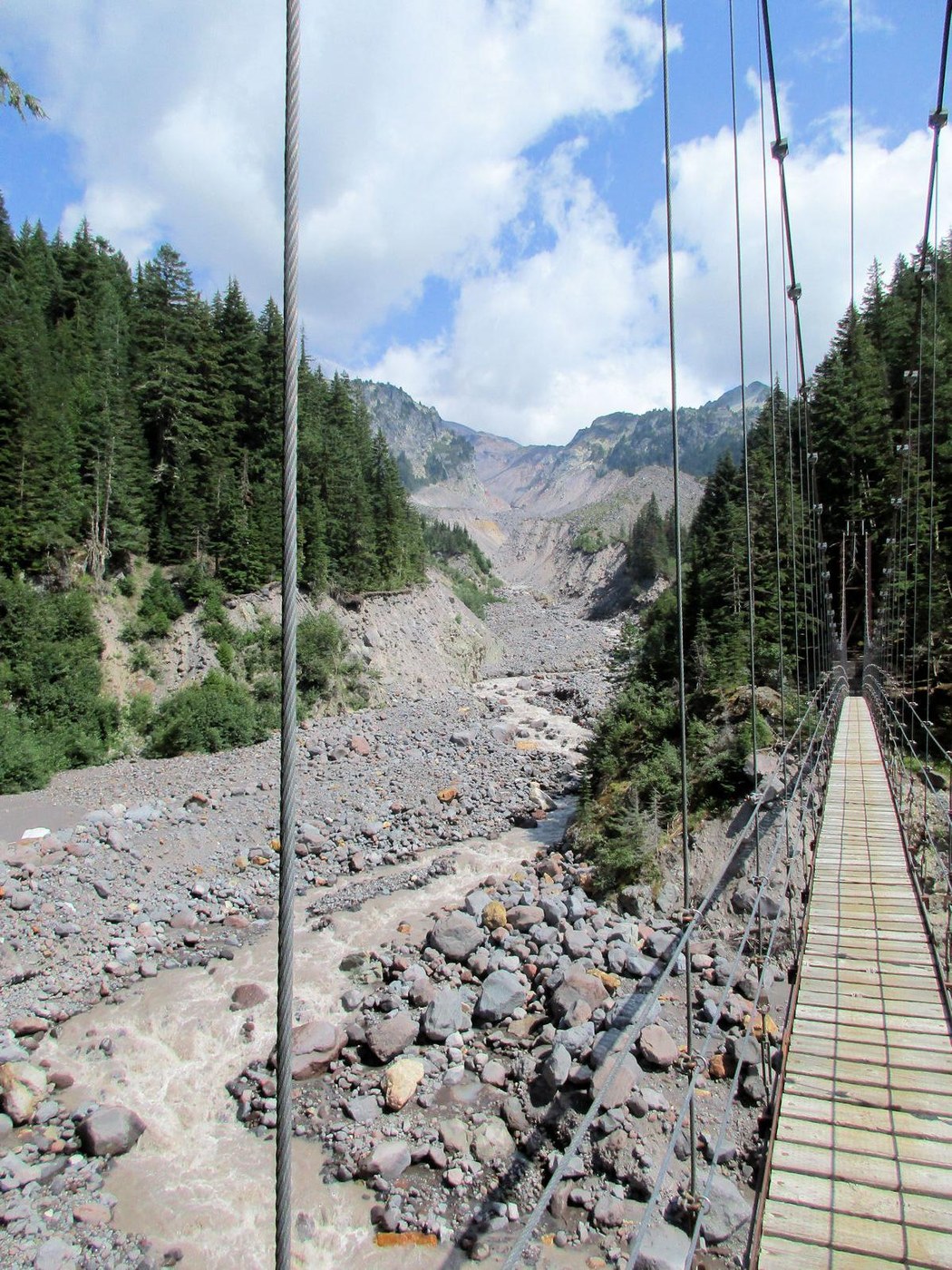
I walked the bike to Round pass. Had to lock it up at the Gobbler's Knob trailhead (there's no bike rack for the trail I'm taking). The map calls this the Round pass trail. It drops down to the South Puyallup trail. The trail is in very good condition which is weird since the only access to the trail is either by bike or hiking so limited use. I was the only person on the Puyallup trail up to the Wonderland. How do I know this? It's from the amount of spider webs I collected on my person and trekking poles. While on the Wonderland, it was busy. I ended up bumping into at least 30 people during the day all friendly and talkative. Most of the time people just blow by you with a quick grunt of hi or just a head nod. Saw the crazy basalt columns near the Puyallup campground before moving on to Emerald Ridge. Most the hike is under cover, so no sunscreen yet. Once you round the corner on the ridge, you are out in the open and the mountain is in full force and spectacular. Easily one of the top 3 views of the mountain in the park. Plenty of places to sit down and picnic while hearing the distant cracking of the glaciers. Now it's off to the Indian Henry patrol cabin. The trail starts getting annoying at this point. A few flat easy spots followed by an endless run of walking over medium fist sized rocks (very hard on the ankles). Once you start hearing the roar of the river, you know you are close to the suspension bridge. I can see how some people would be freaked out on a moving bridge 70(?) feet in the air. Every step you take it moves up & down and with every left /right step it also moves side to side. Very unnerving. Got to the patrol cabin. I missed the flower show by a couple of weeks. Even though I was bumping into hikers right and left, I was to only person at the cabin for the hour I was there.


Comments
rkjenner on South Puyallup Trail, Wonderland Trail, Tahoma Creek Suspension Bridge - Emerald Ridge Loop
You tell a good story!
Posted by:
rkjenner on Aug 25, 2021 05:23 AM
DayHiker50 on South Puyallup Trail, Wonderland Trail, Tahoma Creek Suspension Bridge - Emerald Ridge Loop
Thanks! It seems the last 1/2 dozen hikes at Rainier have been all day ordeals. I'm trying to day hike all the trails in the park and I'm down to stuff on the west & north side which is less accessible.
Posted by:
DayHiker50 on Aug 25, 2021 11:29 PM