*** THIS WAS A BIKE RIDE, NOT A HIKE ***
*** THIS REPORT PERTAINS ONLY TO THE WESTERN SEGMENT OF THE TRAIL . . . WEST OF THE SAMMAMISH RIVER VALLEY ***
I have biked the eastern portion of the Tolt Pipeline Trail many times, from the Sammamish River Trail to its eastern terminus in Duvall; that ride has a lot of up-and-down, including the infamous "cardiac hill" climbing out of the Woodinville wine district. But, I have always been curious about the lesser-known western portion, heading west out of the Sammamish River Valley to its western terminus in Bothell. So I wanted to cross that off my list, so I rode it from east (Sammamish River Valley) to west (Bothell).
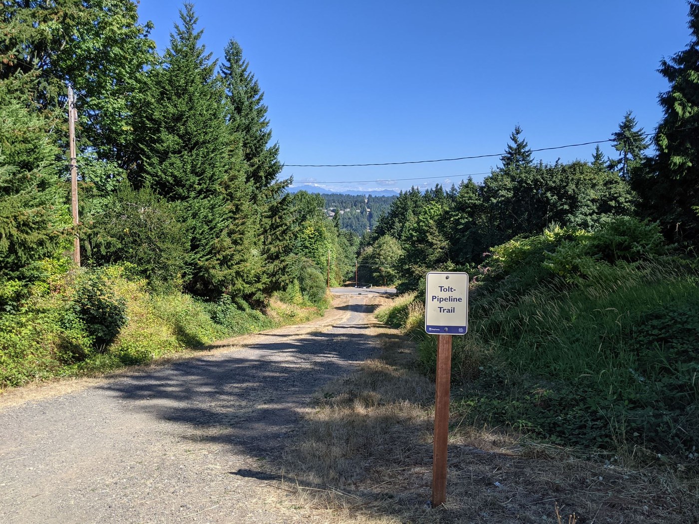
The western segment of the Tolt Pipeline Trail begins unceremoniously at Woodinville-Redmond Road (i.e., this is the eastern endpoint of the western segment of the trail). There is no trailhead parking; the nearest public parking is near the sports fields north of 145th St just east of the Sammamish River, or you could "cheat" and park at one of the nearby wineries.
Heading west, you'll climb a ridge at an angle that may exceed the threshold of most bicyclists' tolerance especially given that it is an earthen trail (it's about 330 feet of elevation gain in a half mile, approximately a 13% grade). There's a brief leveling out, then one more climb, slightly less steep and shorter in duration but still challenging.
Continuing west, you'll eventually cross a powerline corridor running north-south (perpendicular to the Tolt trail), and then the trail will mercifully level out for a while. You'll skirt the south perimeter of Bothell's East Norway Hill Park. Eventually you'll reach I-405 and you'll need to detour about 1/4 mile north to cross 405 at the NE 160th St interchange. Use caution in so doing.
Other than getting across I-405, the other road crossings along the trail are generally not challenging or problematic.
Cross over 405 and then, with no visible roadside signage directing you to the resumption of the trail, use the powerlines that parallel the trail to guide you to the the trail, accessed via the parking lot of a multifamily residential complex. At this point, there's only 3/5 of a mile remaining to the western end of the trail . . . but it requires yet another climb, and because this portion of the trail is loose sand and rocks, so you'll probably have to walk your bike up this last hill.
The western end of the trail is at an overlook of Bothell through of a clearing for powerlines; there is a small bench. The clear cut for the powerlines is narrow; that and the presence of the powerlines makes it "not scenic". There is a "boot trail" that follows the powerlines down the steep hill to Blythe Park, but this is of "double diamond" steepness and I would not recommend it.
Having made it to the western terminus of the trail, I would suggest returning not by the trail but instead by heading north on 104th Avenue (just 200 feet east of the trail's western terminus), then work your way east down a winding hill to 112th Avenue (look at a map). You can turn north on 112th Avenue and eventually find your way to the (mercifully paved and flat) Sammamish River Trail for your return trip; beware that 112th Ave is a narrow, winding two-lane road with no bike lane and little shoulder, but it's all downhill so you'll get through it quickly.
Overall evaluation of this trail: lots of up, up, up (if you're going east to west; if you're going west to east, it'll be a lot of down-down-down, but not of the pleasant kind). Surface is earthen and/or rough gravel, it is dusty in summer, and I suspect muddy and mushy in winter. Ugly powerlines along most of the length of the trail detract from the experience. Frankly I was happy to try it once to "cross it off my list", but will not likely return anytime soon.


Comments