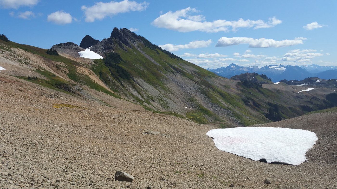
This is a report about 6 day-hikes while camping at Douglas Fir campground just past Glacier on Hwy 542 from Aug. 29 – Sept. 3. The Glacier Service Center posts updated road and trail conditions. Berries were abundant, some flowers still blooming, and fall colors starting to come out. No smoke until the last day.
Aug. 29 – Heliotrope Ridge
Road: Although there are a few spots of good pavement, it’s really breaking up with some large potholes and edges falling away. My Civic made it fine with cautious driving. Route: After the 2nd crossing, we headed up the climber’s trail (junction is signed). I’ve done both the trail out to the glacier overlook and the climber’s trail, and think the climber’s route is more spectacular. We had a panorama of waterfalls to watch as they poured off leading edges of the glaciers. Thank you WTA work party for the trail work. It's looking great!
Aug. 30 – Tarns below Yellow Aster Butte
Road: Unpaved, but not a problem. Route: The trail to the base of Yellow Aster Butte is in good shape. From a previous trip up the butte, we’d seen and wanted to explore the tarns. We couldn’t see the tarns when we got to the bottom of the final ascent up the butte, but followed a way trail down where we thought the trail should be. We didn’t have to cross snow, but earlier in the year or in different conditions, there would likely be snow in that basin. When the clouds lifted, we saw what was likely more of a trail heading down to the tarns.
Aug. 31 – Horseshoe Bend and Waken Bakery
It was raining, so had excellent veggie burritos at the Wake 'N Bakery in Glacier a block off the highway. The trail starts from a pull-out along Hwy 542 just after it crosses the Nooksack River, or from the end of the Douglas Fir Campground. Route: Beautiful rainforest walk. Some downed trees after about a mile or so. Easy to climb or step over.
Sept. 1 – Goat Mt.
Road: Unpaved but in really good shape. Route: Good trail up to the knoll at about 3.75 miles and 5100’ elevation as described by Craig Romano in his Day hking: N. Cascades book. Once the trail starts across the upper meadow, it was thin, covered with meadow brush, and loose in spots. We saw a few others going up it, but we opted for sitting on the knoll with views of Mt. Sefrit and Mt. Shuksan. We passed a hunter who said Goat Mt. can be a popular bear hunting location.
Sept. 2 – Ptarmigan Ridge
Road: Paved. Route: Good trail conditions, snow in a few places, but not steep and easily crossed. Lots of hikers on Th. before Labor Day. There’s a climber’s trail that continues beyond Camp Kiser for another mile or so. It’s exposed but felt relatively solid. We saw blueberry bear scat in a couple places.
Sept. 3 – Lake Ann and base of Fisher Chimneys climbing route
Road: Paved, Route: Good trail conditions, some mud, no snow. We saw more blueberry bear scat, but no bears. From the saddle above Lake Ann and Shuksan, we followed the climber’s trail through the basin, up and then across the slope toward the rock buttress that is the start of the Fisher Chimneys climbing route. Another hiker followed it down from there to the Lower Curtis Glacier. He said he had to be pretty careful in a couple spots. Romano says it’s ¾ of a mile, but felt a bit longer.


Comments