
Hiked on Sunday (9/5) from the TH at Snoqualmie Pass to Ridge Lake, which is about 1 mile past the Katwalk.
The parking lot was full by the time I got there at 10:20am, so I found parking out on the road.
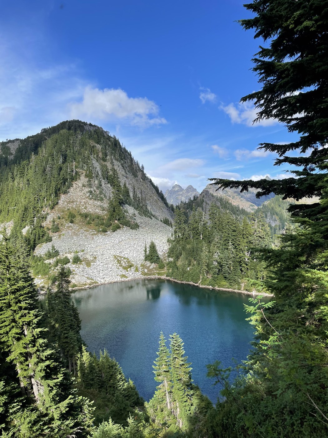
It was about 6.6 miles to the first TH that leads down to the lake (there was a sign that says Camp Loop, or something like that). You can continue a little further to another trail that goes down to the same lake (and it goes around if you want to do a loop to tack on extra miles). Had lunch at Ridge Lake then headed back to the TH at Snoqualmie Pass.
My watch died at 14 miles, but paired with my Garmin to guess the last bit, it was about 15.6 miles total. That does, however, also include all my side trips to pee >_<
TRAIL
Navigation tip: The WTA description says stay right at the T by the picnic table and in another 100 feet pass an overgrown trail on the left. This was very misleading, because as you approach the T, there is a trail to the right, walking away from the picnic table that takes you back out to the freeway. So When you get to the T, go left to pass the picnic table (which will be on your right-hand side once you turn toward it, and there will be a giant avalanche warning sign on the left). The overgrown Commonwealth trail is so overgrown that I didn't even see it, which is why I took the wrong trail at first. The overgrown trail is to left of the avalanche sign. Shortly after following the correct trail, there will be another fork. There will be a wooden sign post with nothing on it to the left. You want to turn right. The rest of the trail isn't too tricky, and I had cell service almost the whole time.
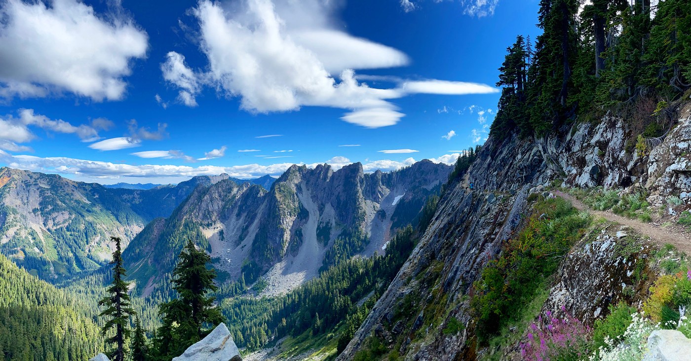
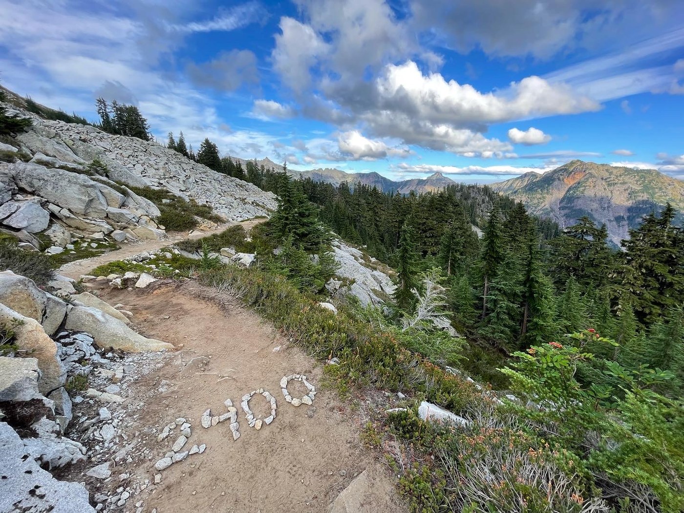
A few talus fields and occasional tree roots, but nothing really obstructing the trail. Long hike but elevation gain was super gradual. There’s a ridge that at first I thought was the Katwalk, then a second just past, which were both underwhelming, but then the third was the actual Katwalk, which I enjoyed. The views along the way make the whole trip well worth it.
BUGS
Bugs weren’t an issue. I never encountered the bees that seemed to be an issue in previous posts. I went the whole time without bug spray. They started to come out more in the evening and I found two mosquito bites on me the next day, but I never really noticed them during the hike.
More pikas than I've ever seen before though! It was delightful. Saw a few building their nests too, preparing for fall and winter :)
WATER
A good water source from a small stream approx. 3.6 miles out from the TH.
Just a few months ago there was a second great water source a few more miles past this, coming from a huge waterfall higher up on the mountain, but surprisingly it was all dried out. So the next water source after the one at 3.6 will be all the way at Ridge Lake.
While at Ridge Lake, I talked to a SOBO thru/section hiker who said the next water source isn’t for 7 more miles, so I guess keep that in mind if you are planning to go beyond Ridge Lake.

Comments
ngie on Kendall Katwalk, Gravel Lake - Ridge Lake, Pacific Crest Trail (PCT) Section J - Snoqualmie Pass to Stevens Pass
Yeah. The next solid water source without bushwhacking is Park Lakes, pretty much :/.
Posted by:
ngie on Sep 07, 2021 11:12 PM
Caitlin Renteria on Kendall Katwalk, Gravel Lake - Ridge Lake, Pacific Crest Trail (PCT) Section J - Snoqualmie Pass to Stevens Pass
That's good to know, thanks! I'm hoping I can push myself a bit further next time, so knowing where the water sources are is super helpful!
Posted by:
Caitlin Renteria on Sep 08, 2021 10:38 AM