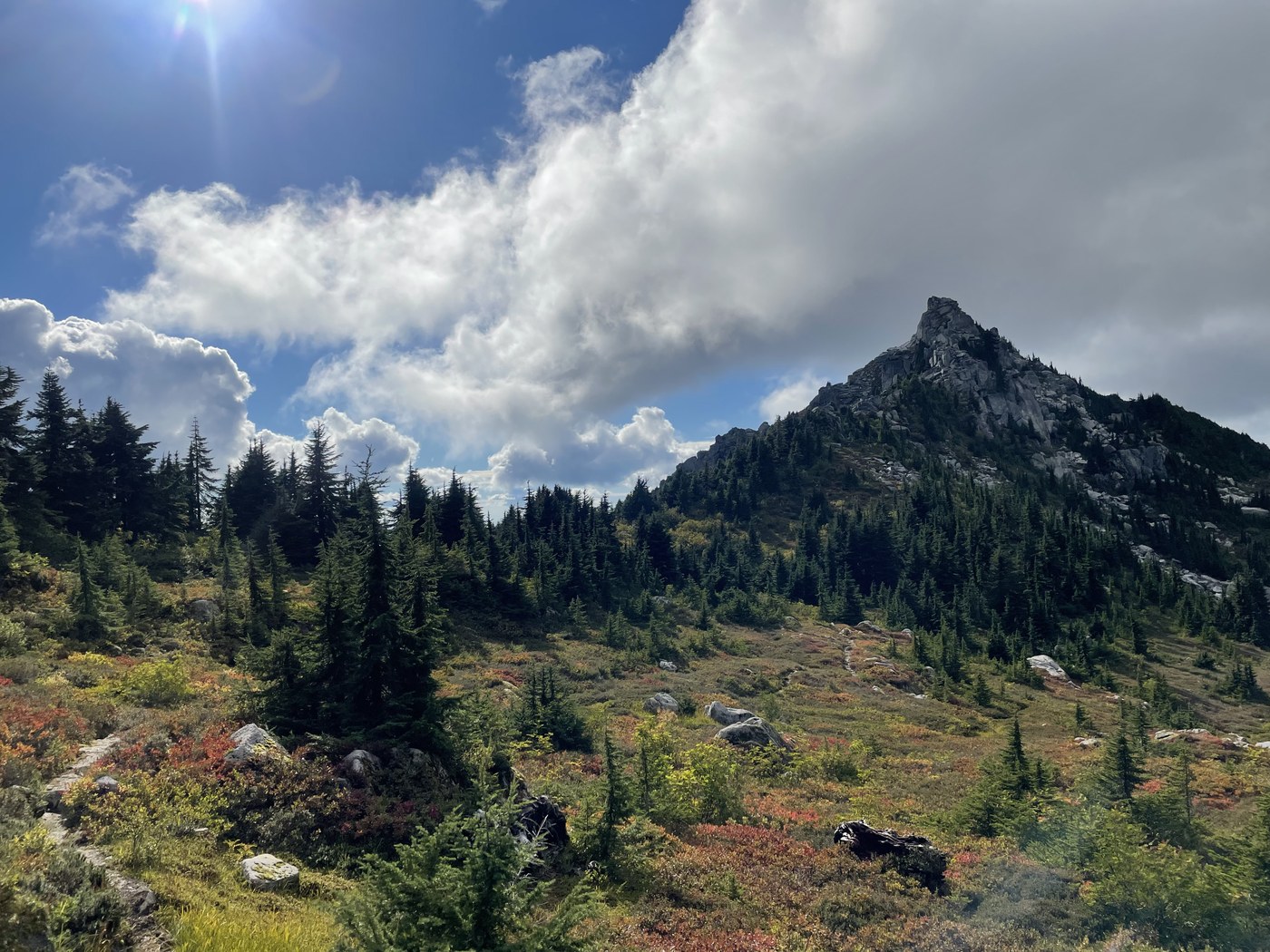
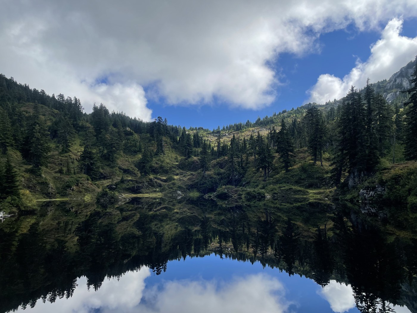
Embarrassing admission… I’ve been overlooking this trail for years because I thought it was the same as the Cutthroat Lakes in the North Cascades… 🤦🏻♂️ We really need to rename or at least number some of these hikes! Lol.
Anyway, had an awesome day going up to Cutthroat Lakes then summiting Bald Mountain!
Road: Actually really good?!? It’s narrow in spots but no traumatic potholes for my sedan. The trailhead doesn’t really have much room for parking.. it pretty much just starts at the end of the road and there isn’t even a pullout. Parking is on the side of the road but it’s narrow. I think turning around here would be stressful on a busy day but thankfully I went on a Monday and there was only one car. I passed the owners of the car about a mile in and otherwise I was alone all day!
Facilities: none at the trailhead and one almost full to the brim portable toilet at Lower Cutthroat Lake. I recommend using the portables at the Verlot ranger station or one of the toilets at one of the more developed trailheads on the way in. 😬
Trail: Fairly steep, but honestly it’s not the steepness that got to me so much as the slickness! After a rainy weekend I encountered water flowing down the trail, mud, slippery rocks and roots.. I was mostly ok in waterproof hiking boots with decent grip and hiking poles but I did have two minor falls.. one of which got my butt wet through to my underwear. 😂 Trail was otherwise in good condition to the lakes, just bear in mind that it’s steep and slippery when wet. Past the lakes the trail is not maintained and is quite overgrown in spots with blueberry bushes. I didn’t find it terribly difficult to follow, but the bushes got my pants pretty wet! Bald Mountain ends in a fun/light scramble.. easier in my opinion than Mcclellan Butte or the Haystack at Mount Si. The views of Spada Lake from Bald Mountain were awesome! Well worth the extra effort, even though I had to almost run back down to make it in time for my evening plans.


Comments
vikr on Cutthroat Lakes via Walt Bailey Trail, Bald Mountain via Ashland Lakes
Could you share your path to bald mountain? is the photo of spade lake from the bald mountain east peak?
https://caltopo.com/m/4H8E0
Posted by:
vikr on Sep 21, 2021 12:38 PM
Birb on Cutthroat Lakes via Walt Bailey Trail, Bald Mountain via Ashland Lakes
Actually the route you linked to is pretty much exactly what I did. Where the "trail" cuts out on caltopo is exactly where the scramble starts to the left, and I just scrambled up the easiest path I could find until I saw the US geological survey marker at the top. You can get a pretty nice view of Spada Lake below the actual peak, though.
Posted by:
Birb on Sep 21, 2021 01:04 PM