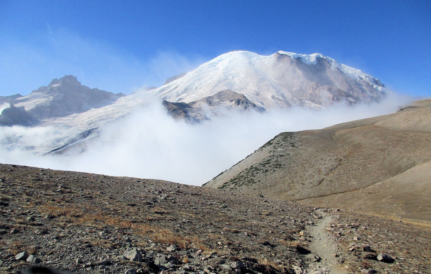
Decided to do the Glacier Basin trail on vacation. I'm trying to day hike all the trails in the park and I'm 85%+ done. Nothing really new to report on a trail that is so heavily traveled. You know it's a popular trail when huge sections of it are 8 feet wide and totally smooth. I had to take the side trail to Burroughs to check it off the list. Lots of elk activity in the area. Smashed vegetation, hoof prints and mini trails everywhere. They tell us all the time "leave no trace" but the elk just steamroll everything. Got out of the tree line and into the open. Temps were in the 50's and comfortable as long as you kept moving. The closer you got to the Burroughs ridgeline, the colder it got. Winds were really blowing (25-30mph?) and the chill factor made it seem like in the 20's. I turned around and found a windless spot just below the ridge for a quiet lunch in the shadow of the mountain.
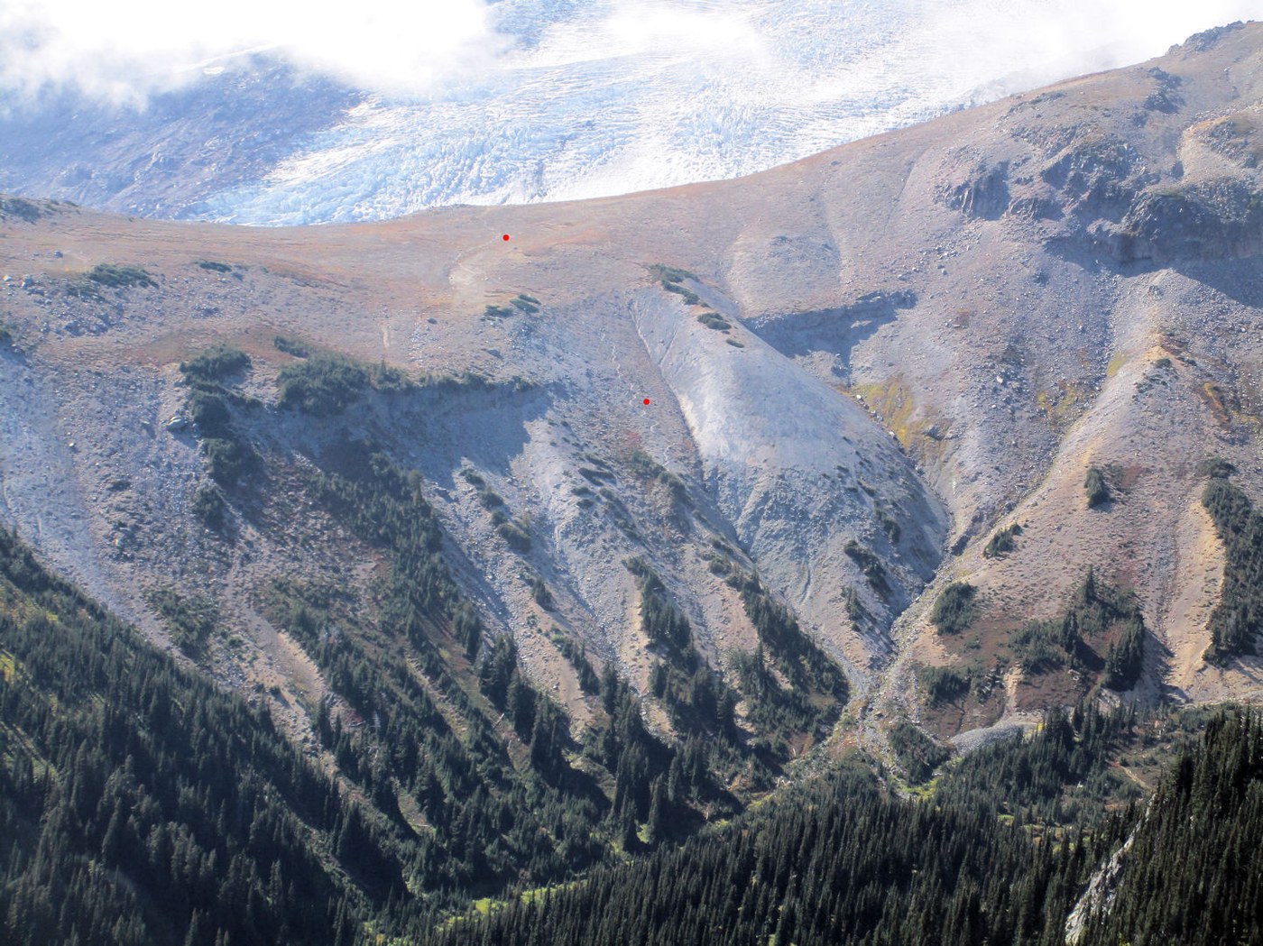
Now onwards to Glacial Basin. Once you get into the basin, you are surrounded on three sides. There didn't seem to be many places to hang out here. I was thinking that the popularity of the trail would make it a candidate for picnic benches. With binoculars, I noticed what I assume was the trail to Camp Schurman zig-zaging its way out of the basin. I might try that next year. After a nice rest, I hoofed it back to the Emmons Moraine trail. On the way there, I ran across a dozen teens on a overnight camping trip at the basin. As I was coming down, they all in unison stepped aside to let me pass. I felt like a king and gave them a royal wave and told them to "carry on".


Comments