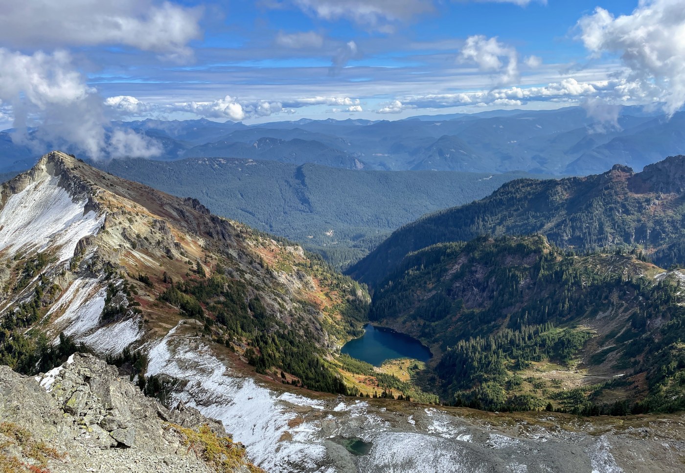
Inspired by a good weather window that materialized on Friday, Ron and I squeezed in one more ambitious hike for the season. The waning days of Fall were losing ever more daylight and that motivated us to get an early start to maximize our chances for success. Starting from the North Tatoosh trailhead (#161), we hiked 2-1/2 miles past the only water source we saw all day, flowing down the mountain at around 5200 feet. After 1-1/2 hours of relentless uphill hiking, we arrived at a spot we call the Big Log which sits at 5400 feet, a short way from the junction to the Lakes trail. There we jumped on an unmaintained boot path that took us westerly to a saddle where Mount Rainier and the northern part of the Tatoosh range came into view.
The boot path turned north there, dropping down into a large basin and heading towards the National Park boundary. Climbing out of the basin, we traversed along the base of steep cliffs, then up through broad, south-facing meadows similar to the ones that cloak the rest of the slopes in this area and make it such a treat to visit. The boot path was in good shape and allowed us to make good time.
We eventually made it to the top of a grassy hill at 6200 feet where views north and east opened up before us. It was there that we got our first good look at Boundary Peak which looked daunting when viewed from the south. From the hilltop, we had to descend a steep, grassy slope with hints of frost and snow to the 6000 foot saddle at the base of Boundary’s south ridge. There we could see another saddle that connects Boundary and Stevens Peak, and a broad bench below that looked like a good route for hikers travelling to Stevens Peak.
We turned our sights on Boundary and headed up the south ridge, veering left around several rocky outcrops. Eventually we had to leave the ridge and contour along the southwest flank at around 6250 feet. Gradually we gained elevation, working our way north along the base of the cliff on the west side of the summit. Soon the steep rock ended and we scrambled our way up above the cliffs, only to be met by one last remaining wall of rock guarding the summit. We continued north along the base of the wall, noting several potential spots for climbing, until we reached a saddle on Boundary’s north ridge. Seeing no obvious easy way up, we backtracked and selected a steep, narrow gully with good hand and footholds midway between the north and south ridge. A short climb up and we were standing on the summit at 1:30. It had taken us 6 hours to reach this point. Feeling elated, fatigued, and pressured to beat the sunset, we ate a hasty lunch, then began our trek back.
The return trip went much quicker than we expected. On our way in, we had seen several ways to reduce elevation gain or excess mileage, and following these insights allowed us to shave 1-1/2 hours off our morning trip time. Back at the trailhead, I stopped recording our GPS track and noted that we had spent 10.75 hours to hike 10.5 miles. The up-and-down nature of the terrain made our gain around 4500 feet.


Comments