Did Moolock Mountain starting from the Oxbow Loop Trailhead. 13.7 mi roundtrip with 4400ft elevation gain.
Getting There
Middle Fork Road bad been cleared of snow and can be accessed by any car (*edit: apparently Middle Fork Road is only cleared of snow up to the Pratt River Bar.). The road is slightly icy in places. I could not tell while driving, but I did walk a short stretch on the road during which I noticed.
Oxbow Loop Trailhead had been cleared of snow as well, giving room for maybe ten cars. It's about a quarter of a mile past Bessemer Road which gets you up most of the way to Moolock Mountain (and South Bessemer Mountain, as well). One can also park right where Bessemer Road starts, but there are only two good spots that were both taken. Another car fits but would need to park on the snow and I did not want to risk bottoming out in my car, so I chose to walk the extra distance.
Bessemer Road
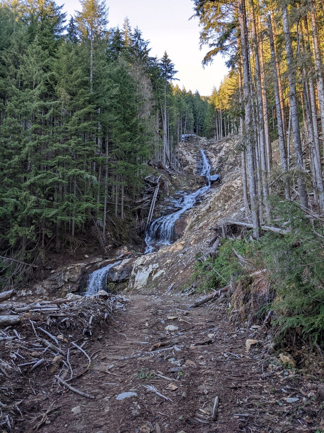
The forest road starts out with frozen snow that one can quite easily walk on. As one progresses, there is less snow, and there are significant stretches with no snow at all. The snow one encounters is quite soft. The crux of the road walk if the first creek crossing at around 2000ft elevation. There is a waterfall (see second picture), with water falling onto rock slabs which are quite slippery. It's not too bad on the way up since one can jump onto a fairly flat slab. On the way back though, one would have to jump onto a slab that is a bit inclined. I opted to descend a few feet on loose terrain along the creek bed and crossed there. There are two more creek crossings, but they are relatively straightforward.
Other than that, the road hike is unproblematic. Consistent snow starts around 2700ft elevation where I've put on snowshoes. No trailbreaking was necessary as the snow was well consolidated. I saw three other parties on this part, but they all went to South Bessemer Mountain. Make sure to take a right turn at around 3200ft (all tracks follow this turn, so unlikely to be missed).
Moolock Mountain
At around 4000ft elevation the road splits: Taking a left takes you towards Moolock Mountain. The forest road continues for another 3/4 mile. There, make sure to get onto the ridge rather than following the forest road (and some tracks) into an open area that looks avalanche prone. It's easiest if you join the ridge immediately. I delayed this for a bit as I was hoping the tracks would follow a safe route and had to go up an unnecessarily steep section.
From then on, once can mostly stick to forested ridge. There were small cornices, so make sure to choose a safe path. The crux on the ridge is around 4280ft: A rock outcrop covered with snow (see third picture). Going over the rock looked dicey, and the area was quite exposed. It was unclear if the snow on the right was on top of the rock, or a cornice. Safest route was to go down and around the rock. The traverse was steep (at least 45 degrees), so I left my snowshoes behind and equipped my microspikes and an ice axe. On a good note, there was a layer of about 2 feet soft snow on the slope which made the traverse safe.
After one regains the ridge, I stayed on it all the way to the summit, including the last 60 feet or so which were very steep. Previous parties traversed a very lightly forested area beneath the summit to avoid this part, but the area was a bit too open for my taste. Generally, the snow was quite soft so I postholed frequently.
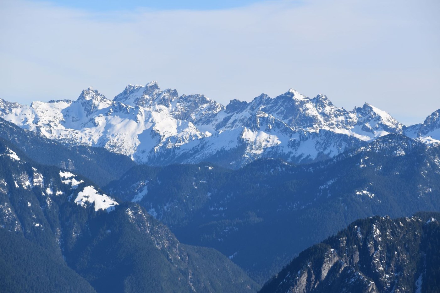
The views from the summit were fantastic: Views of the Snoqualmie Pickets (see first picture), Olympics and the low clouds covering Puget Sounds (see fourth picture), as well as Mount Rainier, Mount Baker, Glacier Peak.


Comments