
Snowshoe adventure this morning - I went up to Mt. Rainier National Park, to see what was going on around the Ohanapecosh area. I saw a week-old trip report from @glucas (very helpful - check it out!), and I wanted to explore. So glad I did!
I left Yakima at 6:00am, stopped at the White Pass ski lodge (as always) for a bathroom break. Bare and wet/dry over the pass. Kept going west on Highway 12, then turned north on Highway 123. The road is still clear until the park boundary (about 2.5 miles further). Bare and dry/wet the entire way as well.
Arrived at the national park gate at 7:30am. It was in the upper 30s, and the snow was already smooshy, so I wore snowshoes the entire time. If it was colder, you could probably just wear boots and traction and be fine. It was near 50 when I finished, so I spent most of the time in pants, gloves, and short sleeves. I did wear my puffy coat when I took breaks. Good boots and poles helped, of course.
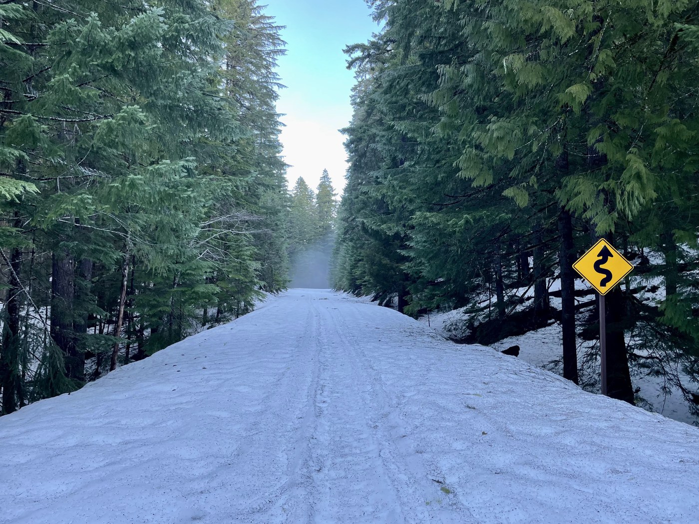
Like @glucas noted, sometimes there was a few feet of snow on the road, other times just a few inches. Definitely more snow the further I went. There is a decent trough to follow, though, which saves you some energy. A nice, gentle uphill, while surrounded by big trees and occasional creeks. And so quiet. There are a few trees across the road - most you can step over (or step ON and over), one was easier to go into the woods and go around.
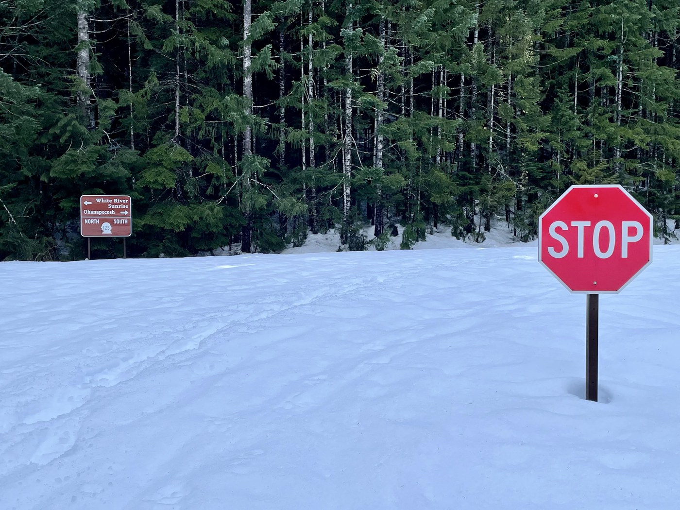
A mile in is the turnoff for Ohanapecosh - I'm sure people can snowshoe around the campground and make use of the covered benches at the Visitor's Center. I kept going on the road, though. @glucas mentioned that the actual Silver Falls Loop was mixed snow/no snow, and I didn't want to deal with that.
Around 3 miles from the gate, there is a spur trail to the left, which joins the Silver Falls Loop. If you want to see the falls but avoid the patchy trail, this would be a good way to do it.
I kept going ,and 0.1mi later I turned onto Stevens Canyon Road. (It looks like the snowshoe trail continues up Highway 123, but I don't know how far.) It was tougher going on this road, but still nothing awful. Like @glucas noted, the vault bathrooms here are open and accessible - you just have to climb over a big pile of icy snow to get there (snowshoes helped here).
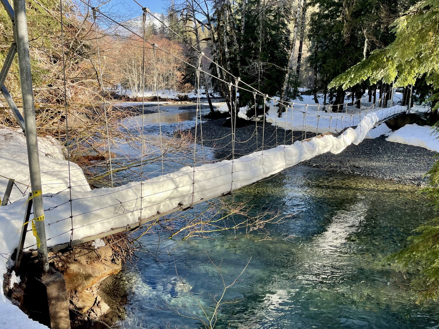
I wanted to see what the suspension bridge to the Grove of the Patriarchs looked like - I was here back in November when the whole place was flooding. I know the bridge (and the Grove) are still closed, but I still wanted to check it out.
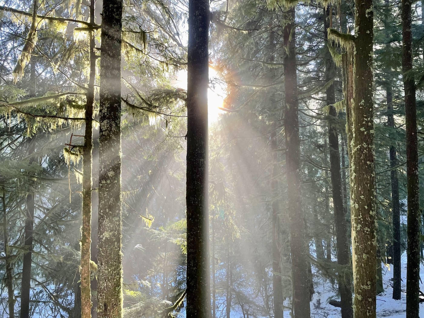
With my snowshoes, I was able to get onto the Eastside Trail (there's a pile of snow to cross, but it is feasible). It was great to be in the trees - with the sun shining through and some patches of fog, it was almost magical. The trail is snow-covered, but obvious. I'm paranoid about getting lost, since I am usually by myself, and it never raised any red flags. It is narrow in spots, though, I suppose a serious fall and slide would end in the river. You have to push through a few thin branches now and then, too.
After 0.8mi from the road turnoff, there's a spur to the bridge. It's a bit steep, so step carefully. You can see the photo of the bridge - yep, still broken. Definitely do not attempt it. If you compare the water height in this report's photo to my report photo from November 2021, it's pretty amazing how much this river can change. The sun was shining on this spot, so I sat for awhile, enjoyed some snack and cocoa, and watched the water pass by. One of my favorite rivers, crystal clear water and so many colorful stones (when it's not the Great Flood).
After a half hour, I headed back. A long slog, but at least it was downhill, and I could just follow my tracks and mentally wander. I saw lots of animal tracks - elk or sheep, dog, cat, and possibly a Snow Liger. The road was in the shade the whole time, but later in the day you would probably be in the sun.
Made it back to the car, three big snowplows and trucks parked next to me. They were very friendly, but told me that they had temporarily closed the road at the Highway 12/123 intersection. I think they are widening the plowed area of 123. Just know that they might be closing the road occasionally (they said today it was just for a few hours). I was able to drive back to Highway 12, go around the "closed" sign, and head home.
7.7mi total, 600ft elevation gain. Total time 3 hours, 20 minutes. Until the workers, I didn't see a single person - just a few chipmunks and birds.
Grateful to be out in the national park today.
Comments
stever on Silver Falls - Grove of the Patriarchs Snowshoe, Silver Falls Loop, Grove of the Patriarchs Loop
Great report and photos! Thanks, SR
Posted by:
stever on Feb 18, 2022 05:27 PM
glucas on Silver Falls - Grove of the Patriarchs Snowshoe, Silver Falls Loop, Grove of the Patriarchs Loop
It is a great area for some peace, quiet and forest healing right now, that's for sure!
Posted by:
glucas on Feb 22, 2022 04:24 PM