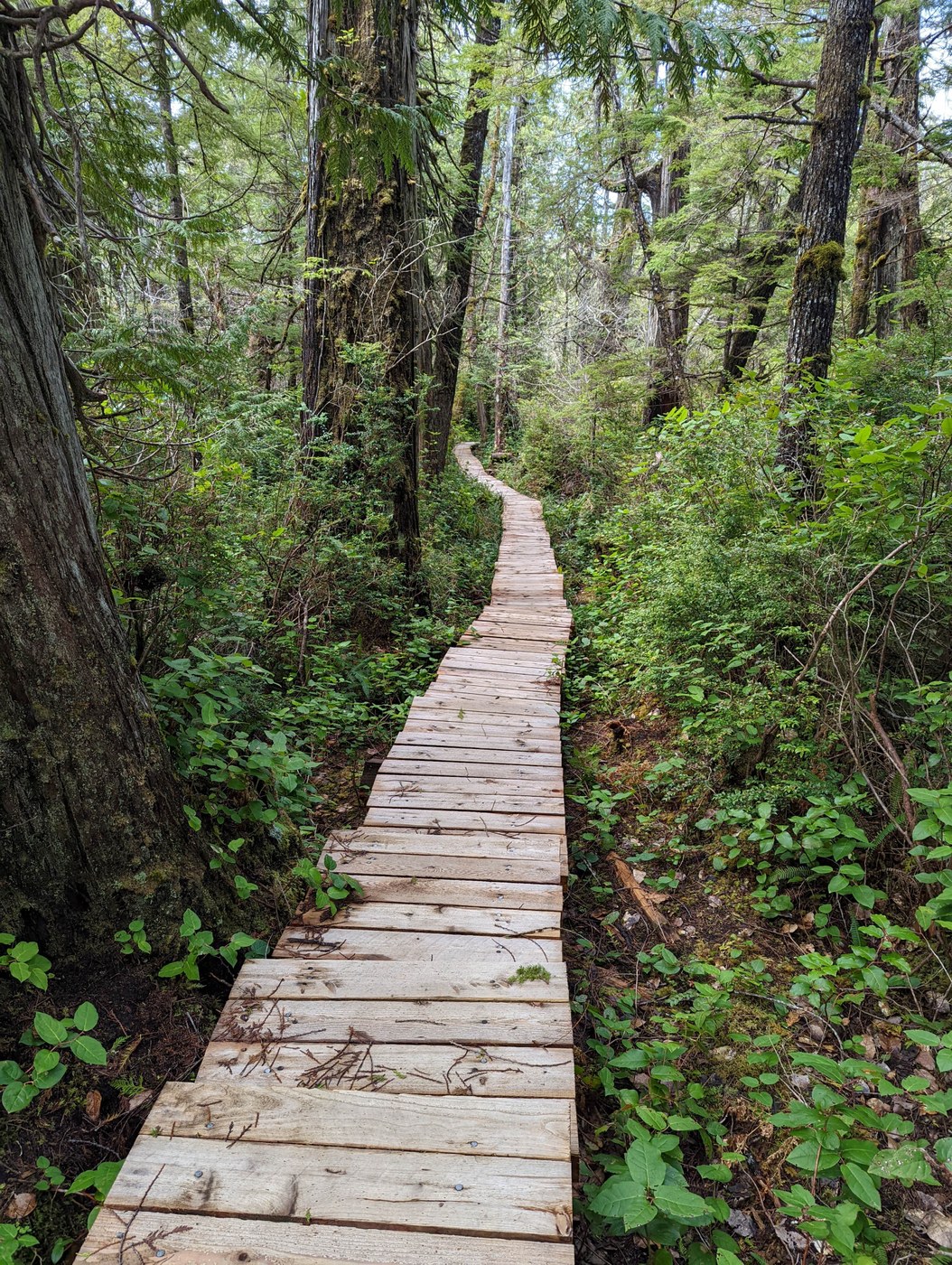
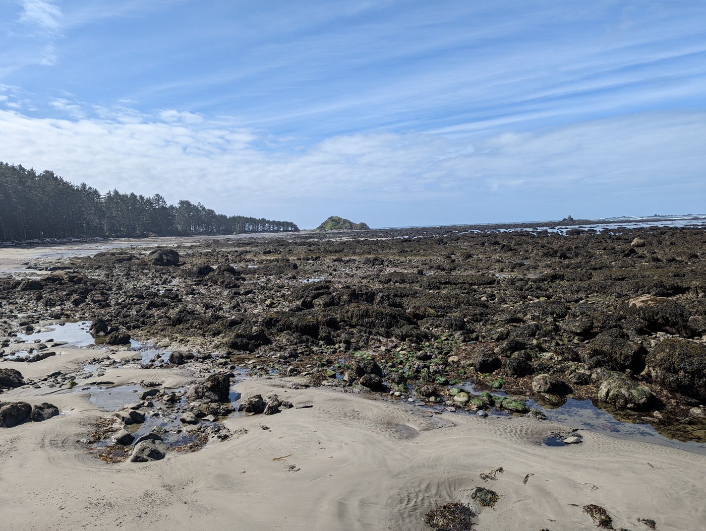
This had been a "bucket list" hike for me, and I finally made the time to do it. I did it "clockwise" (Lake Ozette trailhead to Sand Point, then north along the beach to Cape Alava, then back to the trailhead).
The parking lot at the trailhead is very large; I was there on a weekday (Friday in late April), but it would be hard to imagine the entire lot could fill even on a summer weekend.
All of the boardwalk sections of trail were in good shape, with the exception of one easily-circumvented washout on the Cape Alava leg of the trail. The most challenging hiking conditions are actually the beach section. This is a rough and rocky beach with often challenging footing. You'll also encounter at least a dozen trees that have fallen onto the shore that will require climbing over, scurrying under, or detouring around them on the seaward side.
Here is my timeline; I am a healthy, fit male in my early 50s, hiking alone at a steady and brisk pace but by no means "speed walking". My Fitbit indicated my pace was generally between 17-18 minutes per mile.
DEPART TRAILHEAD, HEADING FOR SAND POINT: 10:48 AM
ARRIVE BEACH NEAR SAND POINT: 11:38 AM (elapsed time 50 minutes)
DEPART SAND BEACH, HEADING FOR CAPE ALAVA: 11:45 AM
ARRIVE CAPE ALAVA: 1:10 PM (elapsed time 1 hour 25 minutes; note this included several stops to take pictures and ventures out across the rocks at low tide to the water)
DEPART CAPE ALAVA: 1:37 PM
ARRIVE TRAILHEAD: 2:44 PM (elapsed time 1 hour 7 minutes)
Total Hiking Time (excluding stops at each major point): 3 hours 22 minutes
A few remarks:
(1) I'd recommend timing the beach portion of your hike for low tide; I think shore areas are intrinsically more interesting at low tide. There are plenty of tide tables available online.
(2) For those wishing to do an "out and back" hike, as opposed to the entire triangle: between the Sand Point Trail and the Cape Alava Trail, I'd probably recommend the Cape Alava Trail for these reasons:
[a] The trail to Cape Alava is a little more varied and interesting, with some water features, a few areas of meadow, and a little bit of up-and-down (no severe elevation, but enough to make it interesting). The trail to Sand Point, in contrast, is pretty but somewhat monotonous.
[b] There's something fun about taking a picture at Cape Alava when you can claim you are the westernmost person in the contiguous U.S. at the time.
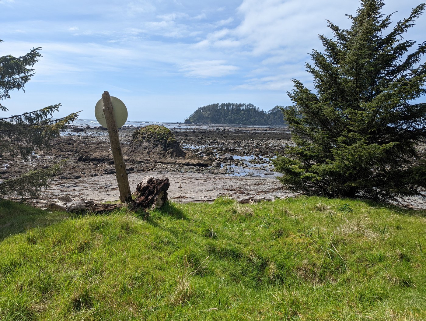
(3) For those doing the entire triangle, I would recommend "clockwise" (as I did), but it is not a strong recommendation. If Cape Alava is the "highlight" of the trip, then save it for last. And, if it is a sunny day, it might be more pleasant to walk north along the beach so the sun is at your back. And, finally, finding the trailhead from the beach near Sand Point can be difficult. There is a "target" but it can be easy to miss. Be aware that there is no cell phone signal at the beach, so your GPS on your phone may be suboptimized. Be sure to bring a detailed map of the area (or have a high resolution photo of it on your phone). It is easier to find the trailhead from Cape Alava; you'll see a open, grassy campground just inland of the beach. For reference purposes, I'll post pictures of both the Sand Point and Cape Alava trailheads.
(4) Even a pristine beach can be "messy" for both manmade and natura reasons. Be aware that mother nature has provided plenty of large, thick piles of rotting, stinky, bug-attracting seaweed. More concerning is that there is some garbage along the beach. I'd prefer to think most of it is junk that has washed ashore as opposed to inconsiderate hikers. In a couple of places along the beach, funsters have created swings hanging from trees. I suppose it is relatively harmless, and I tried one out myself, but it does kind of detract from the notion of unspoiled wilderness.
(5) FYI I hiked on a beautiful, sunny, mild Friday in April and saw perhaps 10 people on the entire loop, and not a single other person on the trail to Sand Point.
FITBIT DATA:
Miles walked: 10.13 (the loop is signed at 9.2 miles, but I did some extra distance to head out to the waterline a couple of times and went a little north of the Cape [though respecting the closure of the Ozette Reservation lands])
Steps taken: 22,309
Calorie Burn: 1939


Comments
Washington Trails Association on Cape Alava Loop (Ozette Triangle)
Thanks for the helpful and informative trip report, Kwa829! Looks like it was a beautiful day for a loop around the triangle.
Posted by:
Washington Trails Association on Apr 25, 2022 03:06 PM