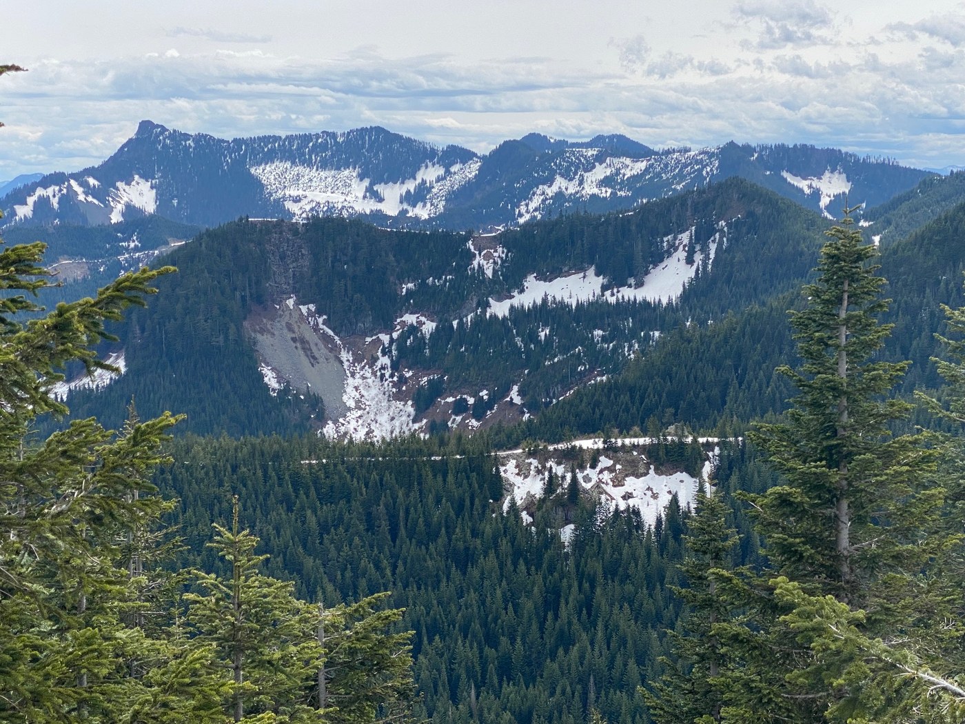
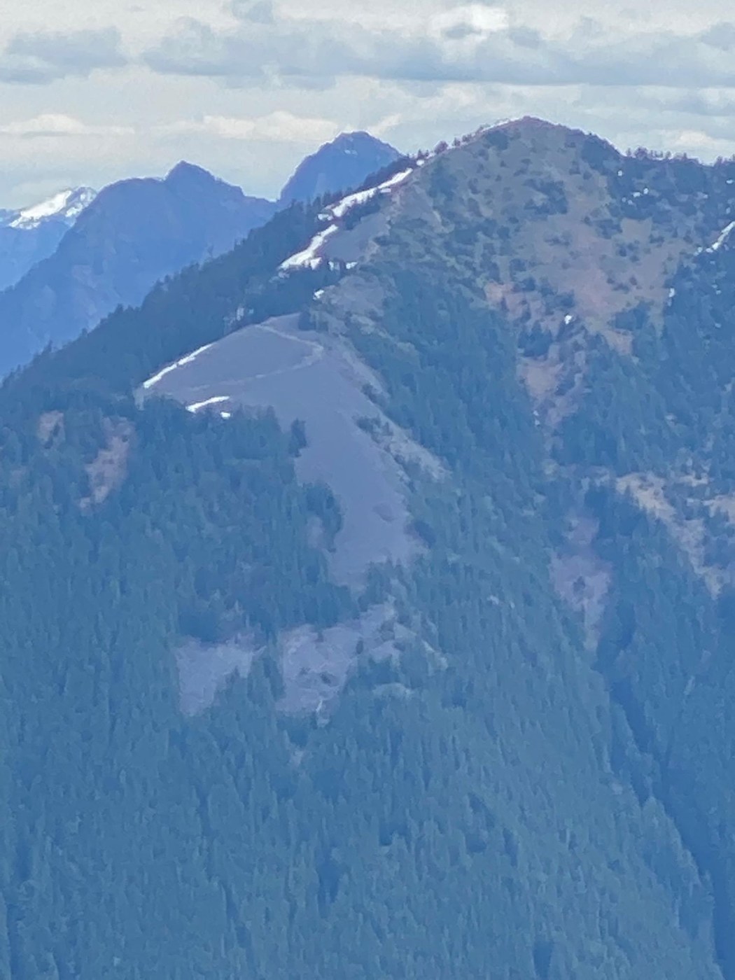
First visit to this local Snoqualmie valley peak, with views towards Rainier, Middle Fork, South Sound, Olympics, and North Bend.
Intermittent snow starting at Olallie Trail, slushy by mid-day. Gaiters a plus. You can use traction devices, but you will be taking them off and on. I used mine for ~15mins, but mainly to try out some shiny new K-10s rather then a necessity:)
Frankly, given the potential for busting through the slushy snow, I'd recommend either giving the trail 1-2wks more at this point, or come early and use spikes.
Overall trail in good condition, just don't expect Mt Si / PCT level grooming. Route-finding was easy with GPS, though the area could benefit from a little more signage.
Ascent to Olallie Trail
- Follow ( I imaging ) an old logging road, can be rocky in places, especially lower down, but nothing unusual
- Pass multiple weeping cliffs and climber's walls ( and cave! )
- Couple minor blowdowns, easy to skirt
- Water ( creeks ) on trail in several spots, but easy to work around. I had waterproof low hikers and was fine.
At the Olallie Trail you have a choice between the "main trail" and the "0.3mi" boot path, I choice to ascend via the later, and come back the former.
Ascent via "0.3mi" ( turn climber's right at Olallie ):
- A surprisingly pretty little boot-path ( doesn't hang around )
- Follow Olallie trail for ~5mins, then look for cairns marking trail on left
- Was mostly snow free except for the top 100-200' which was awkward because of deep / soft snow, recommend coming early if go this way
- Joins main trail ~3900
3900' to summit:
- Intermittent snow (50%), much of which you can walk beside
- Last couple hundred feet covered in easy snow
- Great views from Summit ( north / west ), and just before ( south / east )
Descent by "main" trail ( turn climber's left when ascending at Olallie ):
- Intermittent snow (70%), no real obstacles,
- Be wary of punching through, especially on descent
Parking @8:15am on a Wed: Empty, @2:30pm: 10% full ( it's a big lot )
Toilet in good condition, though always amazing how these things must appear to be trash bins to some.


Comments