This was a loop hike using three main trails and locating the lower portion of the old Hidden Forest Trail. Began my hike from the DNR yellow gate off the Tiger Mtn. Road SE. You cannot park by the gate since there are "No Parking and Tow Away" signs, so I parked on a side street nearby. I hiked the connector road a short distance to get to the West Side Road and turned left and headed north. When I passed the trailhead for the Grand Canyon of 15 Mile Creek Trail, I saw that the DNR had a trail closed sign because of the damaged bridge up the trail. The bridge has been out for a few years. Further up the road I crossed 15 Mile Creek on a cement concrete bridge and went up a steep hill. Around the first corner at the top of the hill was the 5 Mile sign on a tree. On the left side of the road is where the lower section of the Hidden Forest Trail begins. This part of the trail is between the West Side Road, to where is crosses the DNR 1500 Road and meets back up with the West Side Road higher up the mountain side is not shown on the Green Trails Map of Tiger Mtn. or on an All Trails map.
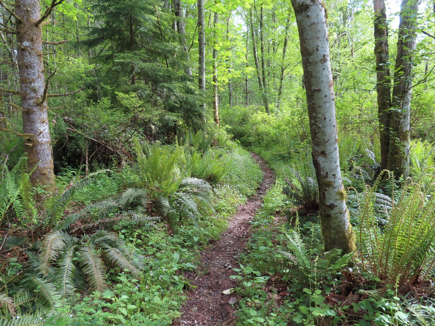
I headed up the lower section of the Hidden Forest Trail which had a nice surface to walk on. My 1994 map of Tiger Mtn. showed part of this trail, so thought I would check it out. As I hiked along, I found a maze of other trails in the area with several trail junctions, plus several good bridges. I needed to use my navigation and dead reconning skills to find way up the right trail. After two switchbacks the trail left the second growth conifer forest and came into a DNR Doug fir forest. The planted trees are about 6'-8' tall. The trail goes through tall grass, but is easy to follow. I came out onto the DNR 1500 Road and turned left going north. After about 200 yards I spotted the Hidden Forest Trail going up into the forest at a curve in the road. A short ways up the trail I saw a bright green wall telephone on a tree. I could not make any calls since the receiver was missing. The phone had an out of state area code. Further up this trail I could see Mt. Rainier as it turned to the right and came out onto the West Side Road. This lower section of the Hidden Forest Trail was a nice one to hike. Not to steep and a good surface most of the way. I could see a few horseshoe prints in the trail from people riding there horses on this trail. The lower section of the Hidden Forest Trail is in good shape and any fallen trees have been cut out.
Once back on the West Side Road, I went downhill a short way to meet up with the upper portion of the Hidden Forest Trail. The trail begins by a small creek with a waterfall. After going through the horse gate the trail starts up steeply through the conifer forest. After getting into the alder forest the trail becomes more over grown and needs to be brushed out. The trail crosses a couple of small creeks with mini waterfalls. I then got up to the junction with the 15 Mile Railroad Grade Trail. There are signs here with one showing 0.2 miles up to the Tiger Mtn. Trail. This section of the Hidden Forest Trail is the steepest part and it seems much longer then just 0.2 miles. Who ever built this part of the trail did not believe in switchbacks.
When I got up the TMT I turned right and headed east. This part of the TMT is really nice to hike, one of the better trails on Tiger Mtn. After going by Wally's Glen, I got to the big wooden truss bridge over a deep creek gulley with a view to the south. I then passed the "Lone Rock" shown on the GT map. It is a very large glacial erratic left from the last ice age and has been hanging around on Tiger Mtn. for the past 12,000 years. Further along I spotted a small erratic down below the trail. It was now lunch time, so I found a fallen tree for a bench. After eating I continued down the TMT and met up with the 15 Mile RR Grade Trail. I stayed on the TMT and went across Custer's Bridge over Fifteen Mile Creek. The trail then goes back up hill next to a old DNR logged off area. I went through some muddy areas as the trail goes down hill to the junction near Hal's Cove. I took the steep connector trail 1/4 mile down get to the Hobart Middle Tiger RR Grade Trail. One of the big blown down trees has been cut out since the last time I had hiked this trail.
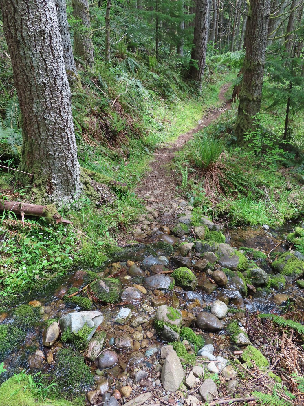
Once down to the Hobart Middle Tiger RR Grade Trail I hiked it south back to the West Side Road. Since the trail is on an old logging railroad grade you can move right along. The grade was from the days when Wood and Iverson logged the south part of the Tiger Mountain forest from1912 to 1940. Their sawmill was down in Hobart. At the creek crossings you need to go down and up since the railroad trestles are long gone. At the biggest one the trail switchbacks down to get across the creek and going back up I saw where the DNR had cut down a large Red Cedar tree at a part of the trail that had sluffed off on the steep side hill. I also saw where the DNR had set up a future timber sale, as there a lots of pink ribbons along the trail as one of the boundaries of the sale. When I got back down to the West Side Road I hiked it back west, then to the connector road out to the DNR yellow gate and back to where I parked.
This hike was about 8 miles with a big loop. The only hikers I saw on the trails I hiked where several red beetles, some millipedes and one snail. Never saw any people on this trip. So no crowds like West Tiger 3 or the Chirico Trail. I had a fun hike discovering the lower section of the Hidden Forest Trail, plus a section of the TMT I had not hiked in the past. George


Comments