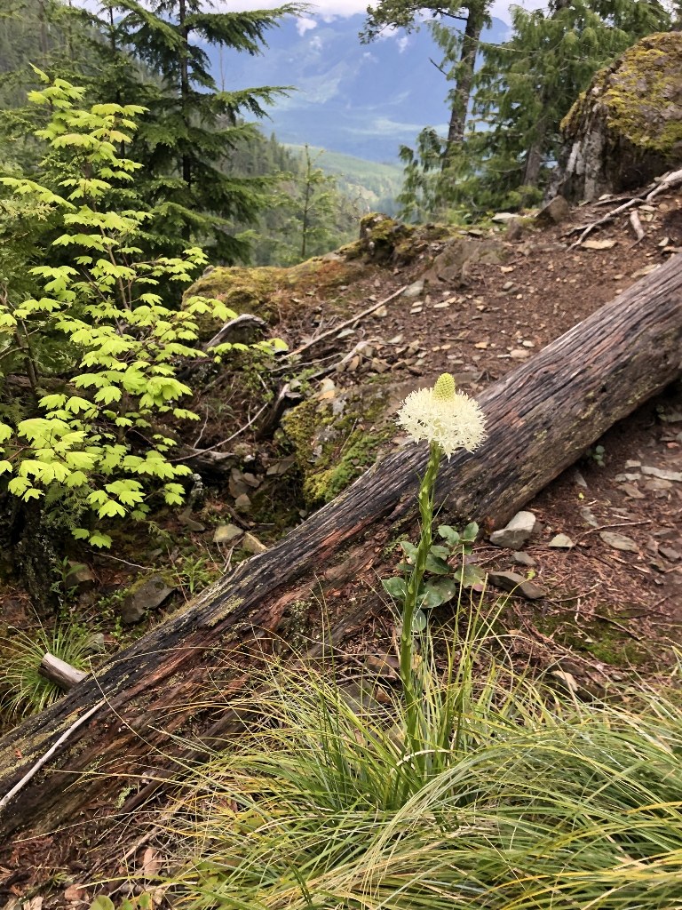
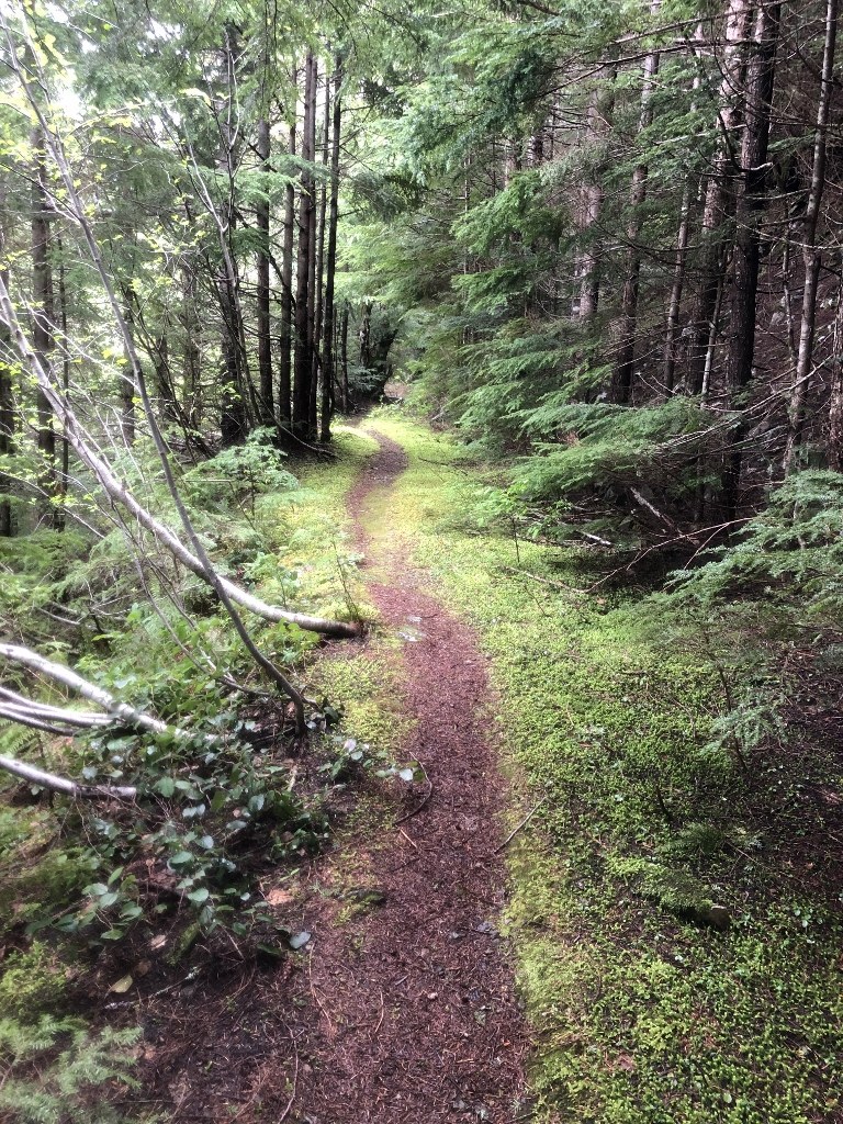
This is a good loop trail with plenty of varied scenery. I parked at Homestead Valley TH. A brief hike east on the Palouse to Cascades Trail brings one to the unmarked Change Creek Trail. This climbs steeply up the rough rib between Change Creek and Hall Creek. This bootleg trail is well made, but steep -- fine for hiking up, but I don't like coming down this trail, so doing this loop means you hike out on the comparitively civilized Mt. Washington Trail.
Beyond the spur trail to Hall Point, the trail emerges onto a series of ancient logging roads, and the grade suddenly moderates. From here to the head of Change Creek Valley, the trail has become quite brushy again. Next time I will bring clippers and a small saw. You do the same please! If each of us does a little, then no one will have to do a lot. At the head of the valley, there is a sign with an arrow pointing to the right saying "Pond / Mt. Washington. Rather than take this cutoff trail, which I do not like, I crossed the small creek and continued straight on the old road bed. 15 minutes of mild brush bashing brings you to the current start (or end) of the Olallie Trail. This very fine trail continues north and up, to a high point on the north shoulder of Change Peak, just below it's summit. There is a junction here. Left is the Great Wall Trail, the old standard summit route to Mt. Washington. Going right, the Great Wall Trail and Olallie Trail proceed together for a while, until the Great Wall Trail splits off to the right at a poorly marked junction. (Alternately, just continue on the Olallie Trail until it intersects with the Mt. Washington Trail.)
The lower part of the Mt. Washington Trail is more eroded and rough than I've seen it before, and there are a few minor blowdowns.
There was some snow at the head of Change Creek, near the pond, but it was so minimal, and melting fast, that I marked this hike "snow free".
3000' foot gain, 8 or 9 miles rt, but can easily be extended, so a good workout.


Comments