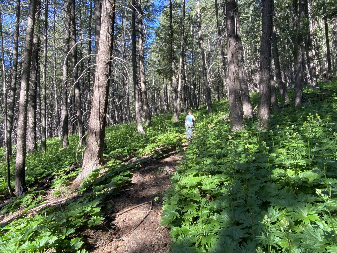
Jack’s is suitable for all family members on either bike or foot. Even an intrepid wheelchair might be able to navigate its tread.
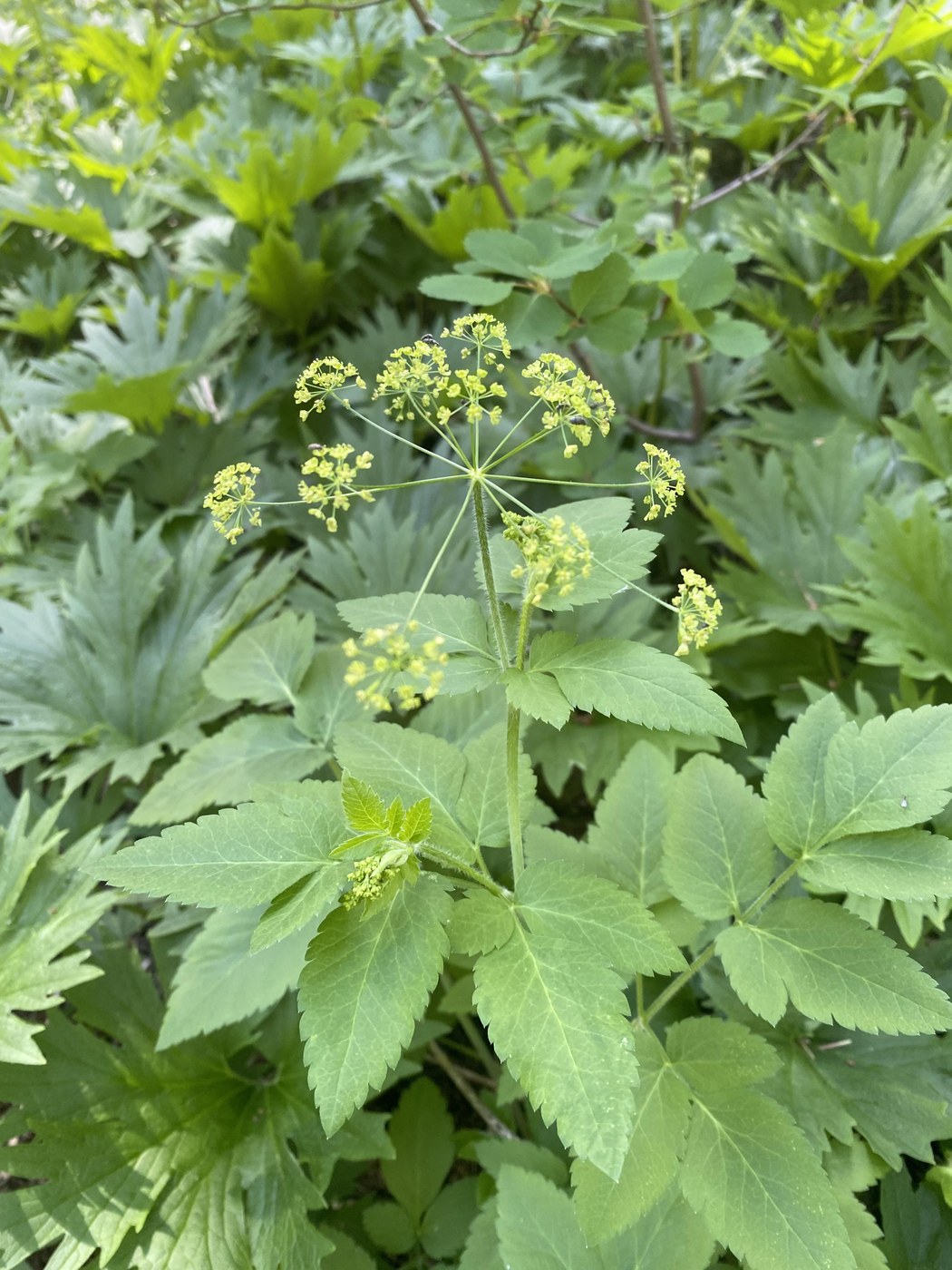
We set out today to follow an old trail that I discovered while mushrooming a few weeks ago. Jack’s got us in towards Driveway Butte and Doe Canyon. From there we explored an old trail all the while looking for mushrooms and wild flowers. We found far more of the latter.
Our outing was ~5 miles with <1000’ in gain. We identified 26 flowers, saw a lot of deer track, and just two other parties of two while we walked back west on Doe Canyon Road.
prescriptive burns were done here last year and the forest is looking very healthy.


Comments
Terrierpup on Jack's Run
Where do you park for this one?
Posted by:
Terrierpup on May 12, 2024 02:07 PM
Rolan on Jack's Run
Are you following part of the old Center Stock Driveway? My son & I have been locating the old metal signs for it. Some are folded in half by the bark of the pine trees they are mounted on. We have found 8 signs, 3 below the Doe Canyon trail and 5 above. The driveway crossed the Doe Canyon trail about 1.0 mile from its junction with the Doe Canyon Spur. We have made it up to 3300ft thus far. Eventually, we hope to finish the remaining 1900ft climb to the top of the ridge southeast of "Little Butte" at the edge of the Needle Creek Fire area.
Posted by:
Rolan on May 13, 2024 01:58 PM
Terrierpup on Jack's Run
I never been here before so not sure how to get there from Google Maps but do want to check it out if it’s not super far from me.
Posted by:
Terrierpup on May 13, 2024 03:14 PM
Rolan on Jack's Run
Given that Austin has not responded, I can give you my best guess at what he is describing. I believe they parked at what Google calls "Jack's Loop Trailhead Parking" (48.5976, -120.4489), which is a few miles west of Mazama, WA on SR20. They probably went northwest on Jack's trail (the nice, smooth trail) to a point about 0.1 mile beyond its second signed junction with Doe Canyon Loop trail. To the west of Jack's trail in this vicinity, there is an unsigned trail/firebreak that gradually climbs about 700ft in 1.5 miles, staying about 100ft-150ft above the Doe Canyon trail, before dropping 100ft in 0.1 mile to reach the west end of the Doe Canyon trail. The route back to the trailhead is straightforward going northeast on Doe Canyon, then right on Doe Canyon Loop, and right on Jack's trail.
In order to understand my best guess of the route you will want the Methow Trails Upper Methow Valley summer trails map.
https://methowtrails.org/assets/summertrails_uppermethowvalley_2023.pdf
Note that Jack's trail is the only smooth and nearly level part of this trip. In addition, to do the entire loop you should be comfortable traveling on unmapped trails with unsigned trail junctions.
Posted by:
Rolan on May 17, 2024 05:27 PM