

This is a story of optimism and hubris -- and startling beauty. tl;dr: Ingalls Pass to Ingalls Lake is blanketed with snow; parts that see the southern sun are getting soft and squishy and you're likely to punch through; the other faces are hard and often icy. Poles and microspikes recommended. Be cautious of avalanches: in the next few weeks, I expect the whole area to start gracefully sliding down the mountain as it melts.
I had been scheduled to join a group to head up a glacier this weekend, but with thunderstorms over the mountains, we cancelled the trip and I decided to go find a sunnier spot. Weather maps told me that Leavenworth should be seeing some sun while everything else was covered in rain, and convinced myself that the Teanaway and Ingalls Creek might just count. I was somewhat right.
Seeing a trip report from last year, I decided to try the loop: Longs Pass to Ingalls Creek, up to Ingalls Lake and back over Ingalls Pass. I’d spend a night somewhere on Ingalls Creek. I left Esemerelda Trailhead around noon, passing lots of hikers coming down. All of them reported that Ingalls Pass was snowy, and so they'd turned back, feeling they didn't have the right snow gear.
I turned right and lost the crowds. There were fresh wildflowers blooming all the way up Longs Pass. Crossing over the pass and onto the snowfield below took a small dose of courage: the trail was covered with snow, leaving the edge a little more precarious. The snowfield itself was firm, solid and long. It was a glorious glissade with a safe run out at the bottom, dropping about 500 feet.
It began to snow towards the bottom. The snow down there was softer, so the trip down into Ingalls Creek was damp, but beautiful. Lots of small punch-throughs. The snow turned to drizzle as I reached the creek.
Ingalls Creek has lots of beautiful campsites along it, so it’s almost never hard to find something. For future hikers, know that there were several very close to the turn off for Longs Pass, right at the 5000 foot line, and another few a half-mile later, just at the 5400 foot line.
The snow line kicked in at 5800 feet, and seeing as this was about to turn up to the lake, I stopped for the night. The snow intensified and picked up for a cold night. Here is where I admit that I had not thought hard enough about cold weather planning: I had a 30 degree bag and it was Not Enough. I slept in every bit of gear I had brought; my toes are still angry at me about it.
The next morning it got a little warmer after the sunrise at 5:30, and was almost balmy by seven. I stamped sensation back into my feet, packed up my tent, and started heading uphill. The sun crested the mountains, as I started the last push up to Ingalls Lake, and the temperature rose another ten degrees. Clouds blew past but never rained; Mt Stuart alternated between showing its head and its foot, but infrequently the whole mountain at once.
The climb to the lake is very firm now, with a hard layer of slippery under it. I was very grateful to have my spikes and poles -- but I would have felt even better for a few segments with an axe and perhaps crampons. I'm not sure it would have been worth bringing crampons for the trip, but there were definitely some slippery parts. The ground was untouched.
I saw my first other people of the trip at the far end of the lake. The trip from the lake, along the ridge, and then dropping that back down to the parking lot was more straightforward; the other trails to follow made for easy navigation. The southern aspect is getting very mushy, and it’s easy to posthole. I wasn’t the only victim to enjoy a hip-deep drop. The other sides, more protected from the sun, stayed firm for now.
This leaves me with a warning: while I found the snow firm, it doesn’t have long to go. I could often hear water running underneath the layers. At some point, it’s going to start falling off in great slabs.expect avalanche danger to increase, and look carefully where you’re going as it melts out.


Comments
Onblarney on Ingalls Creek, Lake Ingalls, Longs Pass
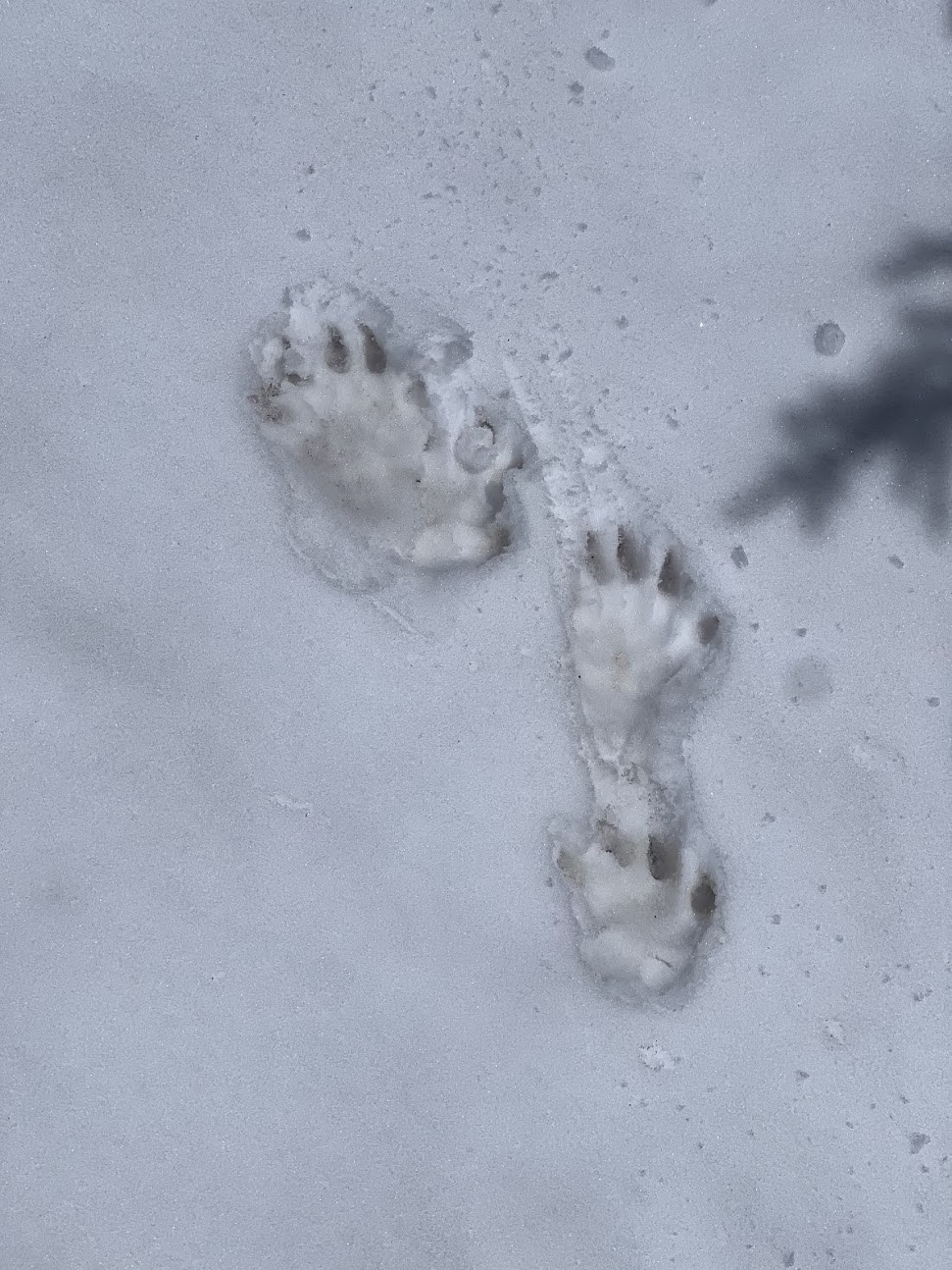
Thank you for the report. I was planning to take the route you did this coming weekend, but I think I should wait a couple more weekends. I was curious: Were the paw prints in the snow those of a bear?
Thank you,--OB
Posted by:
Onblarney on Jun 18, 2024 08:06 PM
madeoutofpeople on Ingalls Creek, Lake Ingalls, Longs Pass
Way too small for a bear -- these were only a few inches across.
Posted by:
madeoutofpeople on Jun 19, 2024 08:58 AM
CarmenCaboose on Ingalls Creek, Lake Ingalls, Longs Pass
Beautiful report. Thanks for writing. What tracks were those? Wolverine?
Posted by:
CarmenCaboose on Jul 29, 2024 10:46 AM