
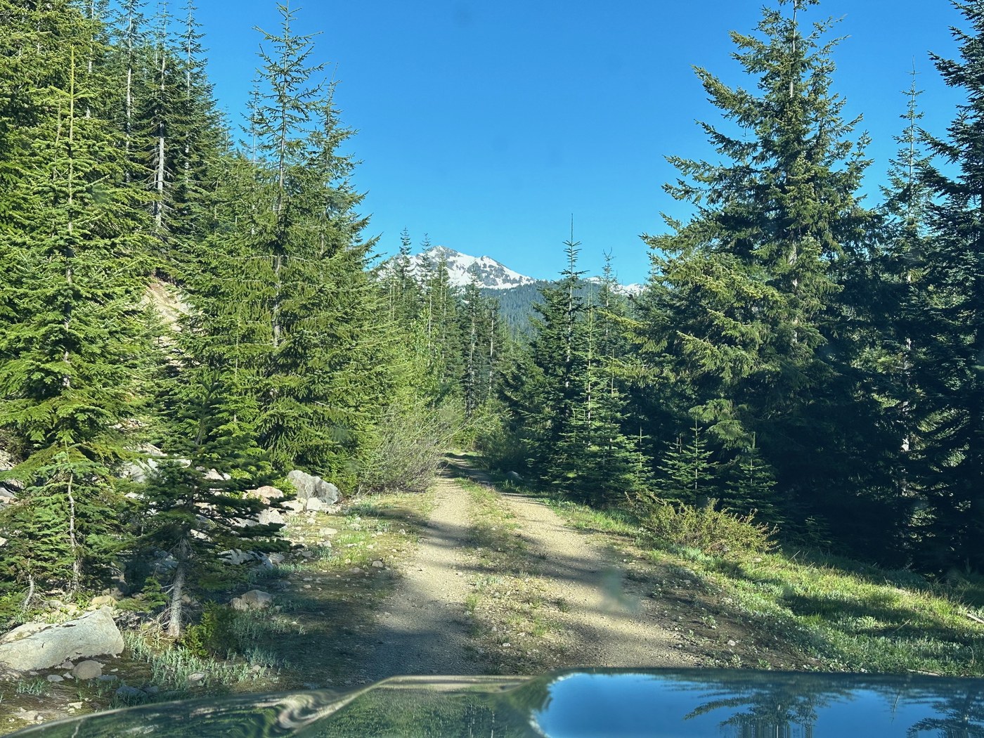
After backpacking at Packwood Lake, I took my truck up Snyder Mountain via FR-48, passing Lily Basin trailhead. This is only a road conditions report, not the trail. The road to the trailhead is snowfree. Summiting Snyder at 4800' there was no snow, so this gives you an idea of the snowline for this trail currently, likely 5000-5500' depending on your aspect. The forest road is in very very good condition until the quarry (now shooting range). After that there is a very steep descent and ascent that I would recommend higher clearance and 4wd for. Actually the steepest section of forest road I have ever encountered, but only about 30' long. Brush along the road is not too overgrown yet.
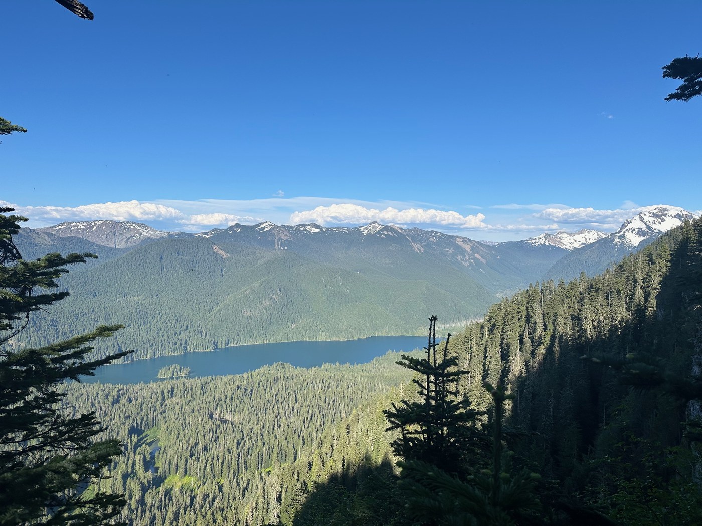
I recommend checking out the Snyder summit, just a few miles past the trailhead. Caution here is that the road does get rougher since it is lower use, and the brush is quite overgrown so it can scrape the sides of your car. Top has a nice view point of Packwood Lake as well as Johnson Peak, Chimney Rock, Coal Creek Mountain, and Beargrass Butte.
No one was at the trailhead when I drove by, but I did see an elk meandering about.
, unnamed North side of Old Snowy Mtn (left)")

Comments
TVans on Heart Lake via Lily Basin Trail
Is the quarry before or after the Lily Basin trailhead? Thanks!
Posted by:
TVans on Aug 04, 2024 06:29 AM