I did this as an out-and-back, from the trailhead close to Cathedral Falls, up to the summit(s) of Tumwater Mountain -- or Tumwater Peak, as the signage appears to call it, although the sign is in disrepair. So, while I didn't do a loop, I'm tagging the Goat Creek Loop, since the info on the trail up on the mountain will be relevant.
The falls are beautiful (despite the graffiti UGH!), although the flow is pretty light presently. There are a few other, smaller falls after that, and the creek itself is often lovely alongside the trail.
The first real water crossing is at ~1.6 miles. Having read up on this route, I brought along sandals to swap into here. The ultralight/thruhiker types among you will undoubtedly forge ahead in your quick-drying trailrunners, but I feared my hiking shoes would have stayed waterlogged for the next 10 miles.
The second and final water crossing of note is only 1/2 mile later, so if like me you're changing shoes, you might just want to keep your water shoes on until you cross both, but I did change footwear back and forth each time in both directions.
After that second ford, the elevation gain begins in earnest, rising 2,300 feet in the next 2.5 miles. Although there's been some obvious trail work done (thanks, crews!), there was a significant amount of lumber on the trail. I cleared many, many limbs and smaller trees, but there are still a number of large trees down. None is particularly difficult to surmount, but some are a slight pain and/or obscure the trail.
After this steep section, according to both the Gaia map I was following and Cal Topo, the trail is supposed to form a loop of sorts up top, skirting the seasonal tarn on one side, and crossing the highpoints of Tumwater Mountain on the other.
I was surprised to find significant patches of snow near the tarn, although there’s very little on the trail itself, and not for long, I’m sure.
I never saw what should have been the first fork, before the tarn, on climbers right. However, having read some trip reports on Peak Bagger saying it involved a fair amount of bushwhacking, I followed their advice and continued on past the tarn to the second fork, which itself was pretty obscure and a little bushwhack-y. You'll want to have your map handy. I'm afraid this summit spur/loop trail is being lost.
Take the sharp right to double-back to Tumwater Mountain. The first (east) summit, which is supposedly the higher of the two, is treed in, although there is a view over to Rainier, and you can see Hood just before this highpoint.
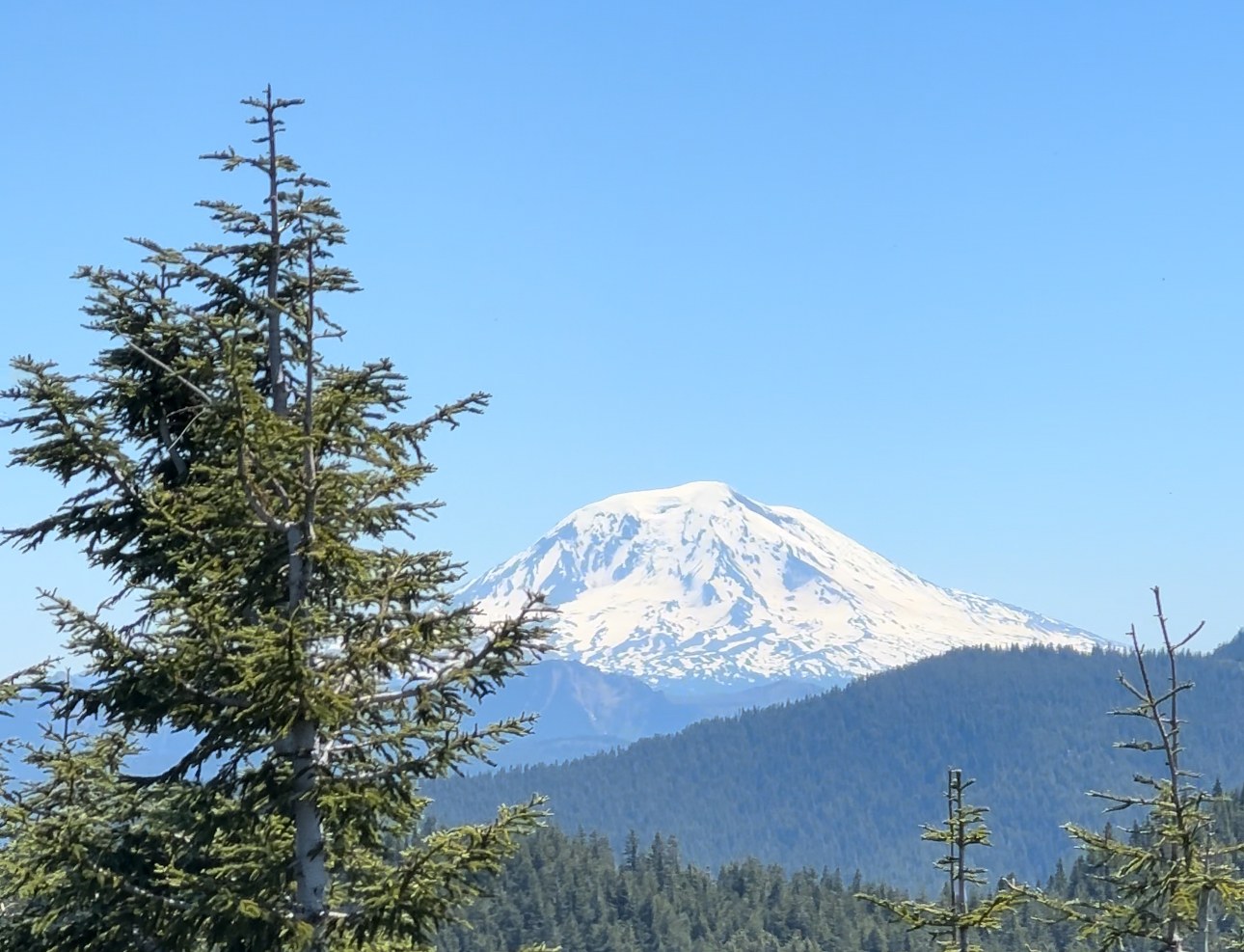
The second (west) summit is the one you really want, though. From here, I had clear views to Rainier, Adams, Hood, St. Helens and much more.
After a snack up top, I doubled back the way I came. All told, it's about 12 miles roundtrip, and 3,700 feet of gain to the summit. Save a little gas in the tank for the last couple of miles. It was steeper on the way back out from the creek than it seemed on fresh legs on the way in!


Comments