

This hike had been on my list for awhile, mainly because it's not popular and has a view of Three Fingers. The road is rough but passable for any vehicle. When you get to the fork in the road make sure you stay right and in no time you'll be at the trailhead.
We saw one other car there, a couple from California who were going up to climb in the area. We also saw a father daughter later on, but that was it.
The trail is "maintained" which I will use loosely. It could be horrible, but people clearly go up there and make it usable. You will hike up on many rocks, roots and a few little stream crossings. It is muddy in sections as well. The bugs were barely noticeable.
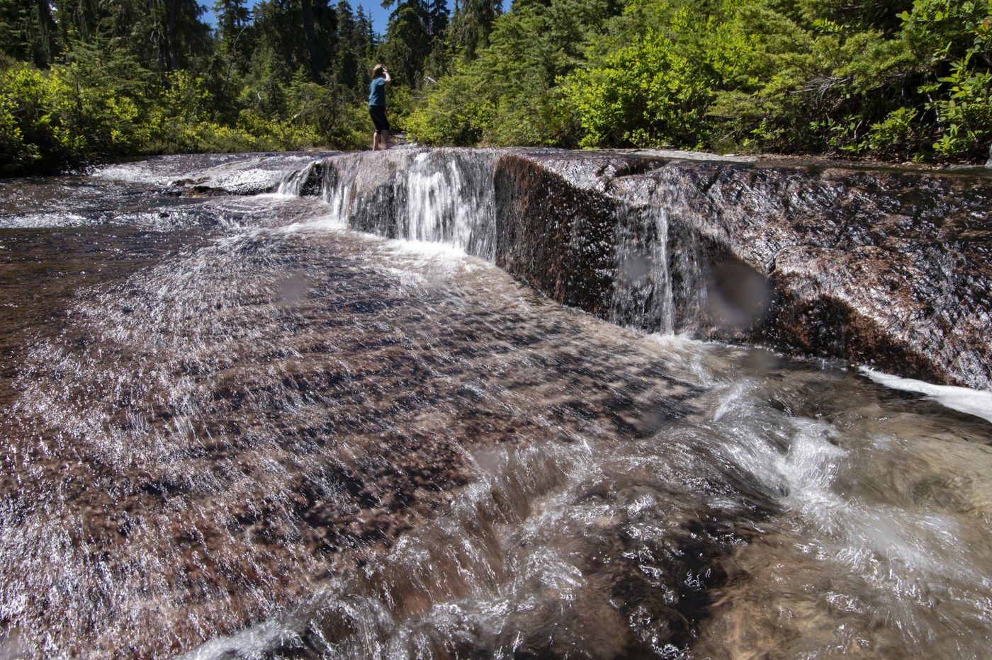
After some confusion with my caltopo map thinking we had passed the pass, we turned around after soaking in some sweet little creek flowing down granite slabs. It was probably the best part of the hike. After I figured out my compass on the map was messed up, we turned around and went up another 1/4 mile or so and got a sweet view of Three Fingers Mountain. There are definite areas to camp up there and it would probably be worth it to do sometime. This hike comes at a price though, 2350' elevation gain and a very rough trail.
I did this with my 7 year old and it was what I would call her first "real" hike high up in the mountains. She loved it and already wants to come back.
Enjoy the pain if you go!


Comments
Nice! What a trooper! That creek does look very inviting on a hot day.
(and the lookout perched atop Three Fingers always gives me the willies)
Posted by:
mato on Jul 06, 2024 10:03 PM
She was for sure!
Posted by:
The Silent One on Jul 07, 2024 10:50 AM