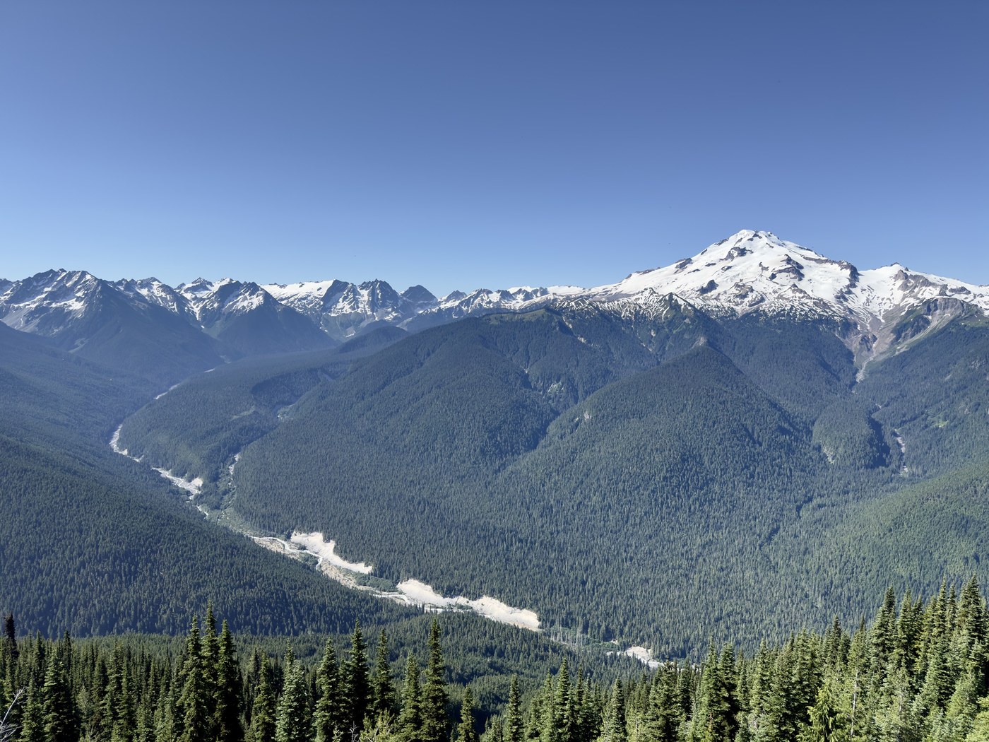
Like most people on Saturday, I did the full 32 miles in 2 days.
The lake and the Glacier Peak are gorgeous but the lack of views for the majority of this trail, the very long distance, and the rampant mosquitoes at the top made this trip less than enjoyable.
Like other reports pointed out, the roads and trails are all in great conditions. There are about 10 miles of rough road that you have to drive very carefully to avoid potholes but nothing majorly bad. The trails are mostly flat for the first half, then two sets of switchbacks that’d be hard to tackle at the end of a long day. Still relatively gradual ascent though.
I ran into maybe 3 PCT hikers, then the trailhead registry shows only 10 other groups (mostly solo hikers) who entered on the same Saturday as me. Plenty of campsites near the lake. Miners Ridge Lookout currently occupied by FS employees. No campgrounds nearby.
Plenty of water-filling opportunities at the first half of the flat trails. Once the mountain starts to face south, streams dry out. There won’t be water sources for the majority of the switchbacks. So plan accordingly and fill your water bottle rigorously. It’s hot out there in July and you’d need a lot of water. I count myself filling up my 1L water bottle at least 4 times each day and regretted not filling it more before entering the switchbacks.
Mosquitoes are bad bad bad near the lake… I must have gotten 30 mosquito bites just for trying to cook near my campsite. And I was in the lower basin, supposedly further away from the water.
As only a beginner for super long hikes, I started 11am on Saturday and got to campsite at 12pm. Didn’t get to see the Glacier Peak in full sunset glory but did see peek-a-boo views in the trees.
My advice: don’t be like me. Do this in at least 3 days. There are plenty of campsites along the way. You don’t get to see a lot until you reach the top but at least you are in nature.
Trip Report
Suiattle River Trail, Image Lake via Miners Ridge — Saturday, Jul. 13, 2024
 North Cascades > Mountain Loop Highway


Comments
SpruceMoose on Suiattle River Trail, Image Lake via Miners Ridge
Sadly this might be the last image of Image Lake as we have known it.
https://www.fs.usda.gov/alerts/mbs/alerts-notices/?aid=89031
Posted by:
SpruceMoose on Jul 22, 2024 10:00 AM
jupsal on Suiattle River Trail, Image Lake via Miners Ridge
It does not look to me like the fire has gone that far east to the lake. I think the lake is fine.
Posted by:
jupsal on Aug 26, 2024 06:02 PM