
When I saw that it'd been five years since the last trip report, I decided to check out this trail. I hiked from the trailhead to the PCT & back. According to my Garmin, I hiked about seven miles and gained & lost about 2120'.
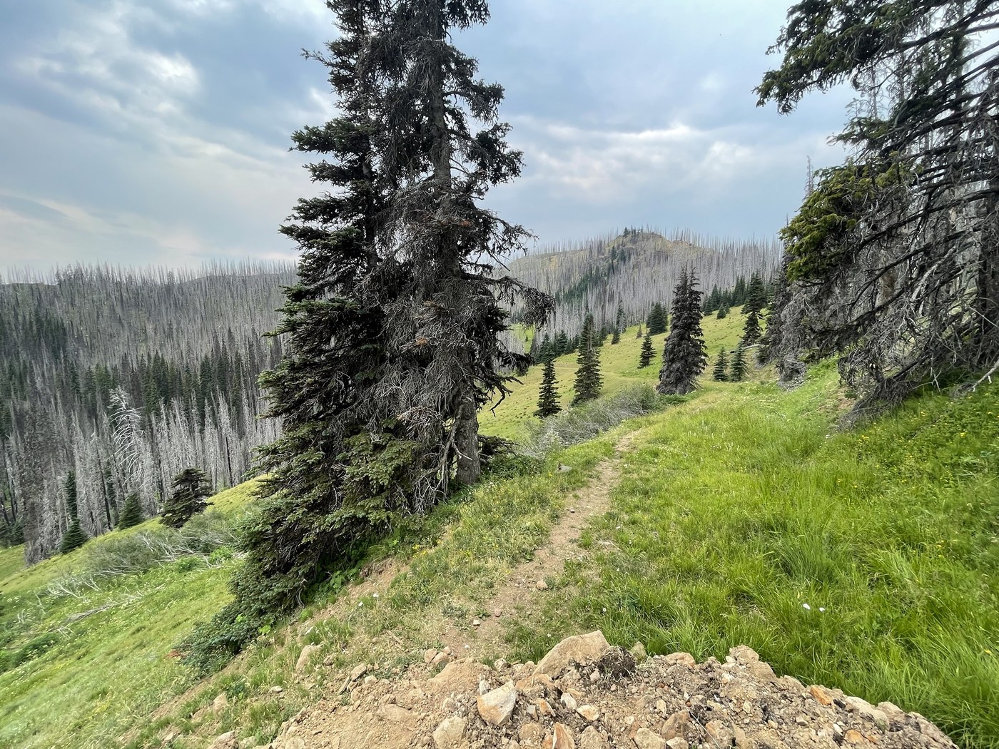
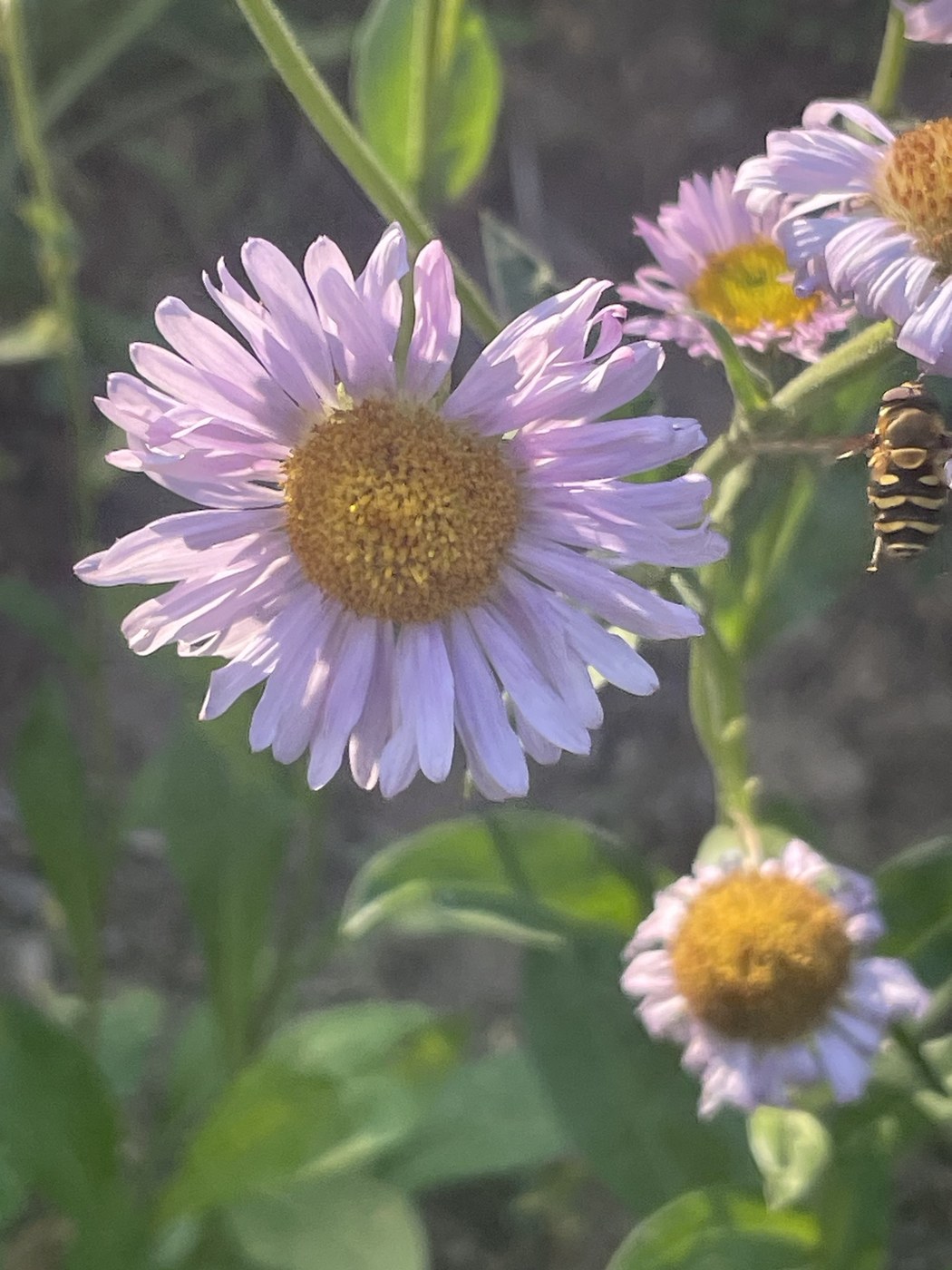
Why hike this trail? Solitude. Wildflowers. Wild strawberries. Views. A chance to watch a forest recover from a wildfire.
Why skip this trail? The trail is in poor condition in places. Long stretches without shade. Almost no safe campsites.
The last five miles of the road is rocky & has numerous deep potholes. This area is very popular with ORV enthusiasts, so if you're going up on a weekend expect a fair amount of vehicle traffic. All but the lowest-clearance passenger vehicles should be able to navigate this road, but there are places you'll want to pick your line carefully. I used the WTA app's directions in my phone's mapping app, and they worked perfectly.
Although this hike is noted for its views, I didn't get much of that because the day was hazy & almost overcast when I arrived at the trailhead. All I could see of Tahoma was a bit of its lower flanks. But my truck's thermometer said it was 74F, and I felt a few sprinkles as I was donning my pack. It's in the triple digits in the Lower Columbia Basin, so mid-70s & the chance of rain sounded heavenly to this desert rat.
The trail to the junction with the Cougar Valley Trail is an old road bed. You lose elevation the entire way there. About a quarter mile in is a rough trail off to the left. It's a shortcut shown on some maps. I skipped it on the way down but I took it on the way back to the trailhead. I'm glad I didn't try going down it as it's steep & the trail is loose, ashy soil in places - exactly the kind of trail that I lose my footing on.
At 1 1/3 - 1 1/2 miles from the trailhead, there are several springs. They're currently flowing. They're not shown on any map I have. There's a significant slide in this area. Others have picked a route through the detritus; stick to the downhill side of the pile. If you're visiting this area after a heavy rain, I'd use extreme caution as the pile does not look very stable.
The old roadbed dead ends in the vicinity of the junction with the Cougar Valley Trail. The Cougar Valley Trail is to the left, and it's easy to see. The Ravens Roost Trail is non-existent. It looks like a large tree fell over the trail. There's currently a game trail/foot path through thigh-high flora. I followed it and I soon found the old trail. If the game trail isn't visible, head uphill to the right of the fallen tree and keep looking for the trail along the stand of trees to the left.
Much of this trail is in good condition and easy to follow. It's obvious the local fauna are using it on a regular basis. In some places, it's hard to find, but I never lost the trail for more than a moment. There are numerous hiker re-routes around down trees. All of the trees over the trail were easy step/climb overs, although I did get a fair bit of soot on my trousers.
At about 2.6 miles from the trailhead, there's a little seep pond downhill a ways from the trail. One could likely get to this pond to get water. It's probably also an excellent place to watch for wildlife as there's not a lot of other water in the area.
The trail in places is ashy, soft dirt. In some places, it's loose, shale-like rock. It can be tricky footing, and I was very glad for my trekking poles. (I have cartilage damage in one knee, and I live in terror of falling & twisting my knees.) It was slow going at times.
Although my report may sound less than glowing, I'm likely to return to this trail. I enjoy the solitude, and I can tell that with different climactic conditions the views must be amazing. It's worth considering this trail if you are up for the challenge. I highly recommend long trousers as there are places I was wading thought hip-deep vegetation.


Comments
Browneye77 on Raven Roost
Hiked this yesterday but took the Cougar Valley trail to Crow Creek Lake.
This is an excellent description of the trail and access. The road to Ravens Roost is worse now, winter driving damage is pretty extensive, potholes are rather large - I was glad I had my 4WD truck.
The landslide a half mile in could be really dicey with a horse.
One thing worth noting is the entire trail goes downhill, so it’s a pretty easy hike going out. Getting back is a different story - any hikers lacking stamina could have a very difficult time on the return leg - GAIA gave me 8.2 miles and 1600’ of elevation gain.
Cougar Valley trail has been re-routed, presumably after the fire. On the return leg I thought I would try to find the original trail as mapped, which was a huge mistake. It is impossible to fine, and I ended up cross-country on animal trails trying to find either the original or new trail I took out. It got really nasty, hundreds of windfalls, even a bog or two horses had gotten stuck in. Stick with the main (new) trail, it’s easy to follow and in good shape.
Posted by:
Browneye77 on Aug 03, 2024 05:45 AM
HillSlug on Raven Roost
Thanks for the tip on the Cougar Valley trail. I plan to hike that trail.
I'd wondered about how horses would handle the slide area on the Raven Roost trail. I'm sure other horse folks will appreciate your input.
Posted by:
HillSlug on Aug 03, 2024 10:42 AM
Browneye77 on Raven Roost
Best thing for sure was not a soul for miles. Trailhead parking was empty.
I always scout for good campsites for a potential future overnighter or more - really not much out there. There are SO many windfalls. Crow Creek Lake is completely surrounded by burnt standing trees.
It might be well worth trying a loop out to PCT and back either trail. Just not sure what's out there.
Based on the tracks on the trail it seems the elk get more use of it that people or horses. LOTS of BIG droppings.
Posted by:
Browneye77 on Aug 03, 2024 11:06 AM