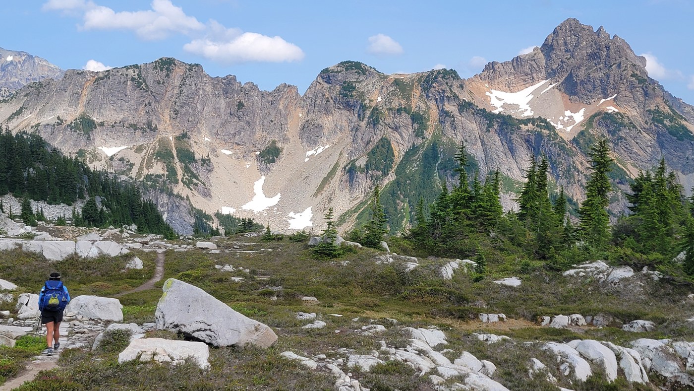
Woah. I can't believe I've never hiked in this area of Alpine Lakes Wilderness before now. I'd heard of the Necklace Valley before, but only recently did I come across GPS tracks for an "Alpine Lakes High Route". It surpassed my expectations, but it's not for the faint of heart. We walked counter clockwise (CCW)
TLDR; stunning lakes, breathtaking peaks, pika galore and slow miles. Lots of off-trail scrambling on this route, and when there is trail, it's pretty rough. Expect the occasional blowdown and twisted ankle. Bugs weren't bad.
My partner and I left the West Fork Foss trailhead around 6:40 p.m. There were maybe 30 cars in the parking lot, with more arriving. The trail to Trout Lake and onward to Copper Lake is in good condition, if not a little steep in some sections. Pay attention to the fun bridge and massive old growth tree; it's probably the biggest I've seen outside of California. Lots of campsites were taken at Copper, especially in marshy areas right next to the lake. We opted for a quiet flat spot up the trail and in the trees.
The trail is steep coming out of Copper, and past Big Heart Lake it begins to get a little scrambly. Keep an eye out for cairns as the trail climbs into stretches of granite alpine zone. Upper Chetwood is probably the last solid spot for reliable camping until closer to Tank Lake. The next few miles are incredibly slow (some parties estimated it took them 7-9 hours to traverse), so budget your time accordingly.
The trail is a mixture of rock hopping and balancing to Iron Cap Lake. Follow cairns, take the dirt path when you can (as long as you stay on route) and check your map for topographic features you notice in your environment. Iron Cap Lake itself is one of the coolest lakes I've seen in the state. We only saw 2 other parties through this entire stretch.
CCW, the trail goes through a cliffy section. I didn't think exposure was too bad, but it would be incredibly dangerous if you were off route. Follow cairns to a stony basin, just south of Tank Lake. I couldn't find the cairn path down, but bushwacking wasn't too tough here. Luckily, views here are incredible.
Tank Lake was fairly crowded, and understandably so. The hike down towards Necklace Valley is out of this world, but also incredibly eroded and rocky, so take your time. We averaged barely over 1 mph this entire day. Even once we were back on trail, it was incredibly steep (barring the Necklace Valley itself). We slept about 2 miles north of Necklace Valley, along the steep decline.
The river walk back to Necklace Valley trailhead is pleasant, and there are bridges across all significant crossings. The trailhead itself was provisioned with toilet paper and garbage cans. Hiking back to our car along the forest road was quick, and we were back home around lunch after a quick visit to Sultan Bakery. I recommend the cinnamon cups.
Day 1
Distance: 4.83 miles
Elevation gain: 2,513 feet
Day 2
Distance: 13.37 miles
Elevation gain: 4,501
Day 3
Distance: 8.57 miles
Elevation gain: 528 feet


Comments