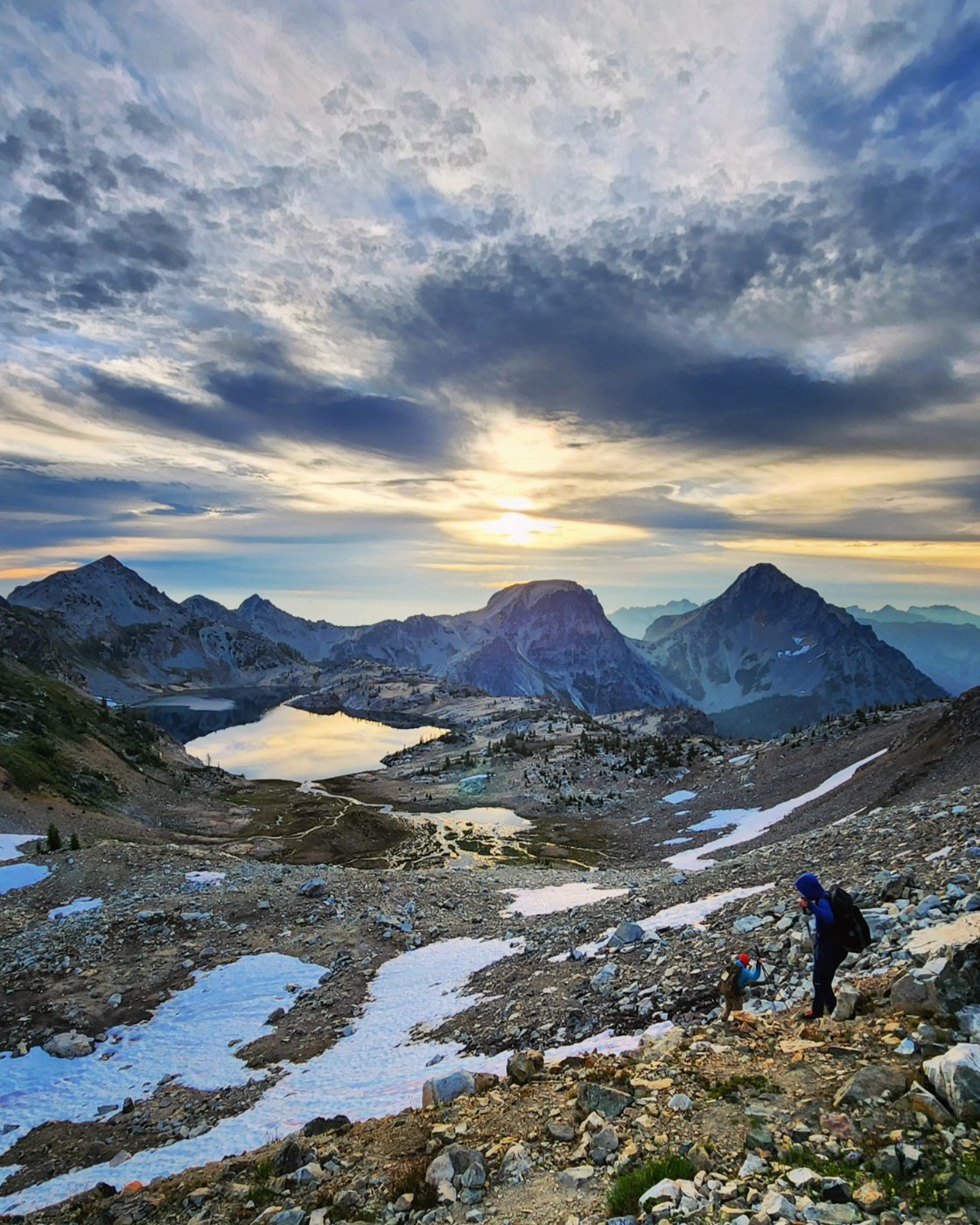
Climb of Mt Maude, with camp along Carne High Route from 8.3-4 2024.
ROAD: Bumpy, some rather rocky stretches, rough, and rutted. Made it in our Subaru Forester, but of course there was a Tesla at the TH (and not the truck version, either). No outhouse or facilities (can we petition to have one put in at this very popular TH?). Parking was more full than we expected!
CARNE MOUNTAIN: This trail was in pretty good shape with one or two blowdowns and some brushy spots. It was a steady climb, first through forest, and then more hot and exposed. We were more than ready to refill our water bottles at the creek in Carne Basin. Huckleberries are happening, though! From there we slogged up to the saddle, dropped packs, and tagged the walk-up summit of Carne.
CARNE HIGH ROUTE: From the pass, we began the ups and downs of the Carne High Route. It was fairly straightforward to follow, which I found pleasantly surprising as I was expecting it to be rougher/less-defined. We were feeling the heat of the day as a lot of the trail was exposed to the sun, and we ended up deciding to camp near Box Creek at around 6,500'.
The trail at this point hit a junction and split off to the right - there were some large cairns marking the way, but the trail itself was not obvious or well-trodden and looked like it kept going straight.
MT MAUDE: The next morning, we decided to get an early start to beat the heat and left camp at 5.15 a.m. The rest of the high route to Freezer Pass was definitely a bit more rugged than before, with some sections of undefined trail and route-finding through boulders, rough and rocky sections, and traversing across steep, loose hillsides.
From Freezer Pass, we descended a little bit before hopping rocks over towards Maude and managed to find a bootpath that was fairly easy to follow through the rocks and scree. There was some flowing water through this rocky area. There were some patches of snow, but could all be avoided or walked over with ease.
It was a bit loose and steep gaining the ridge, but from there the bootpath got even better, and it was a straightforward slog to the summit through some very pretty wildflowers.
We enjoyed our summit views - distant peaks obscured by wildfire haze, but still a beautiful spot.
We retraced our steps for the descent, headed back to camp, and hiked back out the way we had come. I would say that doing the loop down Leroy Basin would be faster and easier, as it is a bit shorter and doesn't have the elevation gain on the exit that the High Route has - but such is the price we paid for not hauling full packs up to Freezer Pass/Ice Lakes!
BUGS: Horseflies were aggressive and super annoying - I often had 3-4 huge ones circling me. There were also smaller biting flies and just a few mosquitoes.
WANT MORE PHOTOS? Follow along on instagram @thenomadicartist for more adventures! 😁


Comments
Between two ranges on Carne Mountain High Route, Carne Mountain, Mount Maude
We’re planning to do this next week and was curious did you wear helmets through freezer pass and on the summit to Maude? I’ve read reports saying there’s quite a bit of rockfall. Thanks!
Posted by:
Between two ranges on Sep 25, 2024 01:04 PM
thenomadicartist on Carne Mountain High Route, Carne Mountain, Mount Maude
Nope, no helmets on this trip for us as we felt the terrain on Maude didn't necessitate it.
Posted by:
thenomadicartist on Sep 25, 2024 03:53 PM