

"This hike would be awesome if they'd get rid of some of these rocks!" - Me, partway through this hike.
Seriously, if you don't like walking on, around and over boulders, this is not the trail for you.
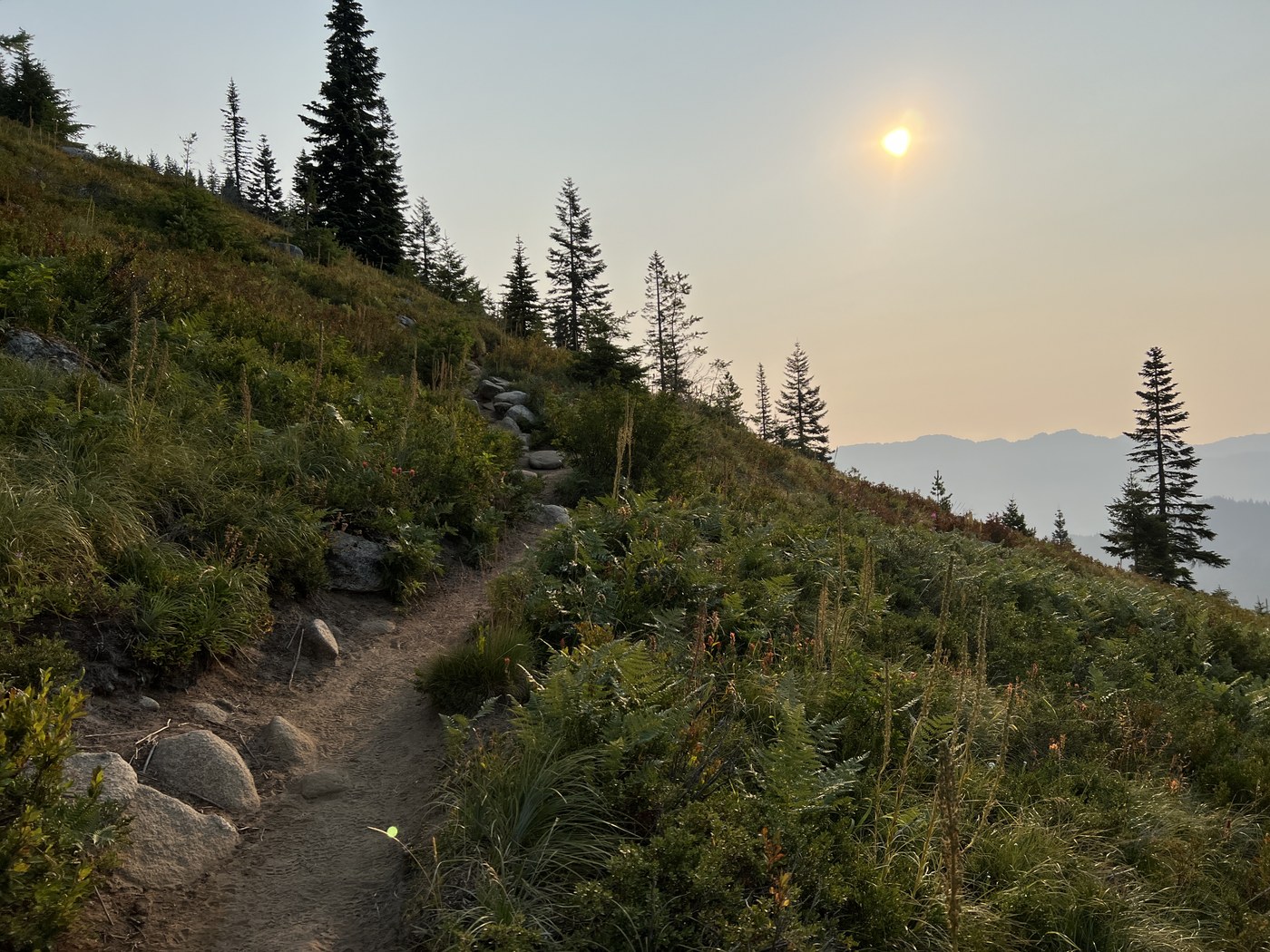
Arrived around 6am, parking lot half full, and there were a handful of groups already heading up the trail. Fortunately, they all went to Pratt Lake and we were the first folks up to the top. Garmin had total distance at 8.5mi, elevation 3665ft, total time 6:18, moving time 4:06 (50min of "official" breaks, so I guess those momentary stops really add up!). When we got back to trailhead, lot was full, cars parked all along the access road and some folks were parked on the I90 ramp too.
Trail: The last 1-1.5mi through the meadow/riverbed & before you break out above the trees has many spots that are hard to follow. You might want a map and/or a GPS track. There aren't any signs after "main trail", and I didn't notice reflectors on any trees either. There are many choices that are going in the same general direction (up), and I'm not sure if they always converged or not. Since there's no route finding mentioned in the description, maybe they do?
Trail conditions: Very dry & dusty. A few very tiny water crossings.
Gear: Poles are always a good idea. Especially on steep, dusty/rocky trails where it's easy to lose your footing & start sliding. I'd suggest people carry 3L of water, especially if you're going up in the afternoon. I only had 2L and regretted it.
Wildlife: Saw a few grouse (pointed out to us by another hiker), and a chipmunk. Lots of butterflies.
Other: Somehow, the return trip seemed a LOT longer than it was on the way up. YMMV

Comments