Virgin Lake to “Blueberry traverse” - We found the climber’s boot path that starts at Virgin Lake was straight forward to find and follow to 5500’ where you drop down to the talus field and the west side of the ridge (as described in Summipost). Got stung on the way down just above the lake after disturbing a wasp net. At about 4800’ (200’ above lake) there is a nice spot to camp, no water. There are several steep parts requiring veggie belays beginning at around 5000’. There is a very nice camp spot on the ridge at 5400’ with great views but no water source at the moment. On the ridge you will enter a small burn area, the boot path drops slightly to west side of ridge to get around fallen/burned trees. Once we saw the talus field on the west side of ridge, we dropped down and followed a faint boot path slightly above the talus field and never dropped down to it. However, we could also see a faint boot path lower that goes right through the talus field (but again, we stayed high). Not sure if the lower path was better or not. Once we passed the talus field we began what some have called the “blueberry traverse”.
“Blueberry traverse” to basin at 6200’ below the summit ridge –
The boot path beyond the talus field was difficult to follow. Easier to follow through the blueberry patches, but impossible to follow through the trees. Basically we stayed at 5300-5400’ (skirting around point 5800’) and did a combination of bushwhacking, jumping from tree to tree and side-hilling on blueberry bushes and slippery pine duff and following faint trails that may have been just game trails. This part slowed us down the most and was the most challenging for route-finding. Once we were traversed beyond point 5800', we somehow found the faint boot path again. When the boot path looks like it goes into trees, look above and behind you because you might find steep, tight switchbacks up the ridge. You will eventually leave the ridge again and do a rising traverse through scree and talus around 6200’ into a large open basin below the ridge that leads to the summit. You are now above treeline.
6200’ basin to base of summit –
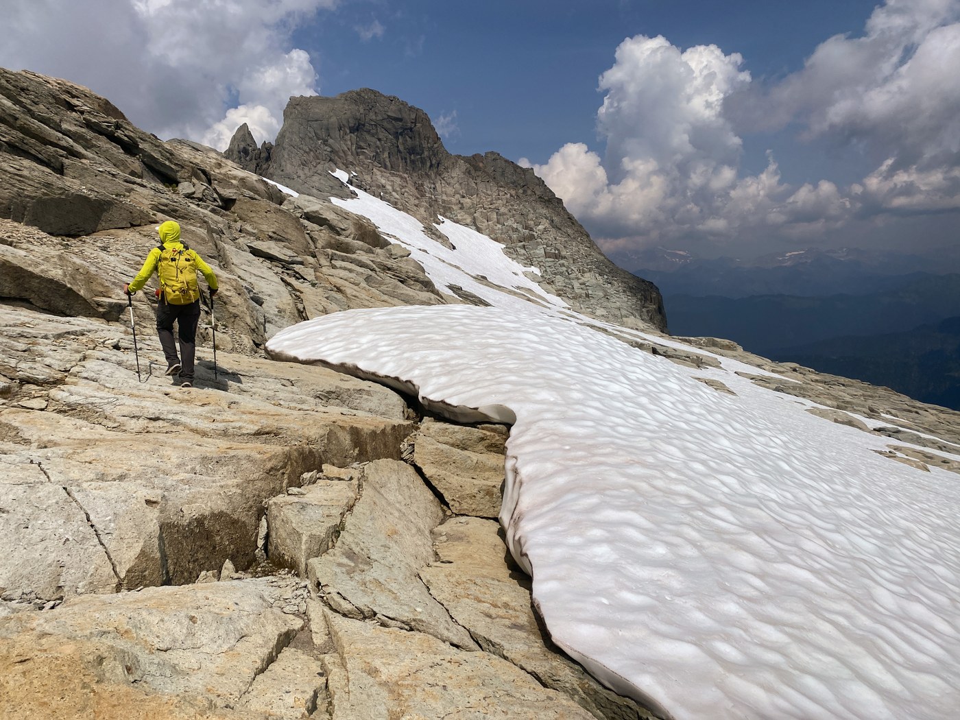
If you’re looking for water, the basin was full of it. Lots of snow left. Beautiful pool of water to filter from and several sources of flowing water from snow melt. From here, the way up to the ridge is pretty obvious we did not find a boot path on the way up, but followed one on the way down. Once on the summit ridge, there’s snow but easily avoidable.
Summit block scramble –Scramble up to summit was pretty easy and the loose gravel over rock wasn’t a huge issue. However, the loose rock made the descent pretty slow and the pucker factor was rather high.
Overall, a great scramble and full-on alpine adventure. Allow lots more time than you think. The descent took us almost as long as the ascent. The crux of this scramble is the blueberry traverse. If you can avoid the bushwhacking and find a boot path though this entire section (if it even exists) it would save you a TON of time and energy. Arrived at 8:00a and the trailhead was already full so had to park down the road. Lots of people already on the trail - I can't imagine the total shit show that happens at Barclay Lake on Saturdays. Fortunately, once we were past Virgin Lake we did not see a soul.
I tried to document key points of the route. I have posted additional pics at the link provided. 13 miles RT, 5800' of gain, 13 hours (including summit time). New fire spotted a few drainages east of the summit.


Comments