We hiked the Alpine Lakes High Route counter clockwise over three days.
The Necklace valley trailhead only had one parking spot when we arrived on Thursday. We road walked to the west fork quickly. The trail up to copper lake went by quickly. There were edible mushrooms if you know what you’re looking for and we began to see more berries the higher we went. We continued on to Big Heart Lake and even though quite a few parties were camped there, we were able to find a private site with a view of the unreal blue of the lake. Clouds and fog swirled around the peaks and trees as we made dinner. This was a nice site even in the clouds and potential rain.
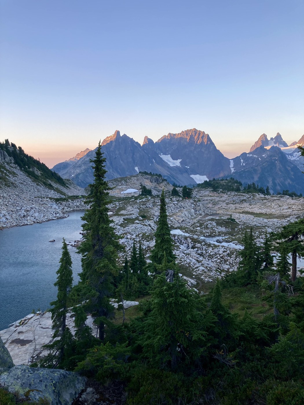
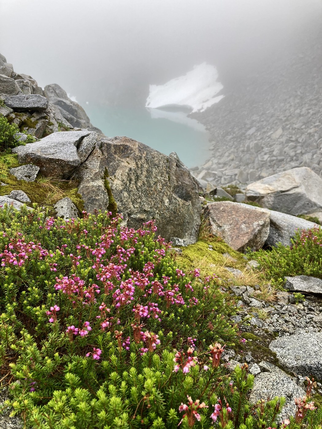
During the night it rained and we woke to clouds so thick we could barely see the lake. But we pushed on hoping they would lift and the rocks wouldn’t be too wet. Thankfully the brush wasn’t too wet, and the short steep rocks between us and Chetwoot lake offered good grip. The tarns and flat granite before Chetwoot would make nice campsites. Berry eating slowed our travel as did a nice break at Chetwoot. Beyond the lake the route truly becomes more of an off trail adventure. However all the tools of navigation were present and we felt pretty confident even in the socked in conditions. Intermittent paths, cairns, and Gaia gps all helped us navigate easily albeit a bit slowly in the conditions. The ups and downs were painstakingly slow and the lack of views were disappointing. Upon making it to Iron Cap Gap the clouds finally started to bubble away and the views began to open up. By the time we were at Tank Lakes we could see blue sky and distant peaks. This is a truly nice place to camp, and I hope tor return. Rolling granite, tarns and alpine park lands abound.
The next morning we woke to totally clear skies and the views across to Overcoat, Summit Chief Mountain, and others were ample reward for all the time spent in the clouds the day before.
Heading down to Necklace valley was steep, and loose at times, but the views remained beautiful and the navigation was easy. The forest from
Jade Lake to crossing the Foss river had some very nice Alaska Cedars. after crossing the river there were some truly giant trees of different varieties as well as more mushrooms to spot. The final miles past alturas lakes were not super interesting, but we were also tired and ready to be done.
I feel like this loop could be done with similar difficulty in either direction. Probably simply matters where you want to camp and on which days. I’m so glad we had our clear night at Tank Lakes. The technicality of the off trail section never felt particularly intense, mostly just boulder fields and making sure you’re on the right path. I’m glad we pushed through, even with the less than ideal weather.
Trip Report
Tank Lakes, East Fork Foss - Necklace Valley & West Fork Foss River and Lakes — Thursday, Aug. 15, 2024
 Central Cascades > Stevens Pass - West


Comments