Two night, 3 day clockwise “lollipop” loop starting at Pete Lake trailhead.
Summary:
Day 1: Afternoon start, Pete Lake to the PCT/Lemah meadows camps about 7.5 miles, maybe 500-600 feet net gain.
Day 2: just 5.3 miles/2300 feet elevation gain up the PCT to the top of Escondido Ridge where there is a beautiful little lake and out Day 2 camp: this alpine tarn was our main objective for the hike. It seems to have been given the name Vista Pond or tarn, but not named on maps. There are actually a couple little lakes, we saw the second from above rambling around.
Day 3, continued 3 miles northbound along the PCT and along the ridge to the turnoff for the lightly used Waptus Burn trail # 1329C, which we followed to the broad forested area called Waptus Pass, and the T intersection with the Waptus Pass trail # 1329. Took a right (south) on this back to Pete Lake, then back the 4.3 miles to our car. About 12.4 miles for the day.
More details: We arrived at Lemah meadows around 6:30 (fyi you don’t really see the meadows unless you go into the first camp on the right, sometimes called the stock camp, and the marshy meadow is next to that). We didn’t get to that camp until 6:30, and one or two solo campers were already there. But by 8:00 all three camps at Lemah meadows were filled up completely with PCT hikers. Fun to talk to them, it was a very social evening. A very few mosquitoes. No horseflies now, as mentioned in a previous report.
Next morning took our time climbing the 2300 foot south facing ridge to the tarn. Mostly very well graded. Best done in morning as shade becomes more scarce at the top. Plenty of Section J hikers and northbound PCT hikers, many of whom commented that the 25 miles from Snoqualmie Pass to there were pretty hard miles. Got the tarn early afternoon and set up camp. Gorgeous spot. Explored, swam, camped, stargazed, watched the sunrise. About 4 parties there for the night. A few bugs, including flies and mosquitoes, used a little bug spray but basically a non-issue.
Day 3 got going fairly early, we followed the PCT along the ridge 3 miles to the Waptus Burn trail to complete our loop. So many views, high alpine feel, very pretty piece of trail.
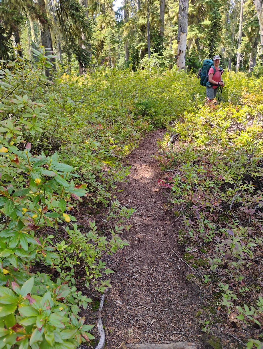
Waptus Burn to Pete Lake: Adding extra description here since there aren’t many recent reports for this part of the loop. I wasn’t sure what to expect but really enjoyed these trails and they didn't seem overgrown. Waptus Burn trail 1329.3 is narrow but easy to follow, looks well maintained with only one easily bypassed blowdown. It goes along the ridge for a bit with a short steep drop here and there followed by a level section with a number of nice looking campsites and TONS of perfect berries, but absolutely no water. It continues through open forest to our lunch stop at the well marked intersection of the Waptus Pass trail coming up from Waptus Lake. Took a right (south) on that. At the intersection with the side trail to Escondido Lake trail there’s a nice clear stream and a good campsite. Within a quarter mile or so there’s another stream crossing with a small, charming waterfall. Before long the trail plunges down a steep set of south facing switchbacks, many with somewhat loose footing (thankful for both trekking poles and shady spots on this unusually warm day), before leveling off in the forest just before Pete Lake. Other than the loose footing this trail is in great shape with no blowdowns or overgrowth. According to Green trails it’s about 5 miles from the PCT to Pete Lake using this route. The 4.4. miles out from Pete Lake to the trailhead were hot and busy and car thermometer registered over 90 degrees in Roslyn on the way out. Total stats were about 27 or 28 miles including some rambling near the tarn.


Comments