ROADS. Potholes are manageable with appropriate care on the first dirt road segment. The second/last is the 3.9 miles following your turn onto 2904. Potholes there are not bad, but there are several sharp dips in the road to keep a sharp eye out for and pass through very slowly. Just possibly a low clearance car would have trouble?? The TH for Juniper Trail No. 261 (opposite side Tongue Mountain) is clearly marked on your right, with a large parking space on the left. (My Google Maps wanted me to go a mile or two further ... nope.)
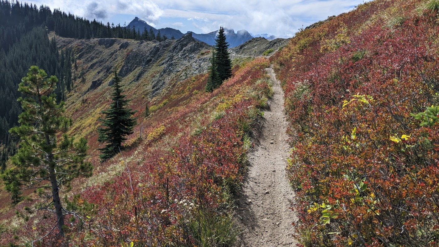
THE HIKE. Solitude: on this Thursday, I saw just one person, coming up on a dirt bike (gas motor) around 6pm. From the TH I hiked to Sunrise Peak, then back to Juniper Peak, then back to the TH. Per GAIA, about 14 miles and "ascent" (total elevation gain) about 3300'. View from the two peaks are fantastic -- Adams, Rainier, St. Helens and Hood all clear. Some lovely red color is out, and will keep getting better. Good fun to look at Juniper Peak from Sunrise Peak, and then Sunrise Peak from Juniper Peak. On the way in, after you pass below Juniper Peak heading south, you see on your right an obvious steep path up an open hillside -- that is your path to Juniper Peak. Poor quality, but quick to the top, where there was no alternate used path heading down. Views from Juniper and Sunrise Peak are similar (Adams better from Sunrise, Rainier from Juniper), apart from the interesting looks down into the watersheds.
DETAILS. The first couple miles of the hike are forest. Then Adams appears! but then views are peekaboo at best until pretty close to Juniper Peak. There's a great half mile or mile of open ridge, then you lose 700' and a lot of view, bottoming out in a meadow below lovely rock faces. Then you have a rather extensive stretch in trees on a steep, rather torn up trail (where I broke out the trekking poles). Not very much farther, after you've lost view of Adams, you hit an obvious bifurcation. Trail 261 continues to the right, to pass around Sunrise Peak; your path up to Sunrise is that unmarked path on the left. Follow it up to the final short climb/walk to the top, made easy by a super secure metal railing.
TRAIL QUALITY. Apart from that long bit below Sunrise, and the path up to Juniper, it's a trail for making good time. The trail is multiuse. Where the trail is very steep, I guess it is more a challenge to maintain trail quality with the dirt biking.
LOST POLES. I forgot my trekking poles on the ground in the TH parking area. Aged by many hikes, extension numbers worn away, just a couple black streaks added to mark 130" and 135". I'd be happy to recover them, or just for someone to put them to use.


Comments