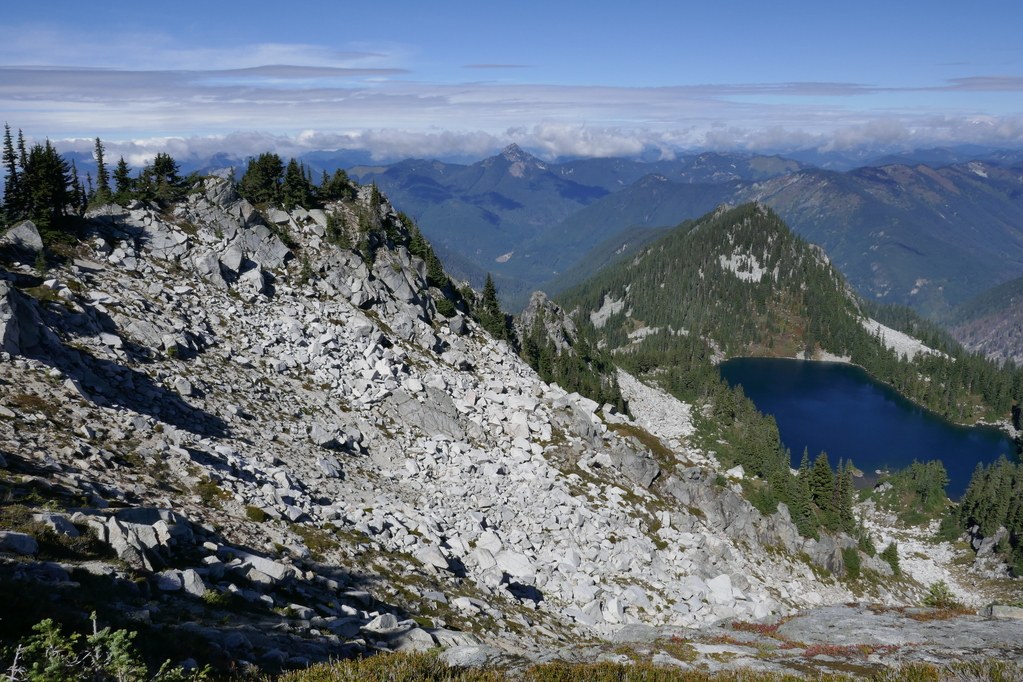
I've only been up Spark Plug in the winter as a snowshoe trip - with heavy cloud cover obliterating any views. So when I noticed a trail on CalTopo from Pieper Pass to Spark Plug I thought this would be my chance! Trip reports have been few and far between, which only increased its appeal. That trail not being on older map sources was a minor concern, so I wore my tougher boots rather than trail runners.
Starting from the Surprise Lake TH I made good progress getting to the base of the switchbacks ascending to Pieper Pass: 6 miles and nearly 3000' up in 2:40. After a brief food/rest break I started up the moderate switchbacks, though with stopping for a few of the great views I was a bit slower.
At the pass the faintness of the way-trail leading in the right direction out the ridgeline was an early indicator of what was to come. It was pretty brushy and frequently disrupted by downed trees and columns of large boulders that made following the "trail" quite the hunt. The "minor obstacles" description is for the regular trail, not this route! A few times I ascended to the spine of the ridge, only to get cliffed-out and forced to drop again. About a quarter-mile from the summit I ran into such a confusion of rock and trees and brush that I nearly turned around. Fortunately shortly after than it became much clearer and the remainder of the route was fairly easy. And the views from the top? They were great!
There were so many mushrooms! (need a new category in "Highlights"?). Just a few flowers: Hare's bluebells and a tiny minority of fireweed were still blooming.
This is not the first time I've found "trails" on CalTopo "map-builder" to be works of imagination.
Stats: nearly 16 miles, 4700' vertical. It took this geezer nearly 8 hours.


Comments