TLDR; second half of the trail is difficult and mostly elevation gain on rugged trail. Parts of the trail are hard to find, but cairns help with navigating. Detailed map, poles, and good boots are necessary to safely traverse the Monte Cristo - Twin Lakes portion of the trail.
This trail is no joke but boy is it worth the work! The first 4 miles are a peaceful meander through the woods to get to Monte Cristo. The river ford is well marked with bright tags on the trees, and not difficult to navigate this time of year. We camped the first night at Monte Cristo Campground, and it was so relaxing. The townsite is so interesting to check out. One warning is there is a lot of broken glass everywhere, especially on Dumas St., from all the collapsed buildings. So for those with dogs, definitely be careful and check those paws!
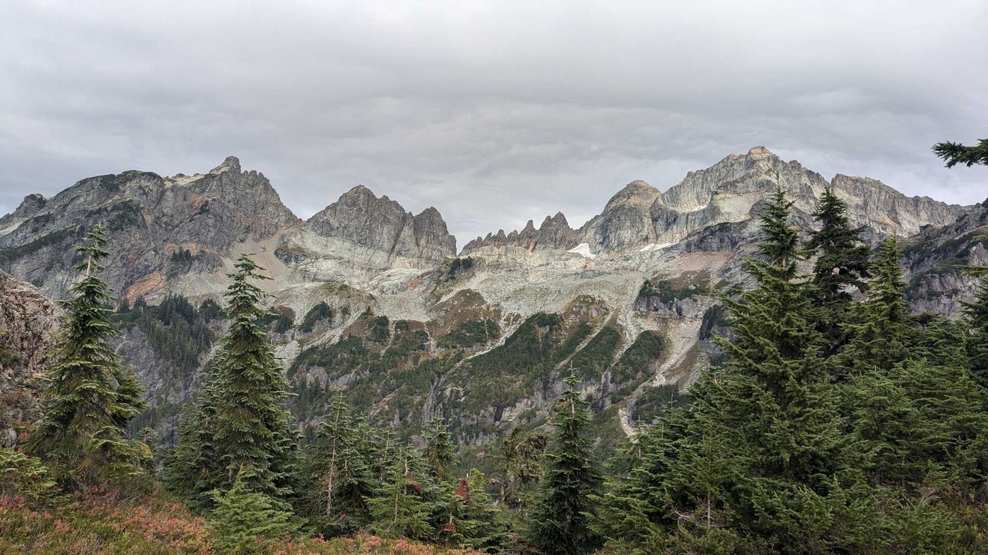
Day 2, we went from Monte Cristo to Twin Lakes. The first 2 miles are straight up (~1500 ft elevation) to Poodle Dog Pass. It was pretty brutal, and took us about 3 hours to make it up (my usual pace is a little under a mile and hour so this was extra slow lol). A good water source is about halfway up (water is contaminated with arsenic from the morning operation at lower elevations). We had lunch at poodle dog pass and enjoyed the views of Silver Lake and Wilman's Peak.
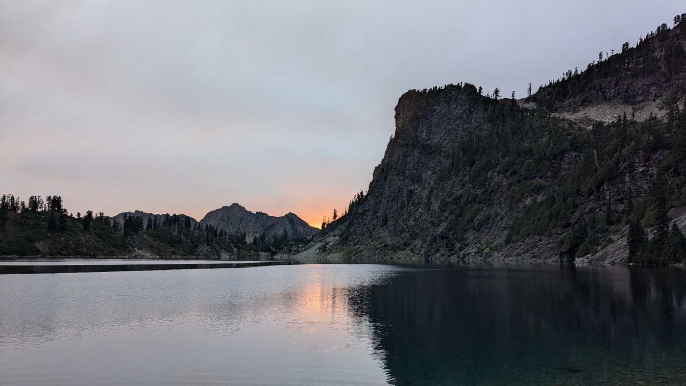
We then set out for the next grueling 2.5 miles to get to twin lakes. This trail is primarily uphill, with some ups and downs, and some precarious ridge walking. The pikas were very curious about us and we got to see so many!After getting to a beautiful panoramic viewpoint, the trail becomes tricky to find. There are a few different paths established, each with its own challenges. There are cairns marking the path here and there so keep your eyes peeled. There is an upper path we took on the way back down that involves scaling a small wall (easier going down than up, which is why we didn't take it on the way in). After climbing to the top of the smaller twin peak, we were rewarded with beautiful views of the Cascades. Soon after we made it to the lookout over the twin lakes and it made it all worth it. The next half mile was a steep climb down to the lake. We camped by the dried up creek inlet to the lake and got to see a gorgeous sunset. It took us a total of 7 hours to get from Monte Cristo to Twin Lakes (4.5 miles, 2600 ft elevation difference between townsite and the peak overlooking the lakes).
Saturday night, a pretty intense storm rolled through, whipping our rain fly off its stake and pelting our tent with hail. It died down long enough for us to take everything down in the morning and quickly turned into a snow storm. This trail is very slick in any sort of precipitation, and we did not bring any micro spikes or tracks (we almost did but decided not to, which was a bad call). We took the first bit slow and had to do some technical moves at certain points. It took us 8 hours to go the 8.5 miles back to our car, including the time we took for lunch and snack breaks.
Overall, this trail was WAY outside my comfort zone. It challenged me physically and mentally, and made me dig deeper than I thought I could to push through the fear and exhaustion. I know this sounds super dramatic, but my husband, who has been on too many backpacking trips to count, admitted this was one of the most difficult trips he's done. All that to say, it's doable and sooooo worth it for the experience. For the weekend warriors like me, come prepared with poles, real hiking boots (tennis shoes may not have enough grip or support), and means to track your progress and navigate the trail for those questionable spots. For the pros who didn't get their butts handed to them by this hike, I am in awe of you and aspire to get there someday!
Anyways, happy trails all and enjoy this hike for it's highs and lows 💙
Trip Report
Twin Lakes - Monte Cristo — Friday, Sep. 27, 2024
 North Cascades > Mountain Loop Highway


Comments
Sabahsboy on Twin Lakes - Monte Cristo
Backpacked to Twin Lakes years ago. Crossing river was easy, then as was reaching Poodle Dog Pass. The winding, Elevation gaining tread was an adventure!
Several dead ends encountered with drop offs. The descent to Upper Twin Lake was easy and a fine camp was made. Next morning, weather had turned and required a quick exit, omitting visit to Lower Twin Lake. The mass of peaks rose from Upper Twin, a disappointment to not explore viewing possibilities. The crossing of ridge was precarious and descent to town site, first visited by car in late 1970s, easy. Exit out to parked vehicle went well until I discovered extensive damage to my vehicle, smashed windshield. Car at my left was far worse, wiring ripped from ignition, etc. Car at my right was similar. Party emerged from trail to discover their car's contents missing, including wallets. Police had left a note in my vehicle so I could drive it legally since there is no phone service at the site. So it was I drove home to Seattle, sans windshield in rain.
Posted by:
Sabahsboy on Oct 01, 2024 04:11 PM