Was incredibly excited to check this one off the bucket list! Arrived ~9 PM night of Sat. 10/5 w/ a friend. The dirt road on the approach has a few deep potholes and washboard spots, but we were OK in an SUV. Lower clearance vehicles should go slow. Was worried about finding a spot for my friend to pitch his tent, but there were several open grassy spots right off the loop available even at this late hour. I had no issue finding a spot to park my SUV that I'd be sleeping in. Clear, crisp night and the stars were OUT. Lows in the upper 40s. Was impressed at how quiet and calm the trailhead was tonight, despite the fact that there had to have been at least 30 cars in the lot. No doubt everyone resting up for the next day. I noticed that a few sites have fire rings that people were making use of. There are also (2) enclosed pit toilets. Make sure you post your recreational pass on your vehicle - when we printed a permit it came with a special page that served as our pass.
Woke up at around 6 to most of the parking lot already up and mobilizing. Set off ~7. The first 2 miles are beautiful forest, pretty open. Confidence running high here ;). We got to watch the golden light of sunrise illuminate the trees as we ascended and you get sneaky peeks of Adams and Hood at a couple clearings. (Due to recent reports of some tectonic rumblings around Adams, I was wondering if I might witness an eruption - but no such luck). An eerie lack of birdsong, besides the occasional raven. There appears to be a restroom just before you hit the Loowit Trail intersection, but it looked to be closed. Whether it's permanently or for the season, I wasn't sure.
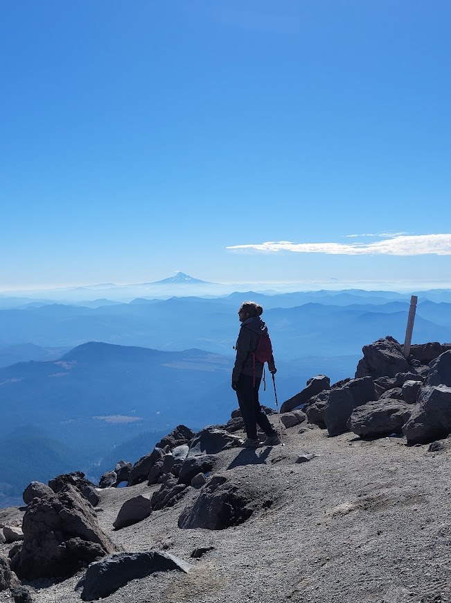
We hit the treeline, and began our ascent. The initial climb up the rocks is an easy-to-moderate scramble. Footing is occasionally sketchy, but nothing too bad if you go steady. I found I didn't need to use my gloves here nor my poles at this initial portion, but YMMV. Kept our eyes searching for the trail-marker poles as we climbed (some are loose, bent and broken, but there are enough present to make way-finding not too difficult). There were also enough fellow climbers visible in this open area to constantly course-correct when we veered off course). We were thankful for the early hour casting long shadows behind the ridges, keeping the sweat at bay. After a time we hit the BIG boulders, which was where the real scrambling begins. At certain points you need to heft your body weight up and over obstacles. The boulders were so rough they were fraying my cut-resistant gloves - make SURE you bring gloves! There are multiple ways up through the boulders, some easier than others. With a keen eye we could usually find the easiest, most trafficked way up. But scrambling up these boulders was such a treat for my inner child.
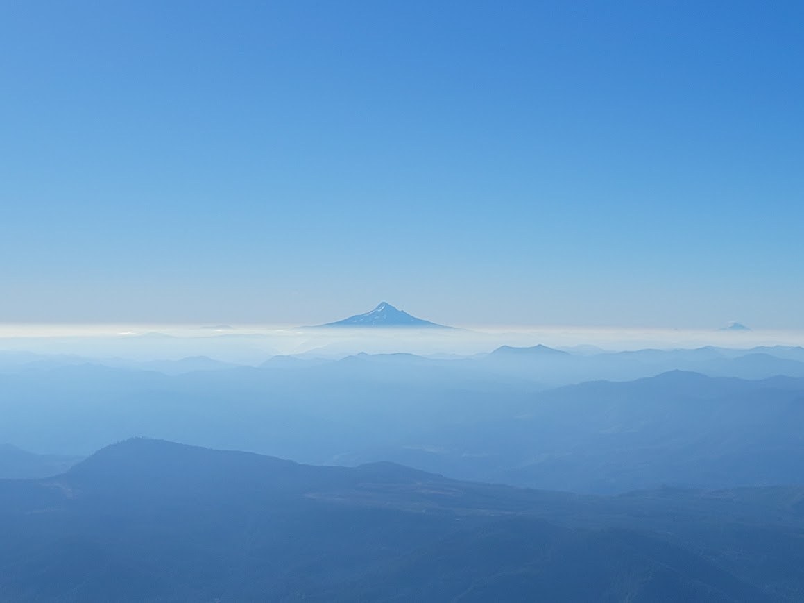
Didn't really see much wildlife besides the occasional chipmunk and flock of ravens. Was hoping for mountain goats, but was told by a volunteer with the MSH Institute that they prefer the north slopes. As for flora there's a few hardy scrubby looking things dotting the boulder fields ...but that's about it. But who needs these things when you have the VIEWS....as we ascended, we got treated to better and better views of Adams, Hood...and then eventually even Mt. Jefferson and the Three Sisters way down in central Oregon as we rose past the low-lying haze. It was in this large boulder field that the wind really hit us with full force - it had been dead calm before then. Make sure you also bring a shell layer to combat this, cause it gets cold fast.
After clearing the large boulders, the final 1,000 feet is a pebbly, ashy slog. Morale was lowest here. You can see the specks of folks at the summit, but it feels like they don't get any closer!. Just keep your head down, feet moving, and try and distract yourself with the scenic vistas all around. We also found the minor amounts of packed snow ironically helped with foot traction, when present.
Finally, the summit! The view is as spectacular as advertised, with Rainier greeting us to the north, and a smudgy hint of Baker beyond. The weather reports said that the rim temp would be about upper 30s at this time of day, and with the wind I wouldn't be surprised if temps were around freezing (check weather link below). A friendly MSH Institute volunteer at the rim gave us some fun facts about the volcanoes in the region, as well as the crater itself. A small rise to the east was flagged off, due to it becoming recently unstable, but you can still get amazing views down into the rim from where we were standing. We opted not to hike the extra 1/3 mile west to the true summit, but instead soaked in the view, took some photos, lunched, and reluctantly descended the way we came.
The descent is fun through the ash, as you tactically slip and slide your way down past hikers enduring the same ashy slog we had been suffering 30 minutes prior. I wish I had worn my gaiters I packed, as ash and pebbles inevitably & repeatedly found their way into my shoes. (Side note - I wore tennis shoes based off of some advice I found online, but I think hiking boots would have been far more stable. Not to mention they keep ash out better). The descent through the boulders is less fun, as what was a thrilling ninja-like scramble on the ascent becomes a tentative, slightly scary exercise in not tripping and face-planting into sharp boulders. We thankfully only stumbled a couple times, but without the hiking poles it would have been a lot more due to our leaden feet. Once again gloves were donned for this portion, and much appreciated.
At this point we were ready for the treeline, and much thankful when we stepped past the final boulder into the trees. AllTrails came in handy here, as we couldn't find the trail into the trees for a solid 5 minutes. (We must have followed some different trail marker poles down the final slope ) . The final 2 mile descent through the forest is lovely and a breeze compared to the rocky slopes, as we silently walked and ruminated on the beautiful day we had just had. Finished the trip off with some brews @ the Lone Fir Restaurant in Cougar, and some drive-thru coffees @ Dutch Brothers in Woodland.
I loved this hike, and would do it again in a heartbeat - I was especially impressed with the consistency of the trail markers, the well-maintained Ptarmigan Trail during the first 2 miles, and the courtesy and respect all of the other climbers afforded each other on the climb. I think the permitting system seems to be working as designed, in that it is limited enough (100 climbers per day) to where you truly can appreciate the remoteness of this alien topography you're traversing, but also allows enough entrants in to create a sense of relative safety and camaraderie amongst the climbers.


Comments
Seattle_Wayne on Mount St. Helens - Monitor Ridge
Thank you for such a detailed trip report. What kind of gloves did you wear? I have my Petzl climbing gloves but not sure I want to ruin those if the rocks are that sharp. Maybe some cheap Mechanix I can pick up at the hardware store.
Posted by:
Seattle_Wayne on Oct 08, 2024 07:16 AM
kreidykid on Mount St. Helens - Monitor Ridge
Hi there! I wore cut-resistant gloves that I snagged from my work, kind've similar to what you see here:
https://www.glovestock.com/westchester-719dgu-posigrip-grayhppe-pupalm-coatedglove.html#136=88
Although by all accounts, basic gardening gloves have done the trick for others. I mentioned in my post that the rocks started to fray the gloves, but it was only minor - they were not in danger of getting destroyed!
Posted by:
kreidykid on Oct 08, 2024 09:12 AM
Anna Roth on Mount St. Helens - Monitor Ridge
What a great summit shot! Thanks for the details - hoping to do this before it gets too snowy later this year :)
Posted by:
Anna Roth on Oct 08, 2024 11:59 AM