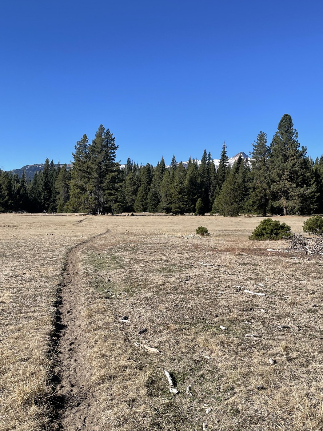
On this cold, clear Sunday morning, I set off from Conrad Meadows TH for a 2-night stay at Warm Lake. My car was #5 at the trailhead. I encountered 2 groups leaving as I was coming in. A third party had made camp at Warm Lake before I arrived, and they left the next morning. Save for a couple who stopped briefly at the lake a few hours later, I didn’t see another soul for the rest of my trip. My car was the only one at the trailhead when I returned, and the adjacent horse camp was also empty. It was perfect fall weather and the foliage was putting on a show!
The trail was well maintained, if dusty and horse-marked, save for a sketchy bridge over Conrad Creek. I chose to ford this (ankle deep) rather than risk falling through a plank and getting injured. There is a second sketchy bridge over the S. Tieton River at about mile 4, but this one was passable. The trail is mostly easy to follow until nearing Warm Lake. I suggest coming prepared with a gps map, as consistent beta for the trail beyond the S. Fork Tieton #1120 loop is difficult to find and validate. One from AllTrails was the most complete I could find, with waypoints, and it proved useful as the trail is challenging to follow once you gain the ridge above the Conrad Creek basin.
Surprise Lake is pretty, and there are a couple of decent campsites around it, but if you can push on, much more impressive scenery is found beyond this. The meadows past the lake hold several little social trails leading to lovely campsites (and apparently some climber paths). Here you’ll cross a few small streams trickling across the trail for decent water sources. When you depart the lollipop loop to head up to Warm Lake, you’ll encounter a few sections of steep uphill with no switchbacks and loose rock. Poles serve well here. When you reach the alpine meadows, all this trail drudgery is forgotten because the scenery is spectacular. This is where you’ll really want to watch your GPS map, lest you end up traipsing over sensitive vegetation trying to locate the trail you’ve lost. Once you do locate Warm Lake, there are a few established tent sites, but also large areas of alpine vegetation - tread carefully! There is a lot to explore up here and I was glad to have taken a full day in between hiking in and out to do so. I did not attempt to gain the ridge above or approach Gilbert Peak on this trip, but watched one person try and fail to find the path leading up to the ridge. I hated to leave my paradise of solitude but woke to changing weather on the 3rd morning. As I descended, I turned back at a couple viewpoints to see the peaks of the Goat Rocks becoming socked in and was glad to have escaped the incoming precipitation!
ps. My gps watch clocked the hike up to Warm Lake at 10.3 miles and 2769’ elevation gain.


Comments