We hiked from the North Trailhead, accessed by a very rough 4X4 road named Five Mile Road or FR 7224 just past the 168 mile marker on Hwy 97 coming from Cle Elum. The directions for this trailhead are in the WTA listing (last paragraph in the Directions section). FR 7224 is very rough, best for 4WD vehicles. An AWD with high clearance could manage it as long as the road is dry. I wouldn't try anything but 4WD myself. (Tell that to the pop-up camper that was left behind in a small clearing about a mile up from Hwy 97.) Also, Google maps has this Northern TH as a destination "Tronsen Ridge Trailhead (Req 4x4)" but the picture is not recognized. The road is open and cleared of any obstacles except for the ruts and bumps.
The trailhead sign is missing its details, except for icons that permit horses, motorcycles, bikes and hikers. Note that it is closed to wheeled vehicles from Oct 15 - Apr 15.
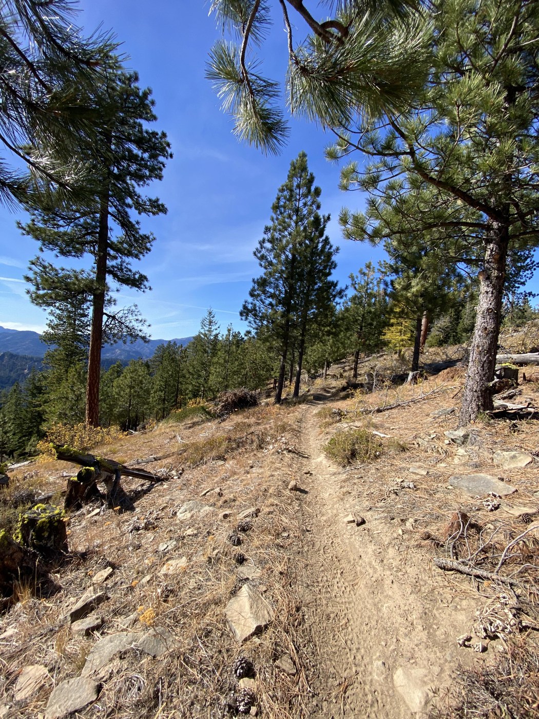
The trail itself is in very good condition, with no blow downs impeding our progress. Trail surface varies between rocky, dusty, gritty and duff as it switches over topo lines, crosses saddles, meanders through tree cover and skirts the high points of several peaks along the way.
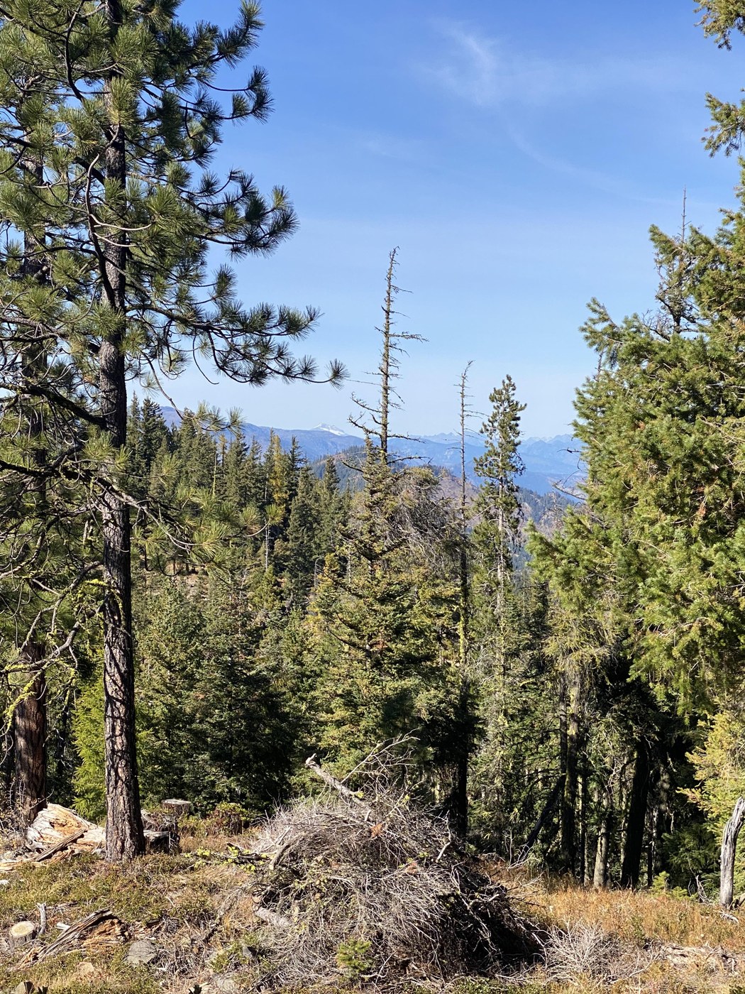
At about .6 miles from the trailhead is a saddle and an overlook spot towards the Mission Ridge area. Today was so clear we could see beyond that. A few larches were starting to yellow out at their tops. Views of the Stuart Range over my shoulder on the switchbacks up to this overlook were clear and photo worthy. At 1.9 miles from the TH, another viewpoint shows off Mt. Rainier and because today was very clear, Mount St. Helens. A section of Hwy 97 pops out of the greenery below and looking beyond, I could pick out Blewett Pass. This clearing also has a boot path up to a peak to your right as you look toward the two big mountains and is worth tackling.
At 2.3 miles from the TH, I noticed an odor that seemed to be of animal origin, then I noticed animal prints in the dusty trail. I know there is a wolf pack in this region, but wasn't sure these were wolf prints. I confirmed when I got home that they were LYNX or Bobcat or cougar. No toenails and rounded pads were the clues. I did see deer prints and further up the trail what seemed to be dog, but since no dog prints were evident until mile 2.8 I surmised they were wolf or coyote. Bill stirred up 3 grouse (as I lagged behind I missed all three), and other than a chipmonk we saw some ravens, swifts, red breasted nuthatch and a Canada jay.
We turned around at a rocky promontory (4.1 miles from the TH). Only one other vehicle arrived as we started our hike, with three fellow hikers.


Comments