
On iPhone, Apple Maps did not have directions to this trailhead, but Organic Maps (OpenStreetMap) provided perfect directions. Just search for "Tonga Ridge Trailhead".
The dirt road starts right after the first bridge, and is in excellent condition. Very slight washboarding in places, but otherwise pretty darn flat for a dirt road.
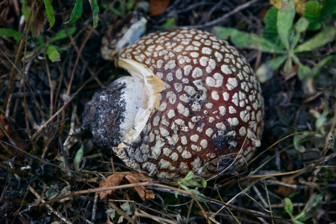
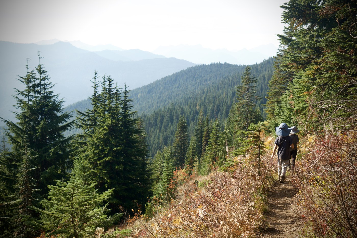
I think we came on the tail end of the mushroom season, many we found were wilted or trampled, but still saw some cool mushrooms. At points of the hike you will be flanked by golden ferns on either side, with some red underbrush.
I didn't make it to the very top of Mt. Sawyer, my party had to split up, but I heard the top was the best part.
It's mostly an easy 6 miles, much of it is shaded, but I did start to sweat during the steeper (and less shady) path up to Mt. Sawyer toward the end.


Comments