Quick-and-dirty version
Access: Scatter Lake Trailhead
Round Trip: 12 miles
Elevation Range: 3160'-7618'
Essential Gear: helmet
Dog-Friendly: with guidance
It was our second time on this trail 13 years after visiting Abernathy Peak above Scatter Lake. Campgrounds along Twisp River Road were now fee-free late in the season. We car-camped at the empty South Creek Campground,
TWISP RIVER ROAD: Paved and free of debris.
THE TRAIL: An maintained path to the lake except the two dozen downed trees in the first three miles. It briefly overlaps with Twisp River Trail before zigzagging up the gentle slope.
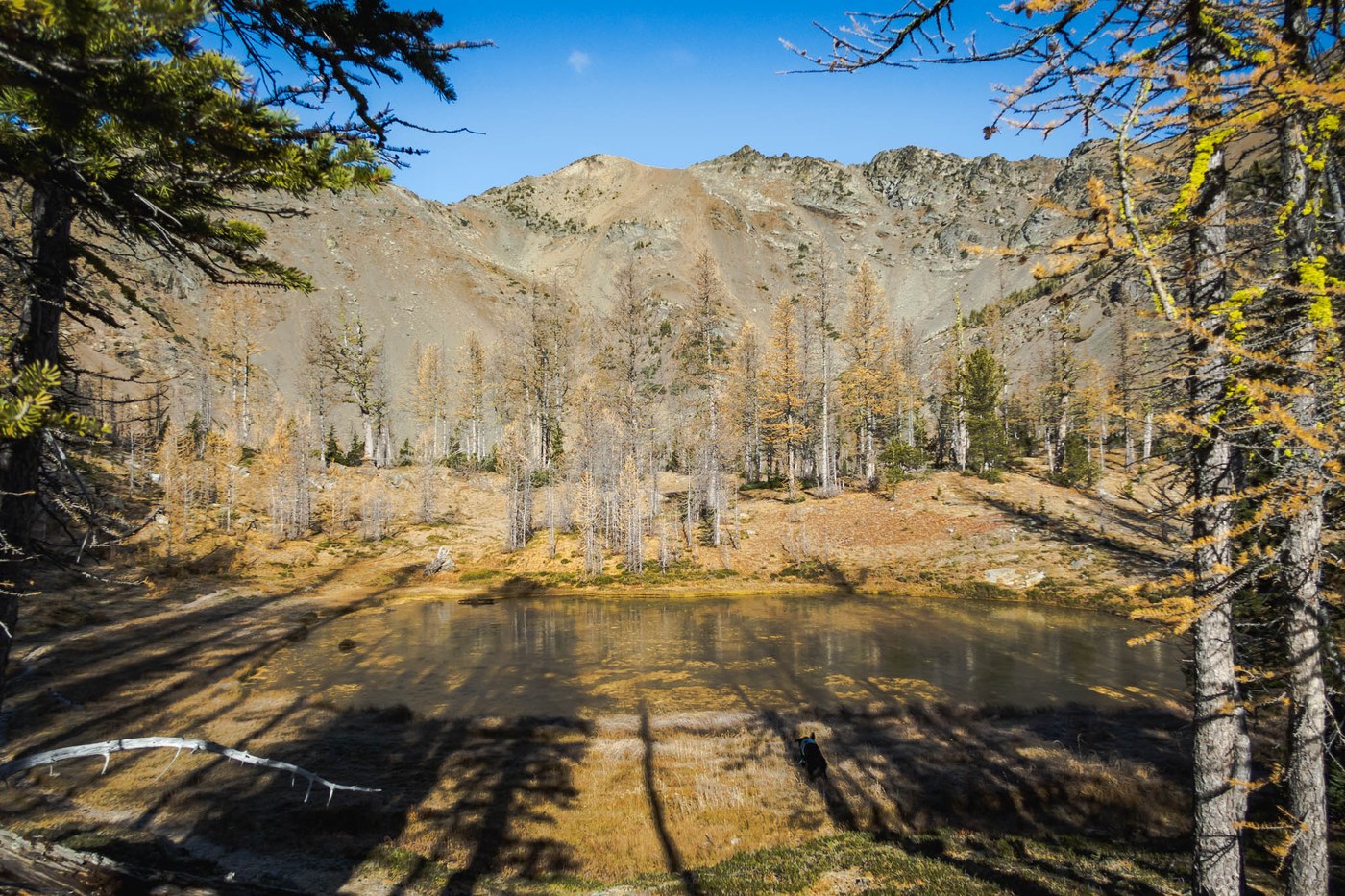
THE LAKE: Semi-frozen and covered in larch needles.
THE WATER: A tiny stream at mile 1.5 followed by water from Scatter Creek at mile 3. Five more streams to mile 4.25, including Scatter Creek. Our last water source was Scatter Lake at mile 5. There was a thin snow patch on the yellowish color saddle between Point 7763 and Point 7612.
Our Route
- Hike 5 miles to Scatter Lake and go west cross-country over Point 7763 via the east ridge.
- Drop to the south saddle and go over Point 7612. One can also bypass the peak from the north slightly below the top.
- Continue through Point 7416, the rockiest of the three high points.
- Hug the crest to Greyhorn Peak's southeast ridge at 7400' and move into the southwest gully.
- Climb the peak, retrace steps and hike out.
Highlights
- Vistas in the vast Lake Chelan-Sawtooth Wilderness and the national forest
- In-your-face view of Abernathy Peak
- A bluebird turned partly cloudy day
Lowlights
- Windfalls in the first three miles of the trail
- Traversing over three ridge bumps to get to Greyhorn


Comments
starlopez on Greyhorn Peak, Scatter Lake
awesome pics! Love the doggie-o
Posted by:
starlopez on Feb 24, 2025 05:54 AM
onehikeaweek on Greyhorn Peak, Scatter Lake
Thank you!
Posted by:
onehikeaweek on Mar 05, 2025 01:50 PM