Before starting your hike, consider stopping at Mount Tahoma Trails Association Office, right next to the trailhead to get a map and current trail conditions. The trailhead link on WTA wasn’t totally accurate… we overshot the trailhead and went to the office, then backtracked 1 mile to the west till we saw the brown sign that said “92 road” and turned onto it.
The upper snow lot location changes depending on the snow levels, and right now it was 3.5 miles away from Copper Creek Hut. The road leading up to the upper lot was fine for all vehicles - small patches of ice towards the top but not much.
There’s not enough snow on the trail to snowshoe to Copper Creek Hut (but there is some ice) so we used microspikes to the Hut, stopped for lunch (it’s open to visitors during the daytime). They have filtered water for drinking, an outhouse, a kitchen stove to heat up water. To get to the hut, download an offline map to use with GPS, as there as several forks in the trail that don’t have signage.
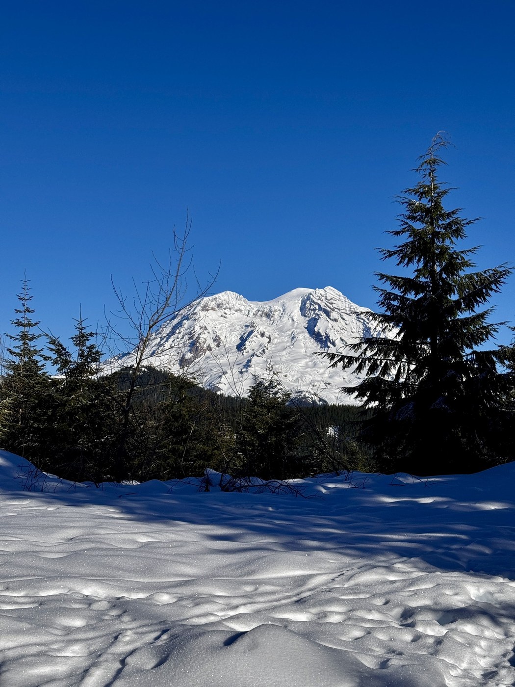
From the hut, we continued on for ~1.5 miles to the Tenth Mountain/10 mountains viewpoint (can’t remember the exact name - it’s on the physical map from the trails office, but didn’t see it mentioned on WTA). At the end, there’s a great close up view of Mt. Rainier. Towards the end of this 1.5 miles, we could have used snow shoes as there was some postholing but we made do with just microspikes. Overall we hiked 11 miles in around 5 hours.
Trip Report
Copper Creek Hut Snowshoe — Saturday, Jan. 18, 2025
 Mount Rainier Area > SW - Longmire/Paradise


Comments