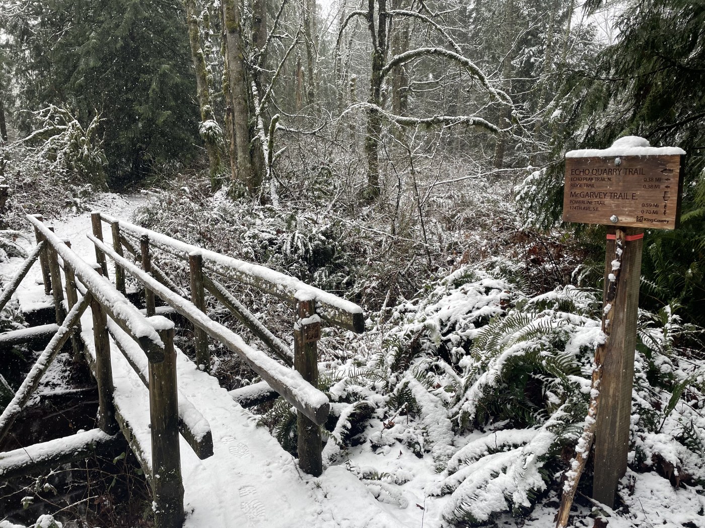
Left my house close to Maple Valley Heights Park at 12:30 and headed into McGarvey Park open space. A short way down the power lines behind the ball field is a trail to the left leading to a lake called on the map "wetland 14 natural area". Its just before you start heading up the first hill. A short distance through the woods and your on a gravel road leading to the lake. You can access this area from a different part of my neighborhood that has a small parking lot at the end of se 170th St. There are apple trees here and some power lines. It was private property at one point but now it belongs to the King county I think. Heading south the gravel heads to left and there is a trail that heads to the right. Following it to the right until there is another fork. There is a sign here and a bridge. Going to the right will take you back to McGarvey Park and a maze of other trails. Go Left over the bridge to Echo Peak (or Mountain), it's called both. The signs say peak on the trail. The map says Echo Mountain. Staying on this trail will turn into the Echo Quarry trail, which leads to the ridge loop trail you will see signs here. Go right and stay right signs leading you up to the peak. I have been up here several times from the Spring Lake Trailhead, but this is the first time from my house. It's just under two miles each way. I used the "All Trails" app making it a piece of cake. Snowing pretty good today I only saw two others on the trail. I took a few pics at the top and headed back the same way I came. Left the peak at 2:00 and arriving home at about 3:00. I have been to the lake a few times and the peak from the direction and have been wanting to connect the trails for a while. I'm glad to have finally put it all together. It is my new exercise walk/run after work now. Happy Trails !
i


Comments