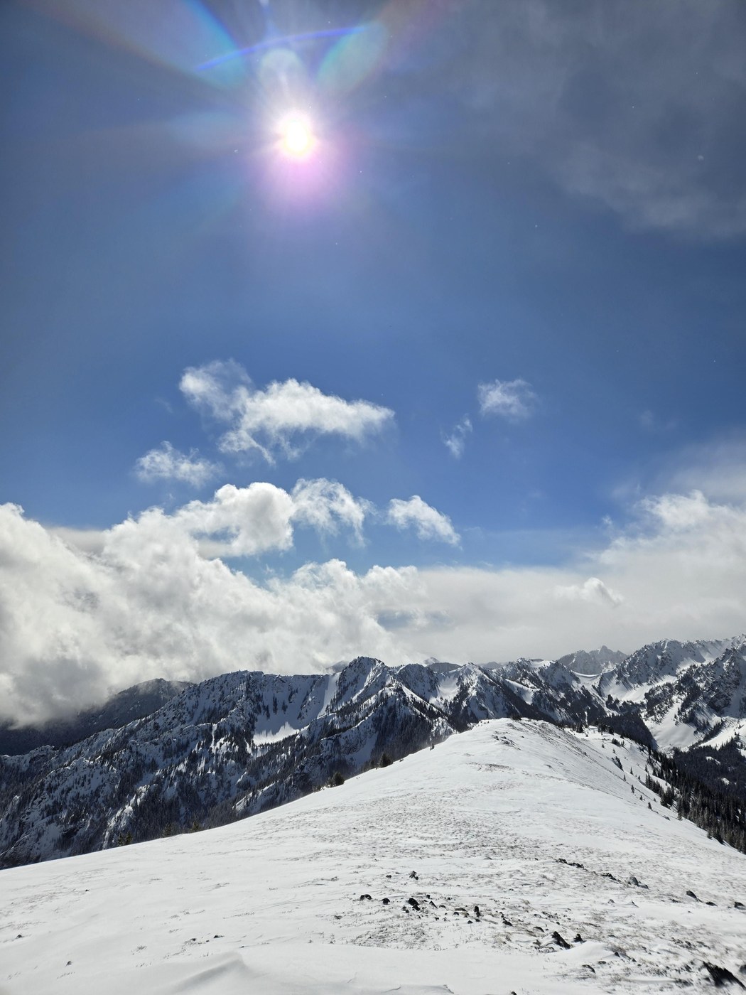
snow on road starting around 3200'. All but the last mile to the upper trailhead should go in all vehicles. The last mile goes with a high clearance 4x4 with snow tires to get over some snow drifts but snow conditions changing rapidly (melting when we departed) we parked at upper TH. Road has lots of litter but no fallen trees. We did not take the summer route to avoid avalanche danger. Instead we ascended the ridge exactly on the wilderness boundary departing the trail at 4120'. Only a few areas of denser bushwhack. Once on the ridge we turned west to ascend Townsend and Townsend North. No floatation needed. Large cornices on north and east aspects. South and West aspects had some patchwork of bare rock. Floatation never used. Don't overthink the ridge it is pretty simple. Windy and sunny


Comments
#outdoorjeff on Mount Townsend
Answer the recommendation about how to access it via the wilderness boundary. I never realized that was a safer route than the established trail in the summer.
When do you think a little two-wheel drive hatchback can make it to the trailhead?
Posted by:
#outdoorjeff on Mar 22, 2025 09:33 AM
DerrickW on Mount Townsend
Road conditions can vary week to week this time of year. I would recommend checking nearby snotels and fs.usda. Lower TH probably easier to get to.
Going along the wilderness boundary is safer from an overhead hazard perspective wrt to avalanches, but you do have to contend with some bushwhacking. You can learn more about route selection in AIARE I
Posted by:
DerrickW on Mar 23, 2025 09:57 AM