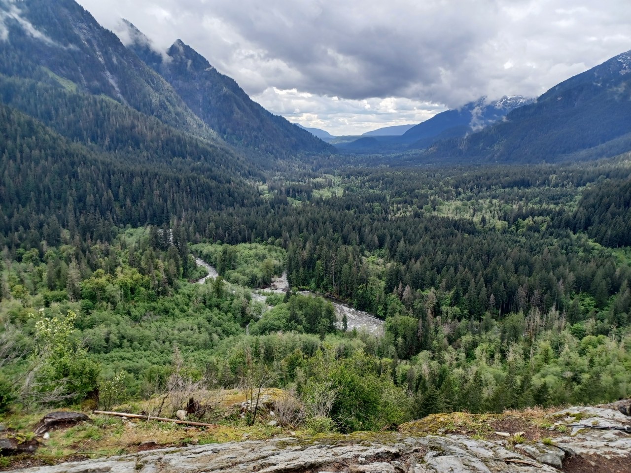
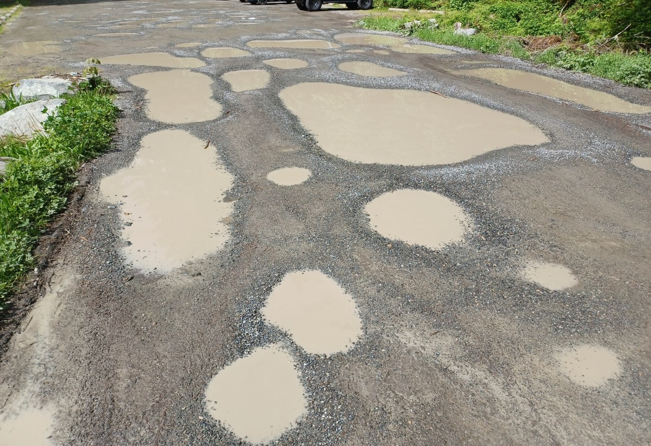
I was in the neighborhood for a WTA training event today so I decided to take advantage and hike to the Garfield Ledges when my event was over. Leaving the Middle Fork parking area around 1:30 PM, I followed the Middle Fork Connector Trail to the bridge over the river and followed the road to the parking area and trailhead for Garfield Ledges. I recommend parking in the Middle Fork parking area if possible because after that point, the road and parking area for Garfield Ledges both have large potholes to navigate.
The trail to the Garfield Ledges is short (1.7 miles round trip) but is pretty much all uphill. Fortunately, the steepest sections just before the first ledge viewpoint have steps that I very much appreciated today. Overall, the trail is in good shape but there is one large spot with water over the trail and the section leading up to the second ledge viewpoint has many protruding rocks so good boots are a must. Strava measured my round trip hike from the parking lot and back to be about 3.8 miles, which was just about right after a busy weekend of training.


Comments