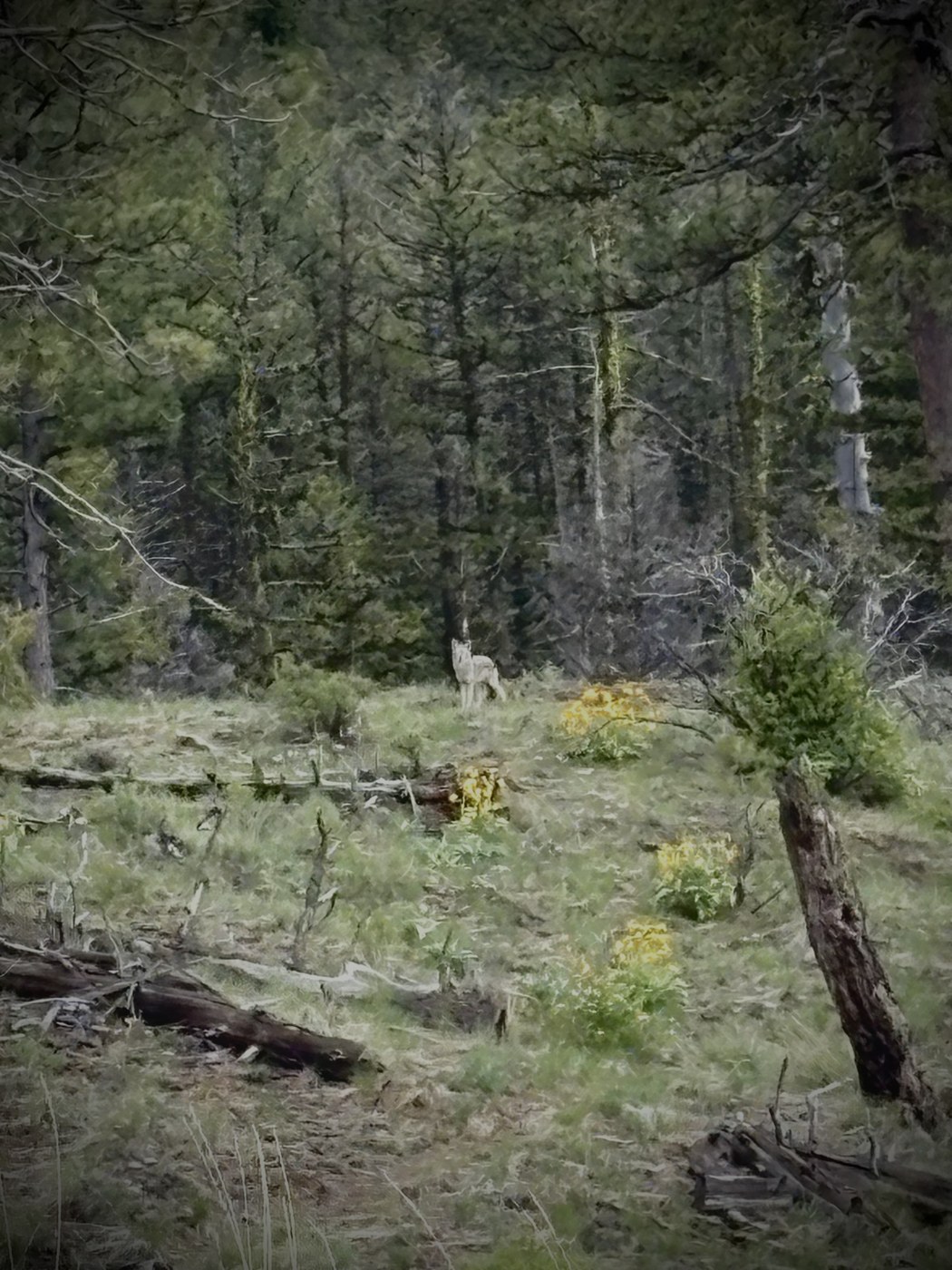
I backpacked Thirteenmile trail solo from the Thirteenmile trailhead to the Bear Pot trailhead and back between May 18-19 and really enjoyed the trip. This trail is somewhat challenging but I was rewarded with fantastic views of Colville National Forest and desired solitude. The trail from Thirteenmile trailhead heading east is consistently uphill until you reach the east side of Thirteenmile Mountain. Although the grade is not extreme, the climb felt relentless at times. There were a few small fallen trees crossing the trail between the trailhead and Thirteenmile Mountain that I would expect most people to be able to step or gently hurdle over. However, deadfall becomes more frequent and challenging to cross over, under, and around throughout the drainages near Bear Pot trailhead. I did not encounter any snow. There are several opportunities to resupply water in draws visible on maps between Thirteenmile trailhead and FS 2054. However, the spring fed creek just east of FS 2054 is the last good water resupply point for several miles until the trail crosses a fork of Thirteenmile Creek that drains the Bear Pot area, southwest of the trailhead. However, there are a few small, brackish pools that could be used in a pinch with a good filter. The trail is exposed along the ridgeline between FS 2054 and Thirteenmile Mountain, offering amazing views of the surrounding terrain but also offering no respite from rain, wind, and sun. I was fortunate enough to see a beautiful lone gray wolf just west of Thirteenmile Mountain. We were separated by about 150 yards and watched each other curiously for a minute before it continued north and down the ridge. The wildflowers were beautiful.
Trip Report
Thirteenmile — Sunday, May. 18, 2025
 Eastern Washington > Okanogan Highlands/Kettle River Range
Type of Hike
OvernightTrail Conditions
Minor obstacles posing few problemsRoad
Road suitable for all vehiclesBugs
Bugs were not too badSnow
Snow free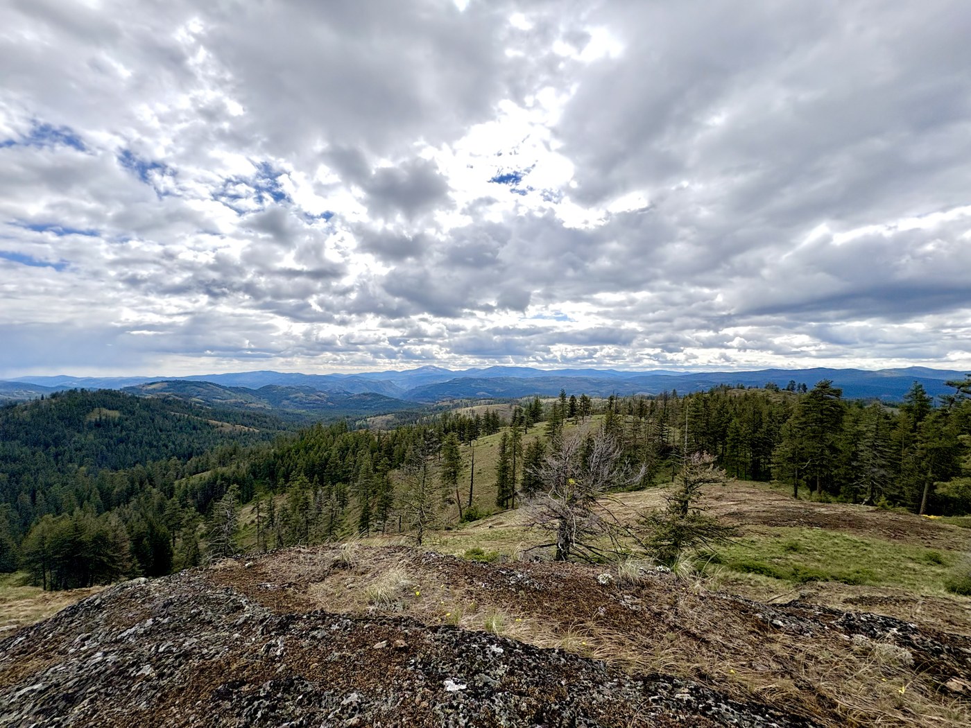

Comments